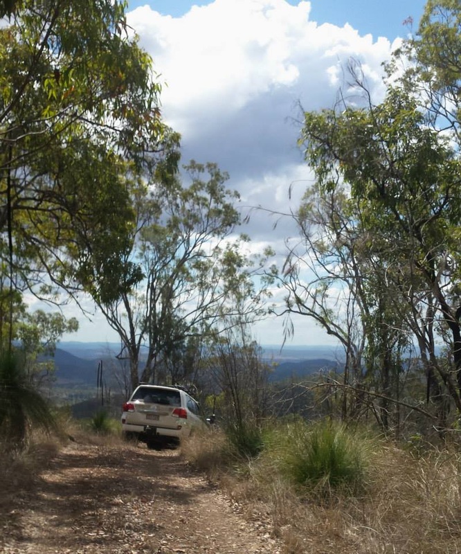
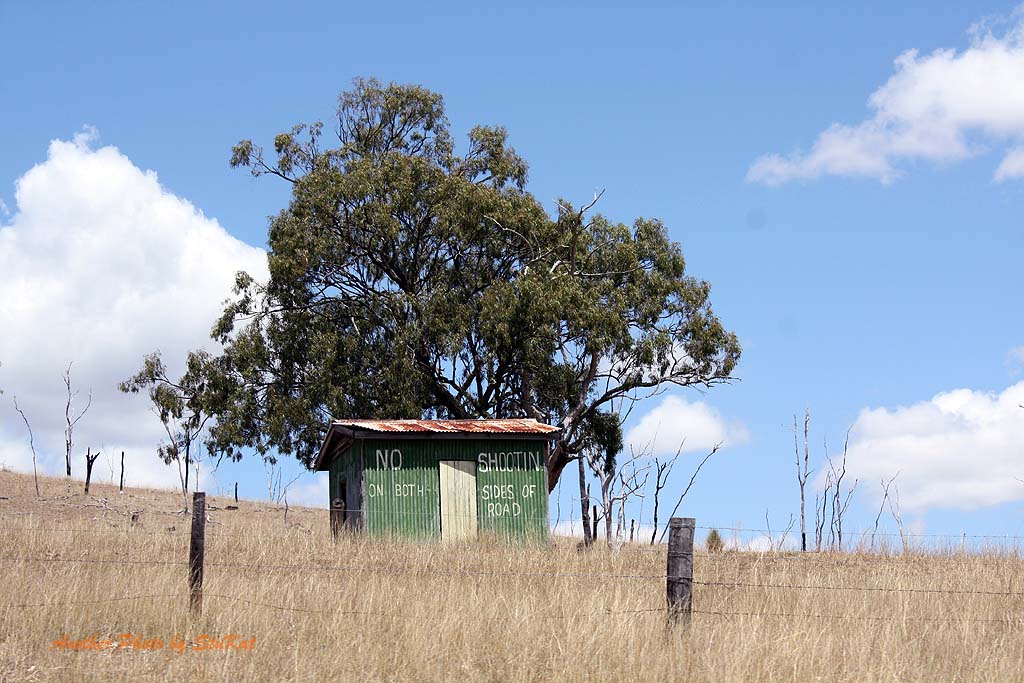
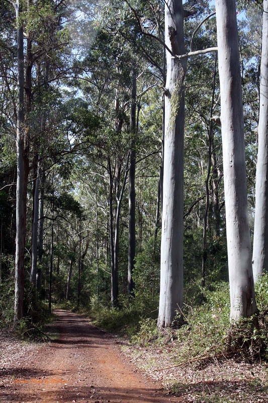
Header Image: Taken on the Eastern Branch Road, North of Linville, Qld.
Kilcoy to Kilkivan & back - A SEQ Overnighters Adventure.
This trip was on the weekend of the 18th & 19th of October 2014.
 GPS Images courtesty of Trent Whitehead. I had problems with my iPad and did not get a full record.
This trip ended up being the first trip for a new Facebook group I created called "SEQ Overnighters 4x4". It did not appear on the group's event page because I had created the event before the group.
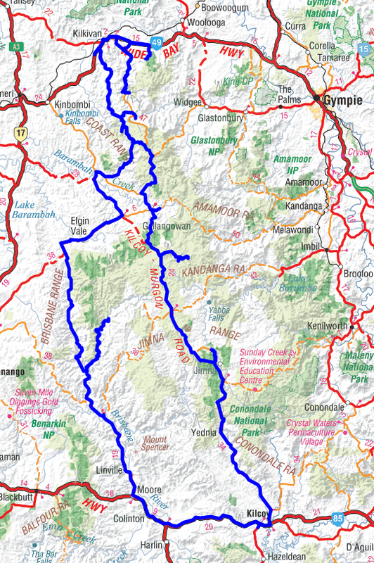
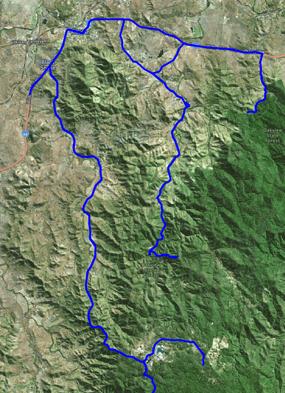
HEMA App Track Stats:
Kilcoy to Kilkivan track distance - 211kms.
Kilkivan to Kilcoy via alternate return route track distance - only 171kms recorded. (GPS problems)
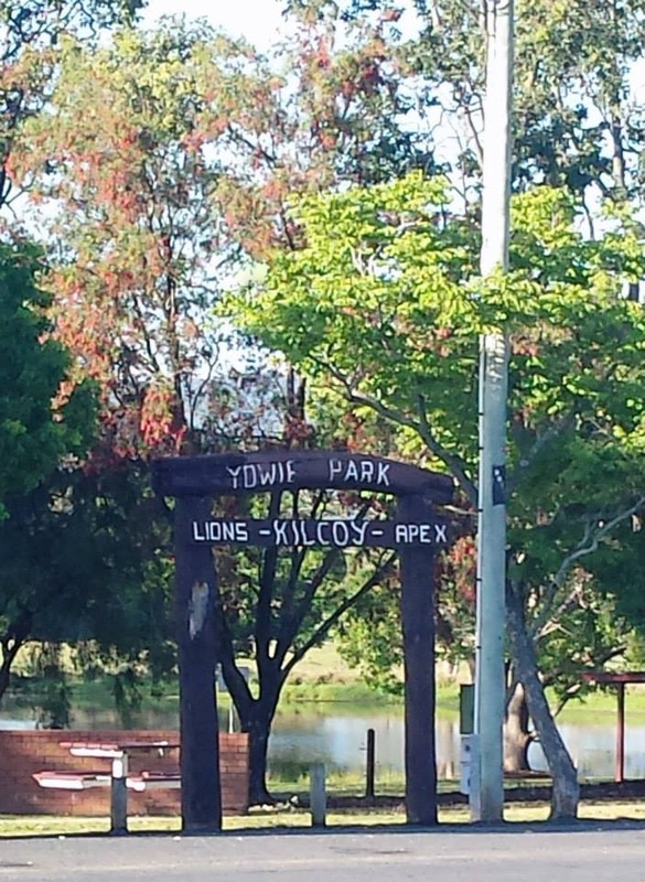
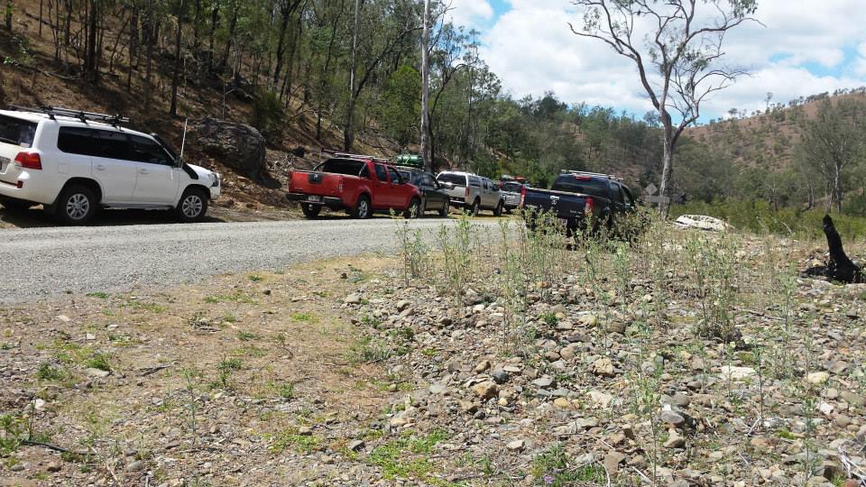
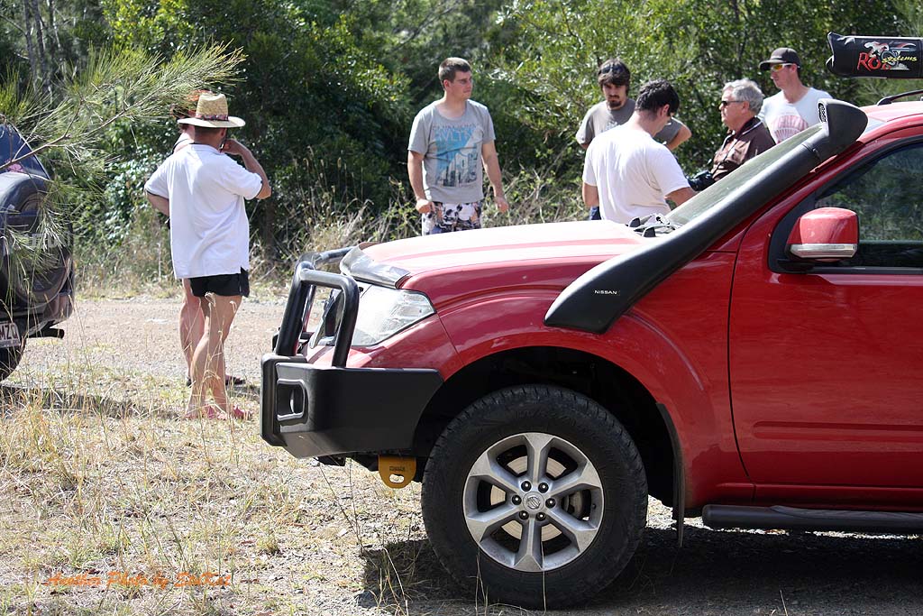
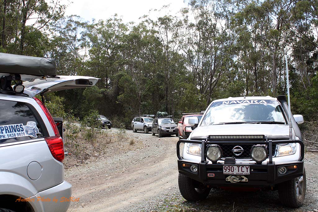
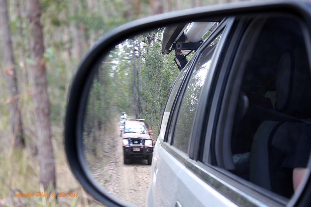
Our meeting point was at Yowie Park in the South East Queensland town of Kilcoy where some of us were meeting for the first time, and others were catching up. After introductions were made and a briefing on convoy rules we set off toward the town of Moore where we would leave the D'Aguilar Highway and turn North toward Linville for our first stop.
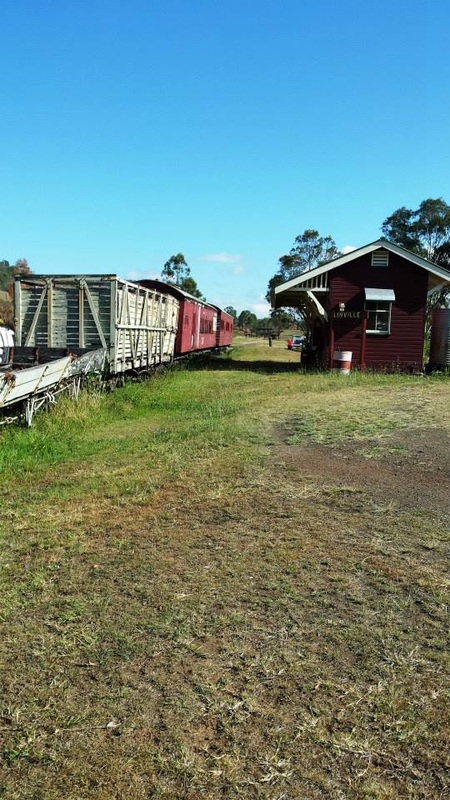
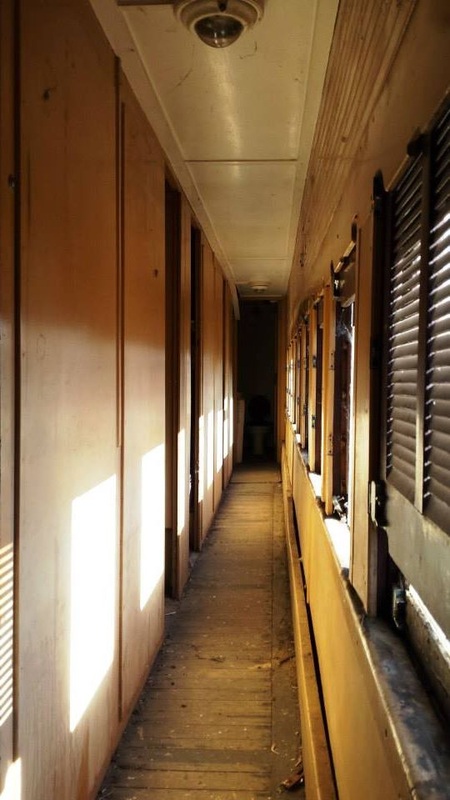
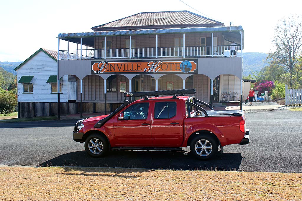
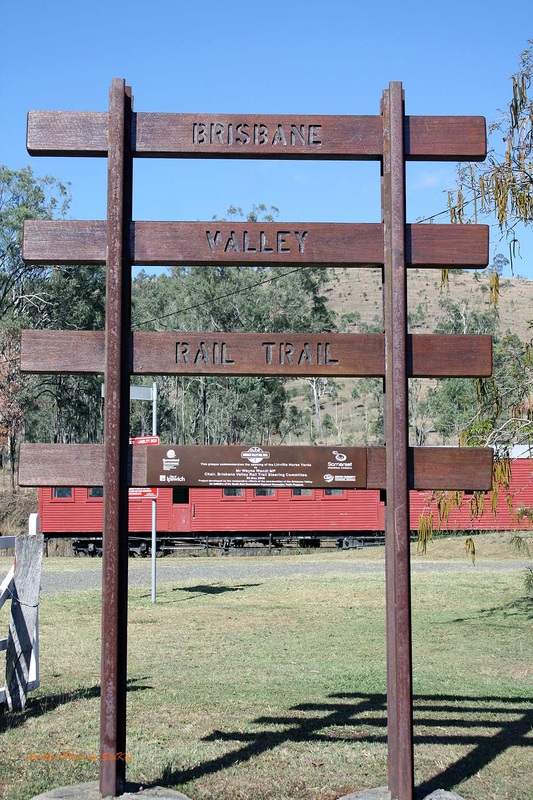
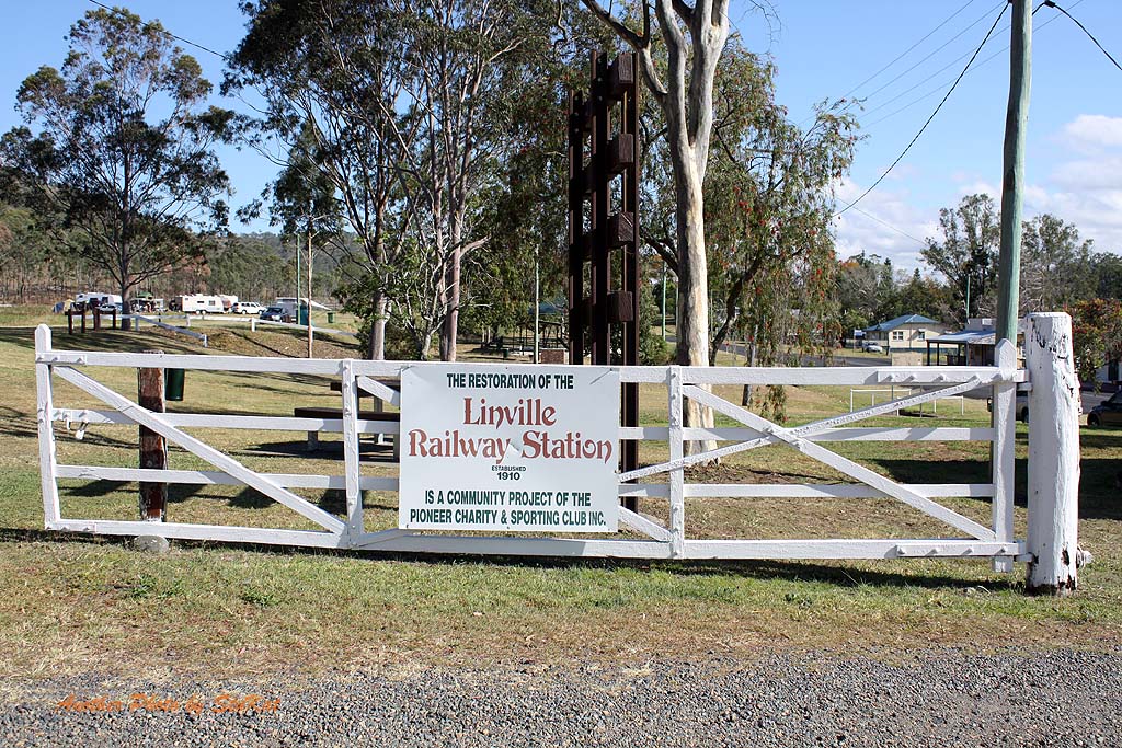
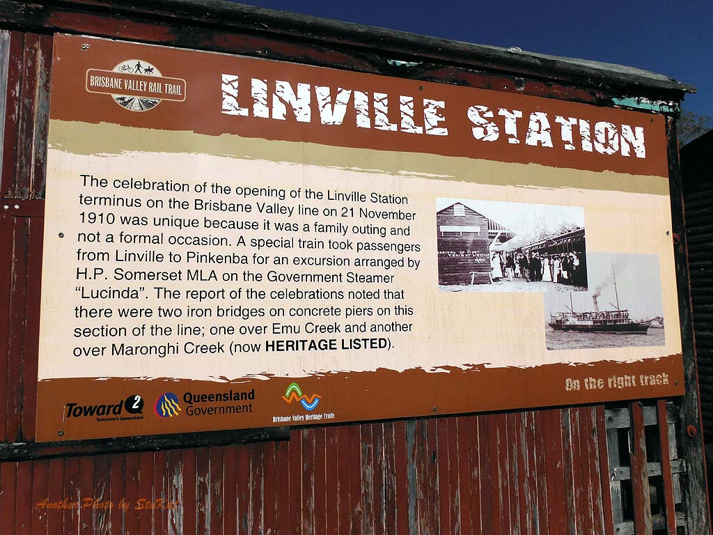
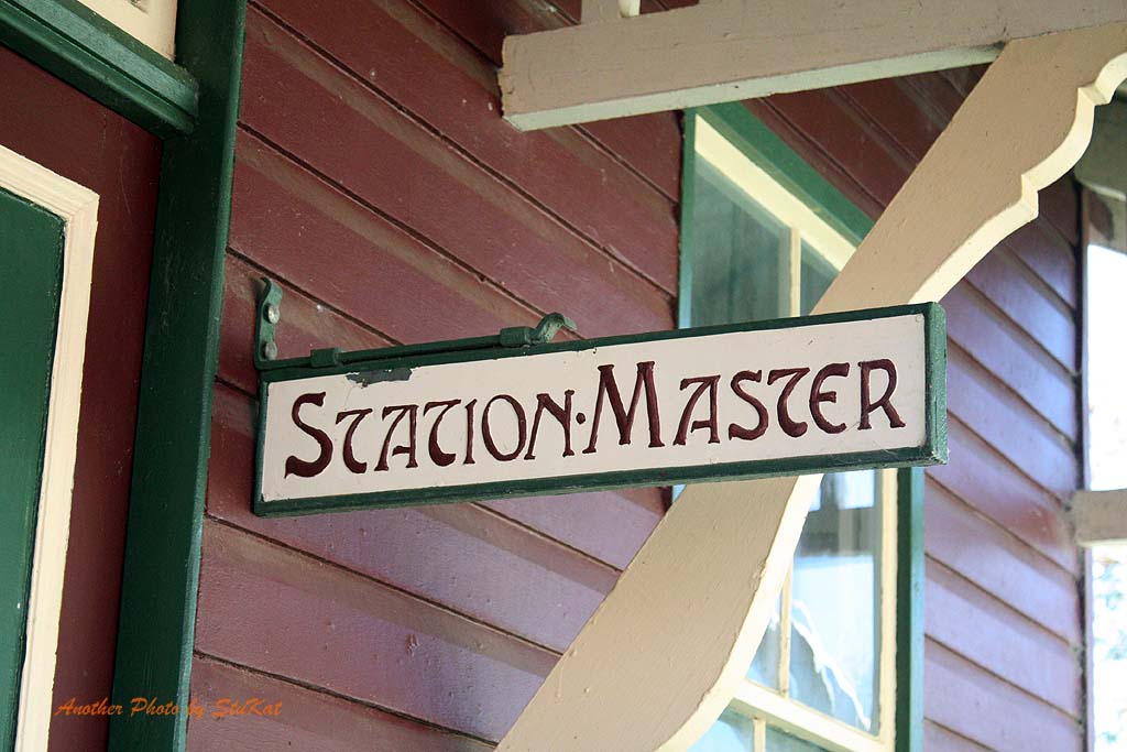
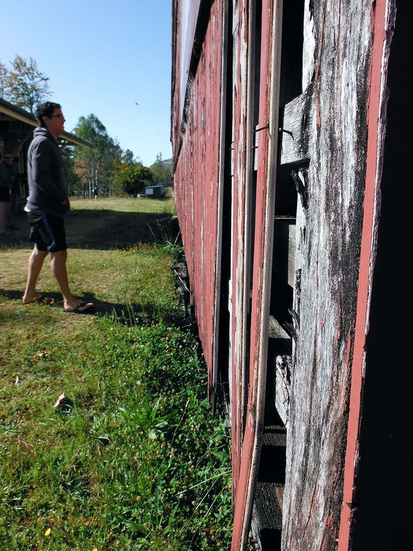
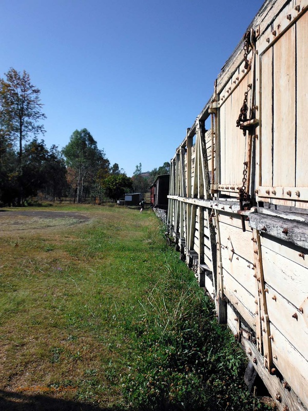
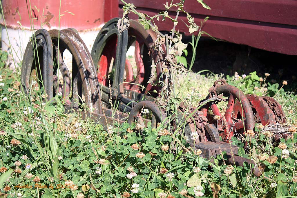
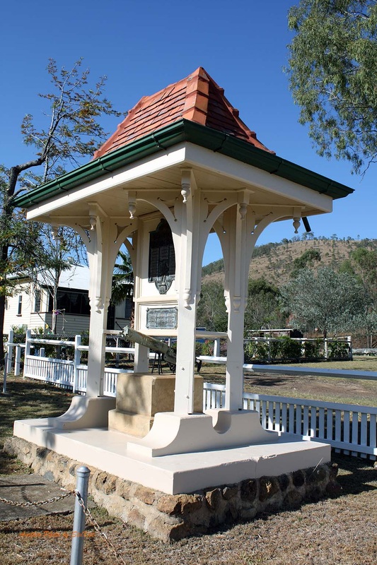
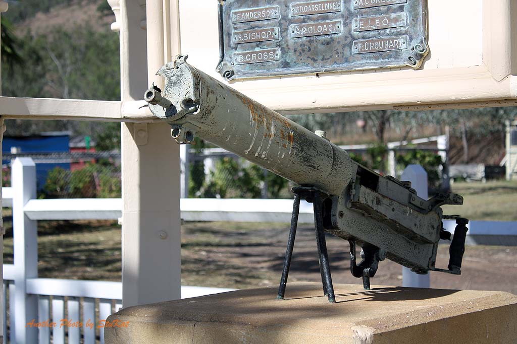
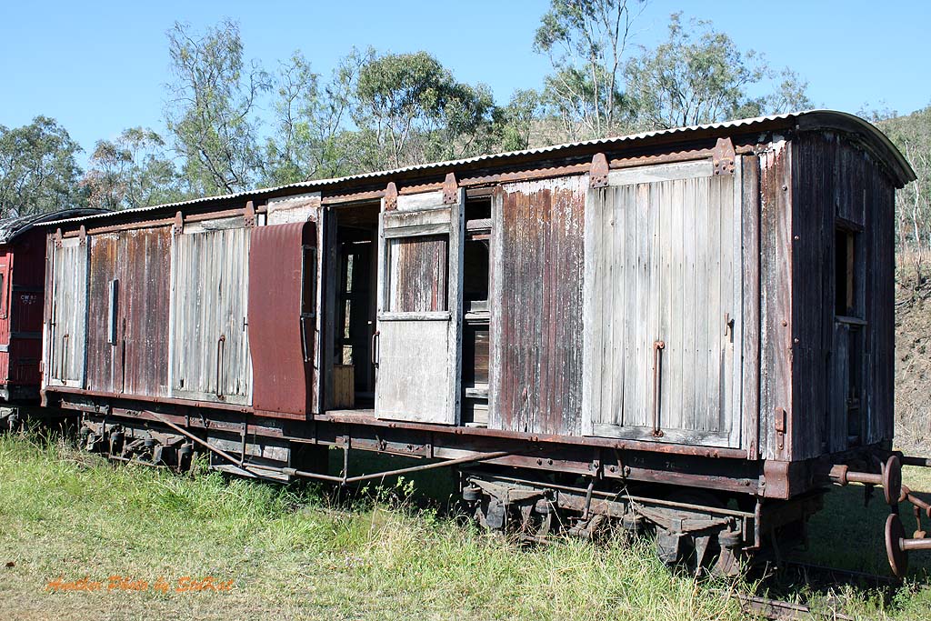
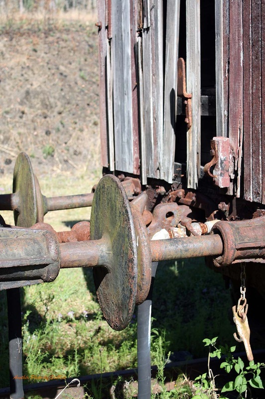
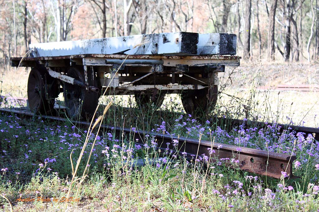
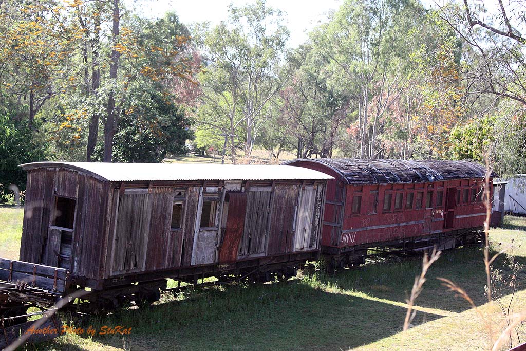
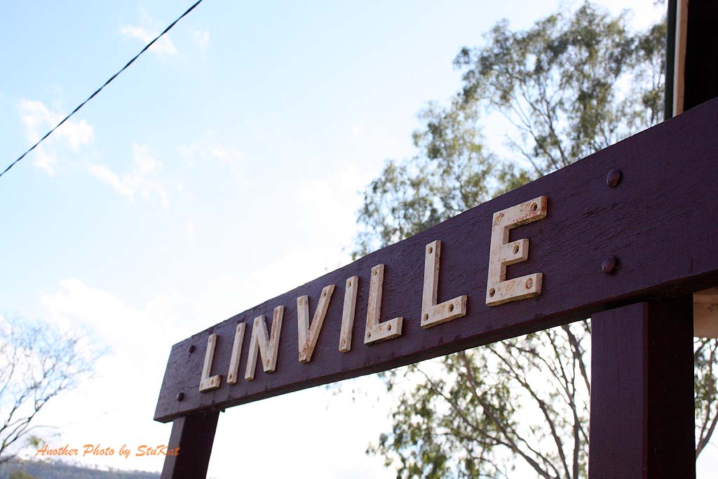
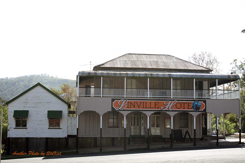
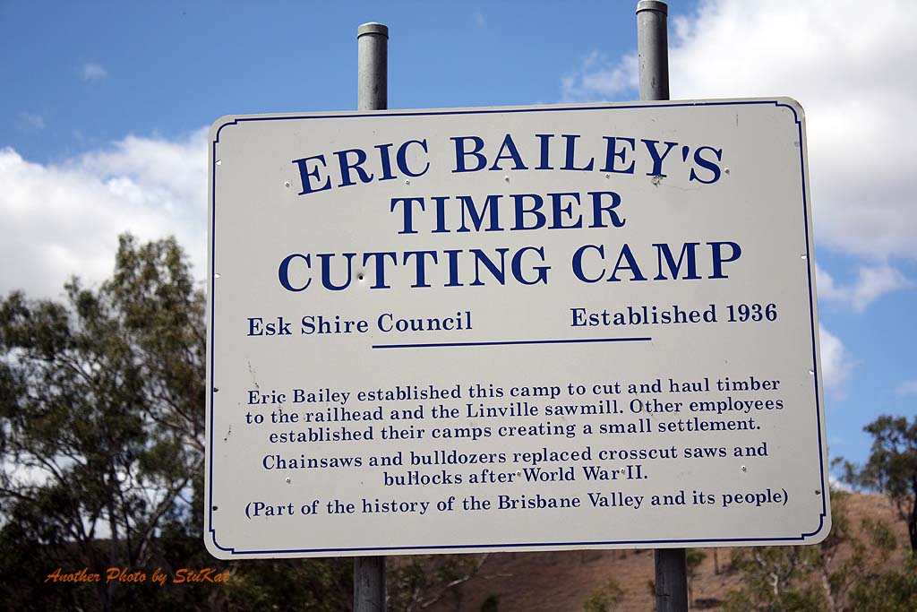
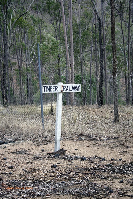
There were 6 vehicles in our troop with one of them leaving us that afternoon and another joining us in the morning. We had a total of 8 people split between the 6 cars each day. Arriving in the town of Linville, an old Cobb & Co Coach stop in the early days and eventually a rail spur for logging endeavours, we pulled up to have a look at the old Railway Station and grab a few snapshots. (see gallery below)
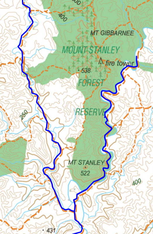
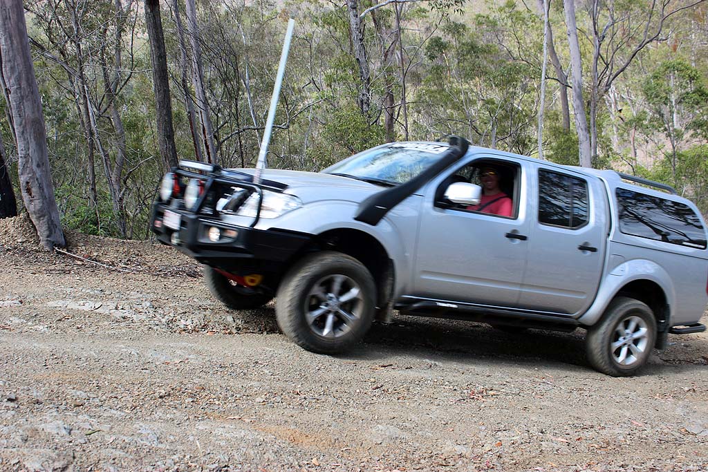
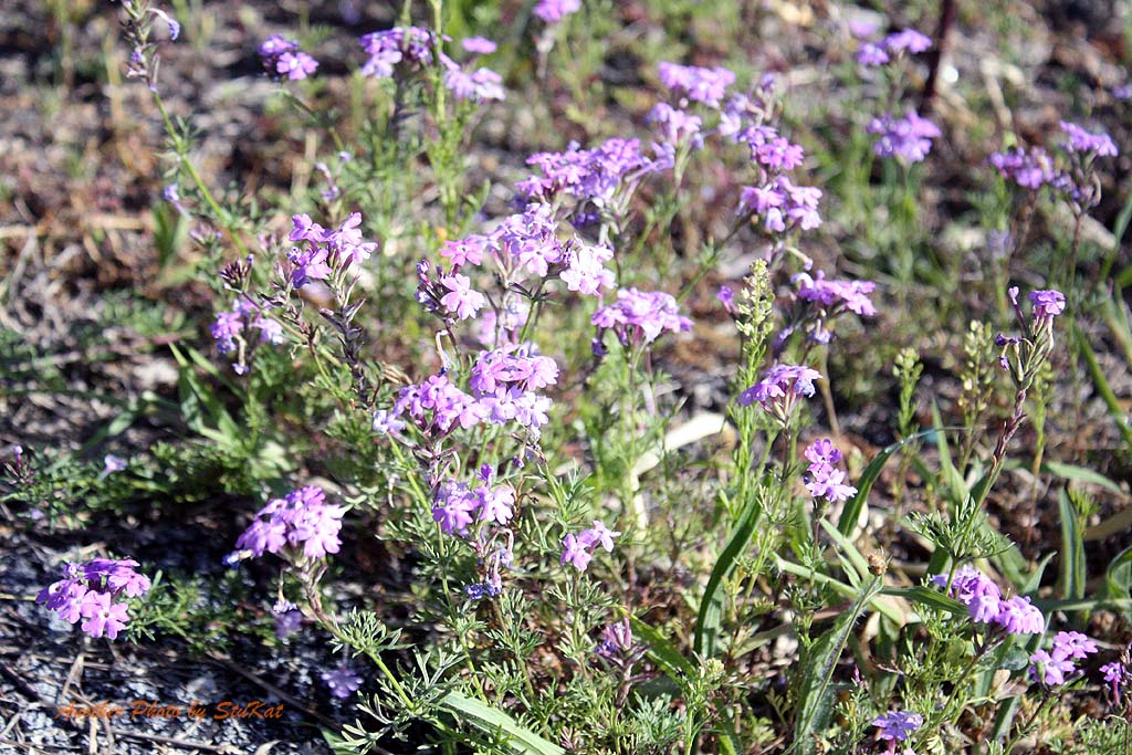
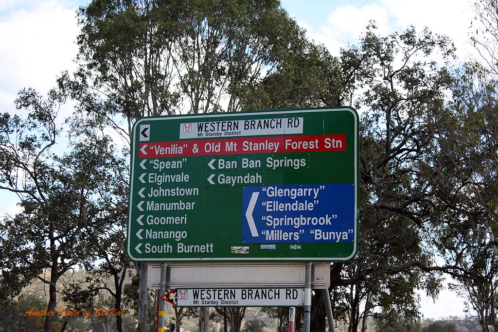
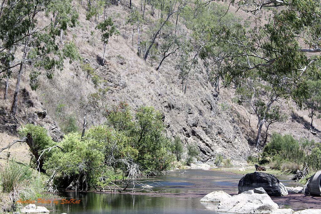
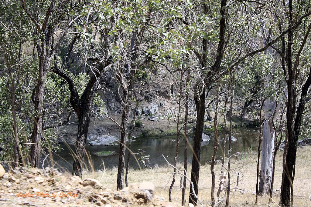
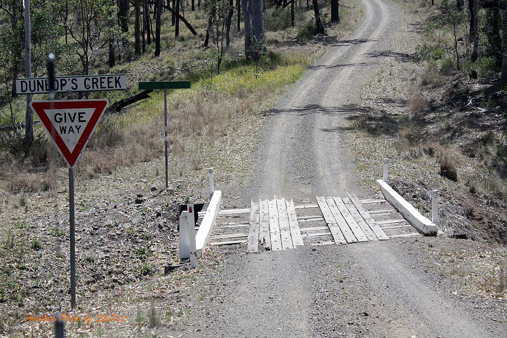
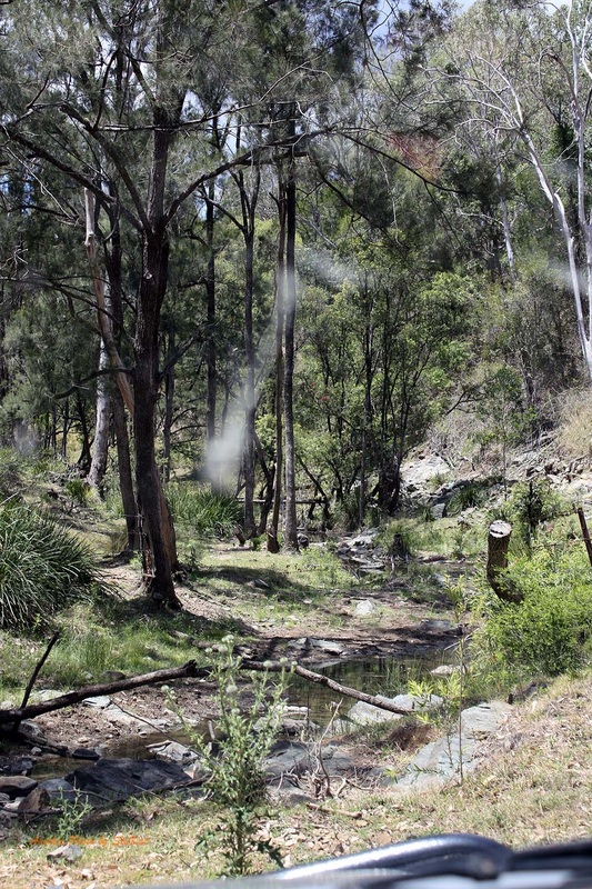
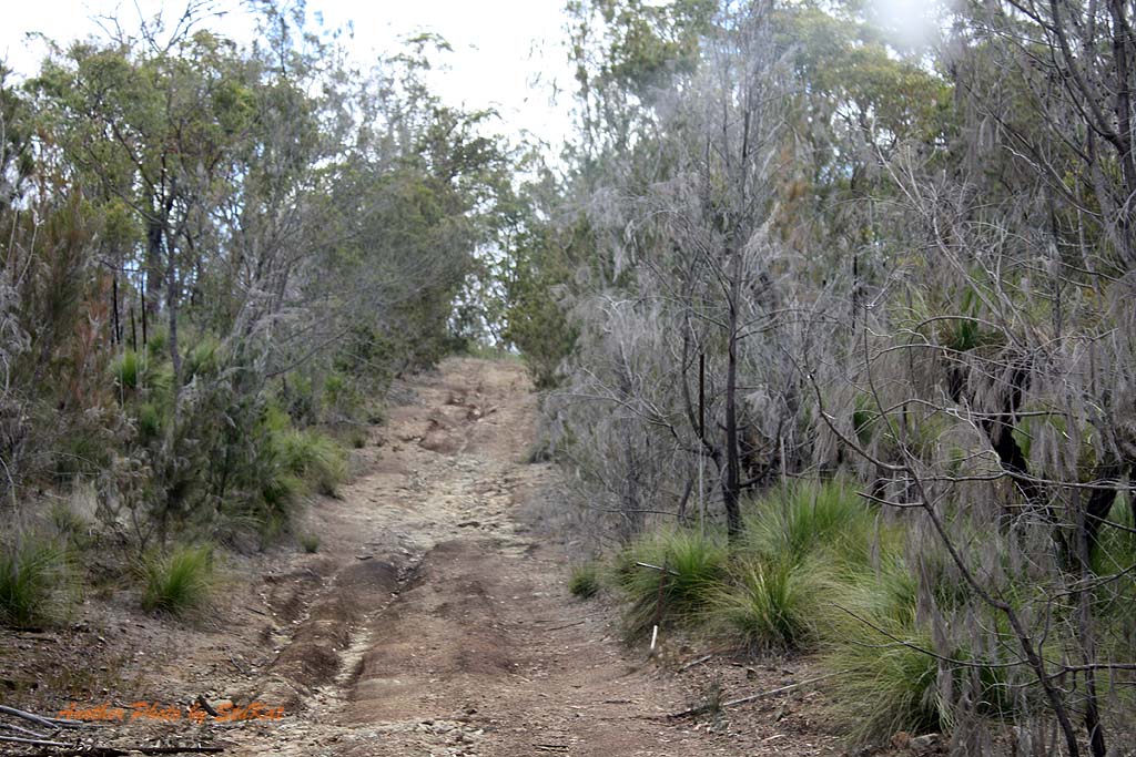
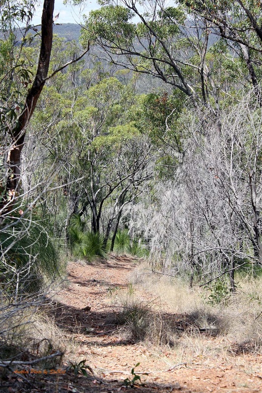
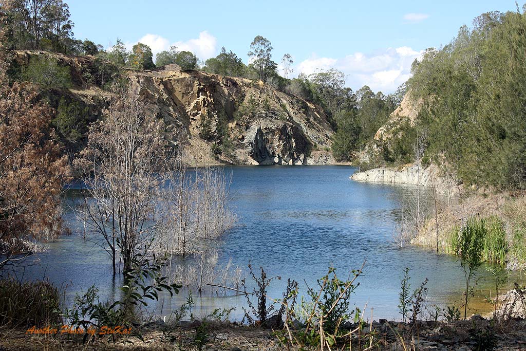
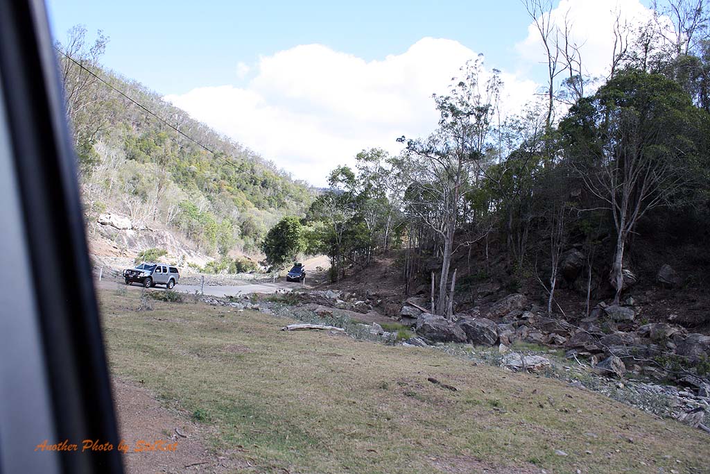
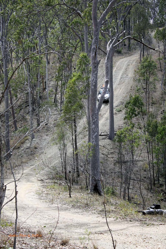
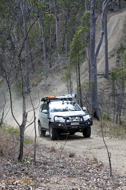
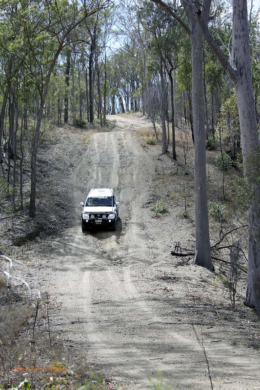
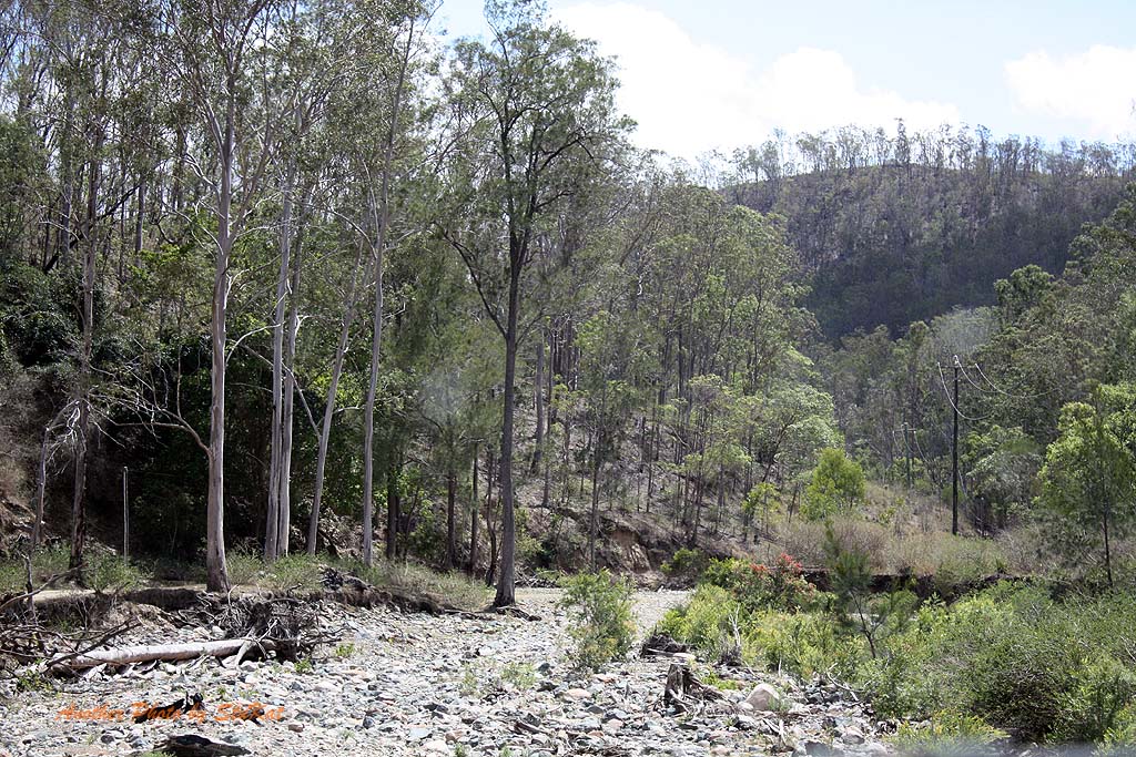
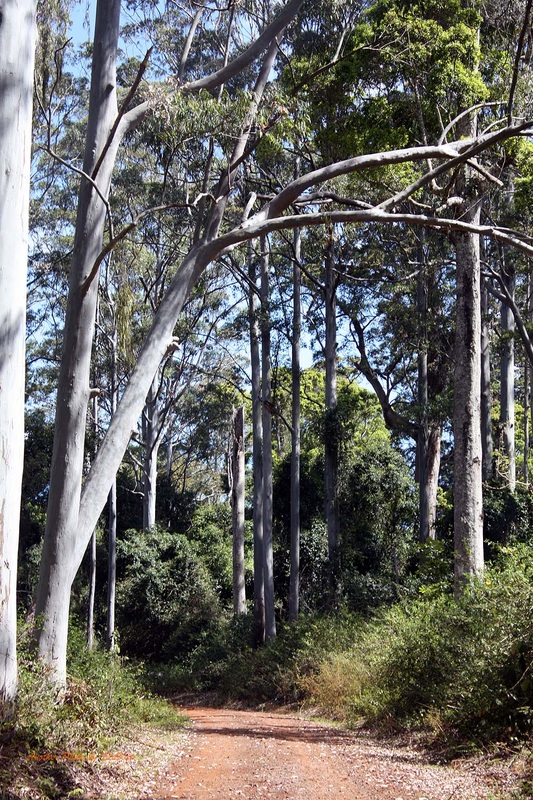
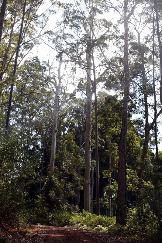
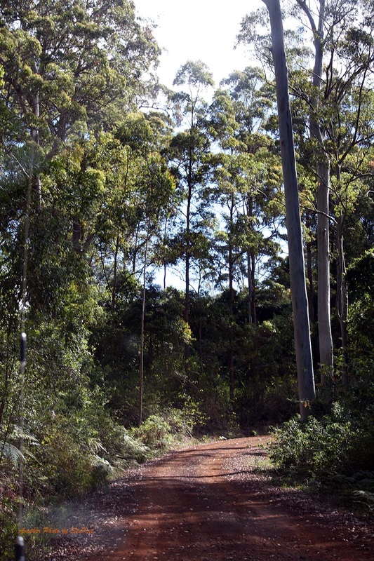
After a good look around we made our way North looking for the end of the blacktop and on toward Mount Stanley and Stanley Station where the road spits to an East and West Branch, each following the East and West branches of the Upper Brisbane River respectively. We veered right and took the Eastern Branch first where we were to cross the river over a dozen times, and again on the way back out.
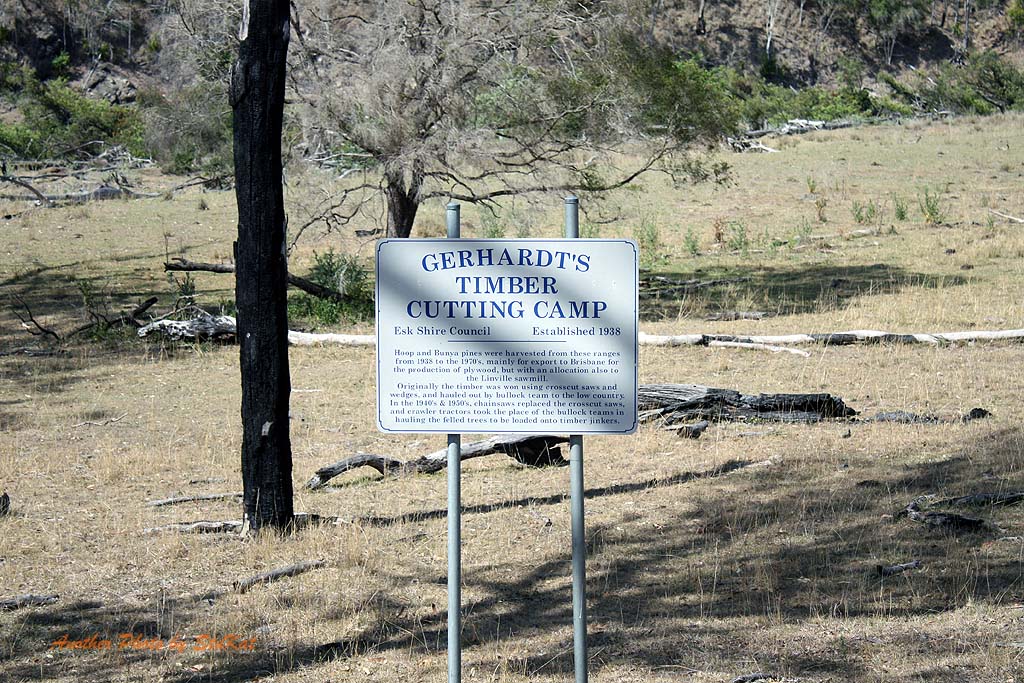
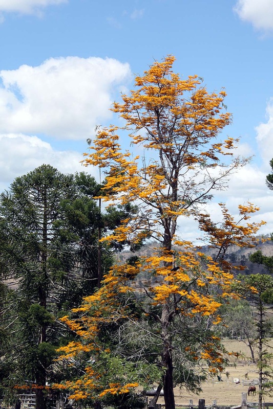
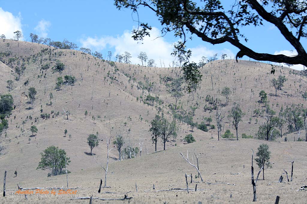
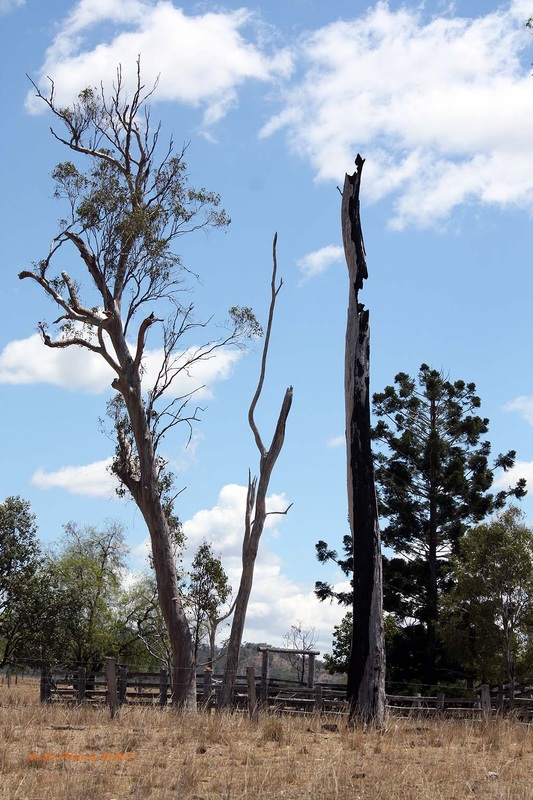
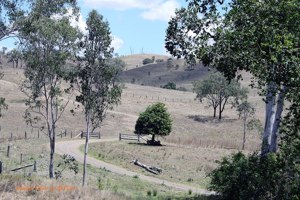
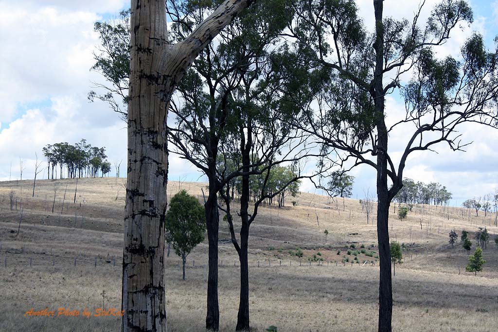
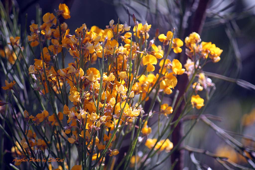
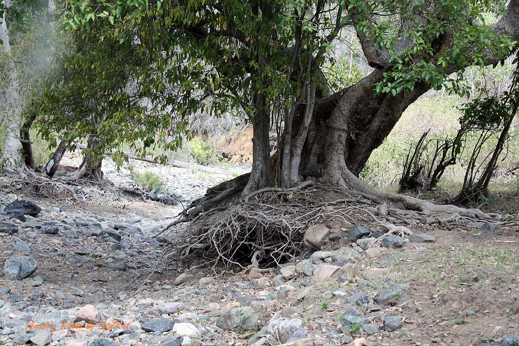
The lack of rain in this area was abundantly clear. The dry and dusty roads, the lack of green in the landscape, other than the trees & weeds, and the absolute absence of any flow in the river. There were sections of the river that still held water but all the concrete causeways were as dry as a bone. I would love to do this drive again after a week of rain and see the difference.
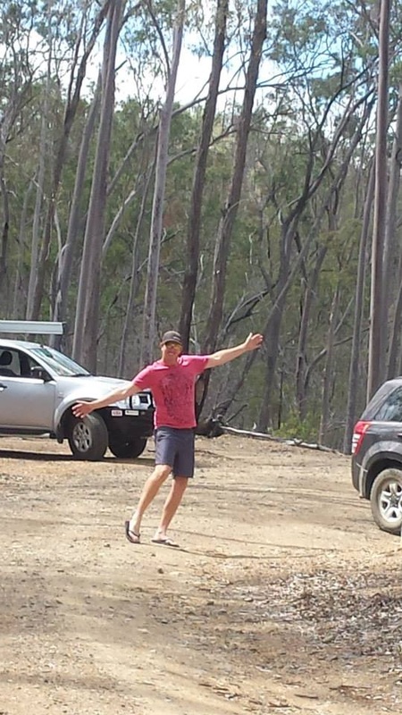
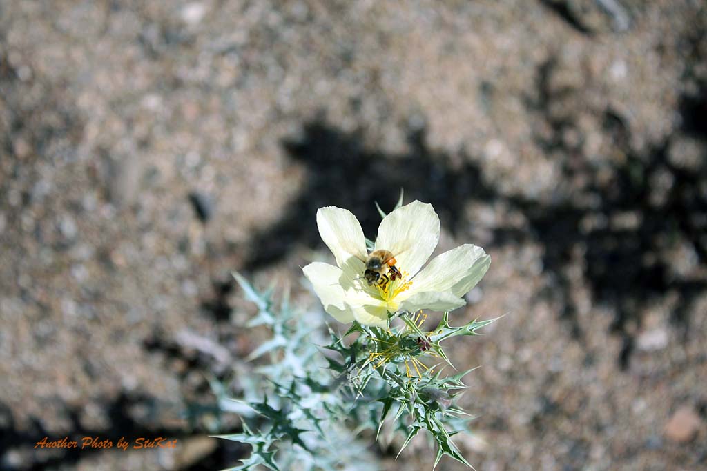
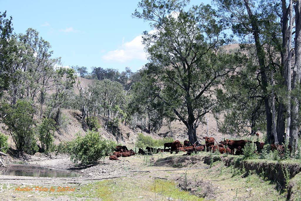
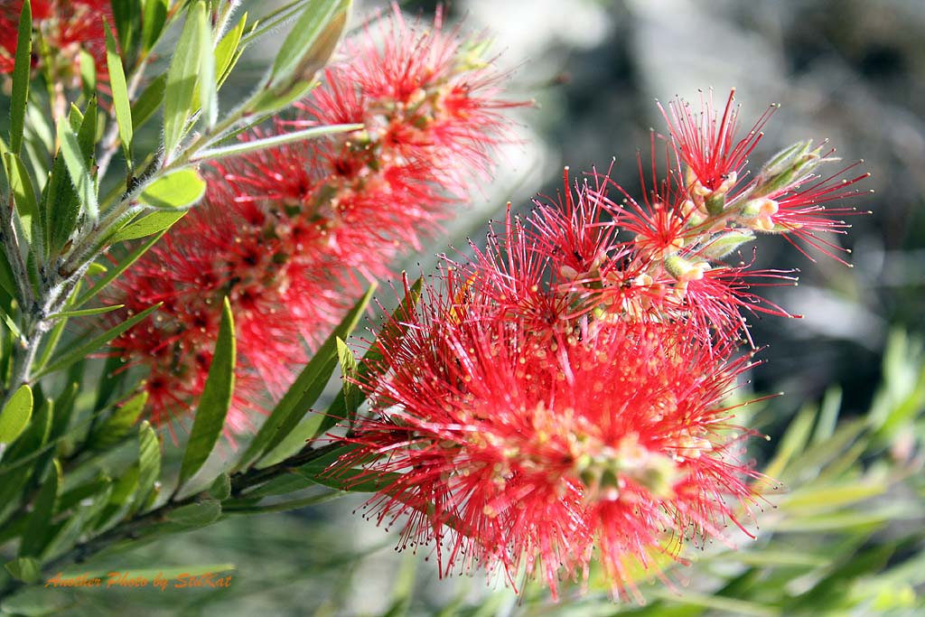
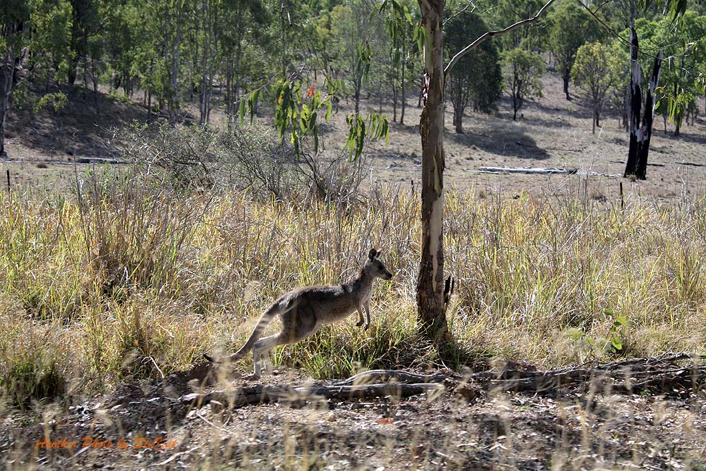
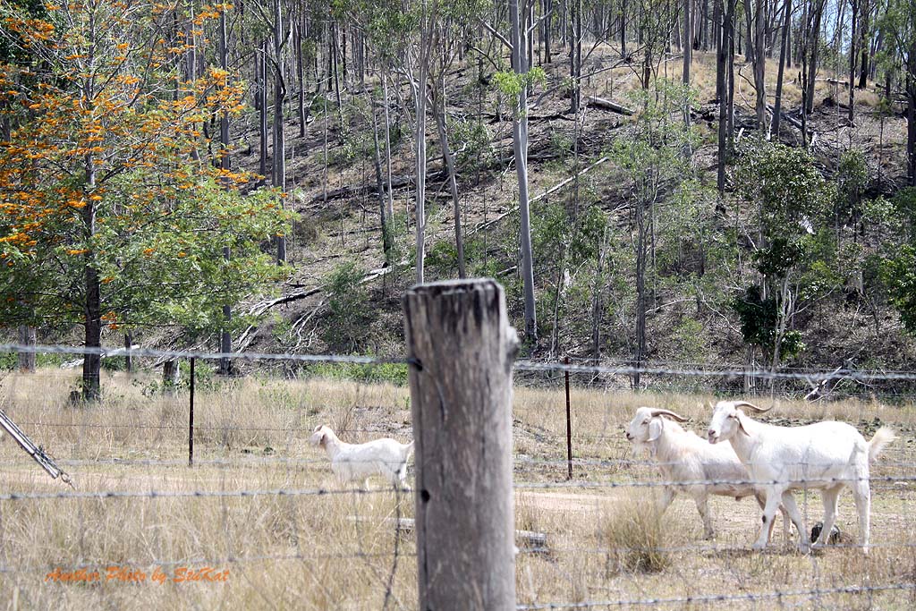
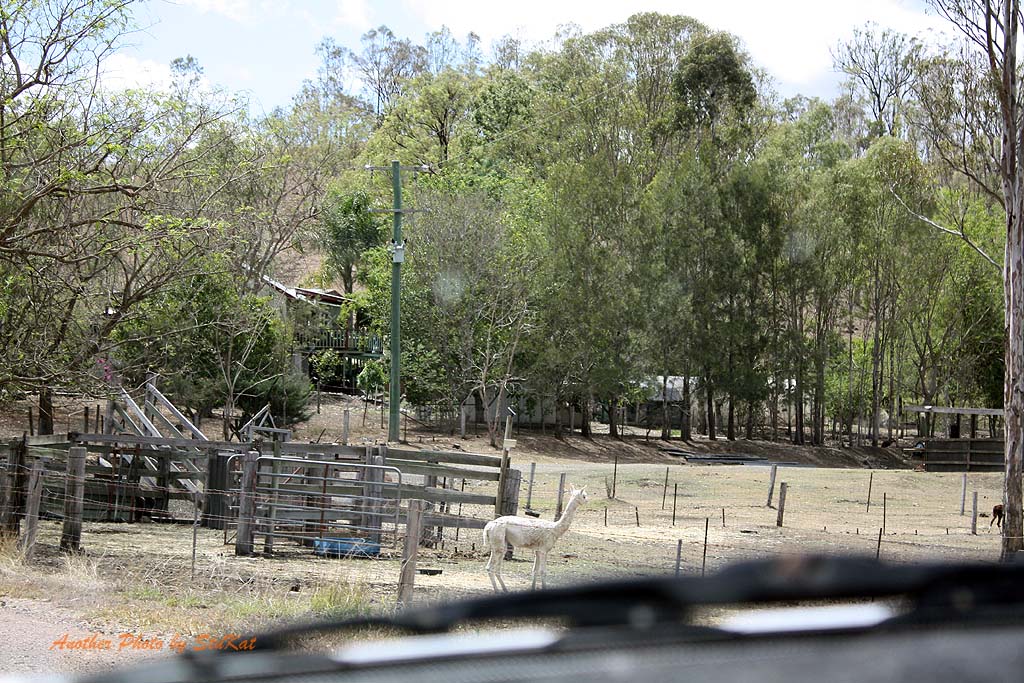
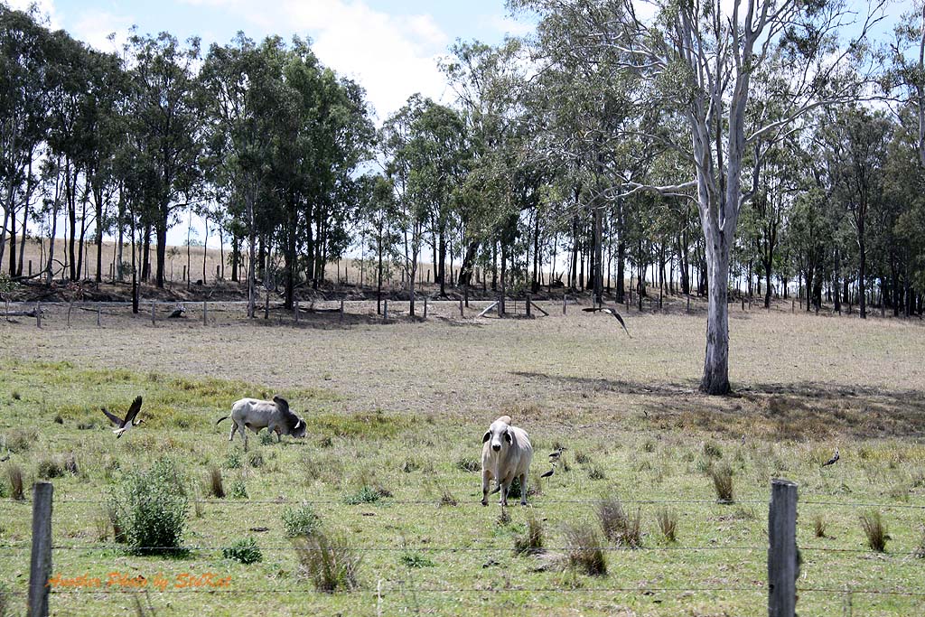
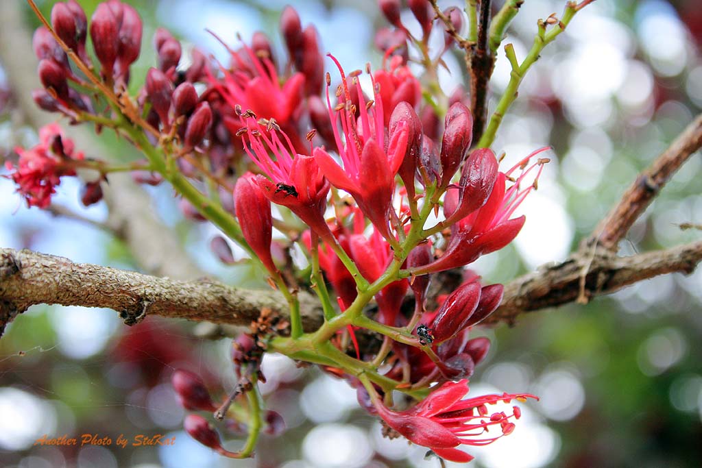
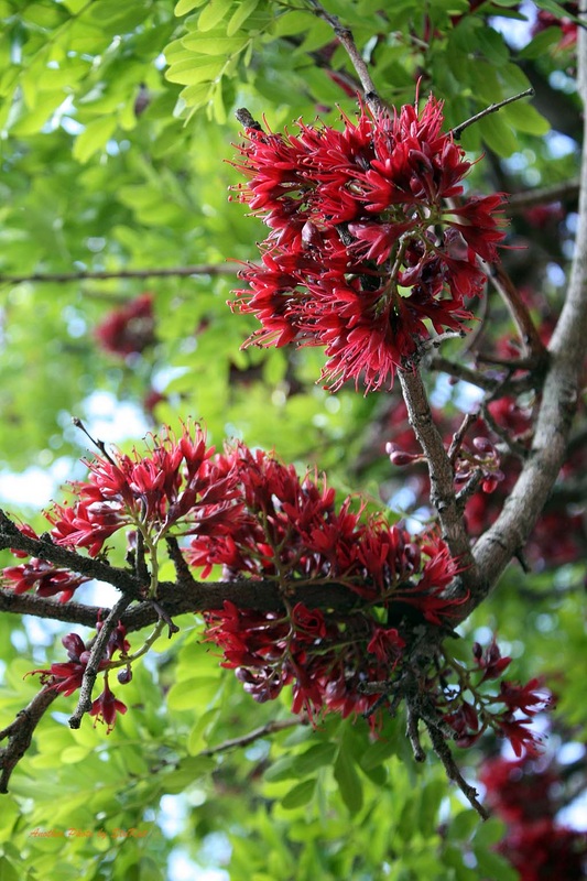
The amount of animal life we saw on and beside the road during the weekend, both wild and domestic, was amazing. This is all cattle country, so obviously we saw plenty of cattle, but even the variety of colours and breeds was amazing. We saw Kangaroos, Wallabies, Deer and a Goanna, and on Sunday we saw more Kangaroos & Wallabies, another Goanna, Sheep, Goats, Alpacas and even a Camel. Yes, you read that right, I said Camel. Kate thought she may have seen a wild pig as well.
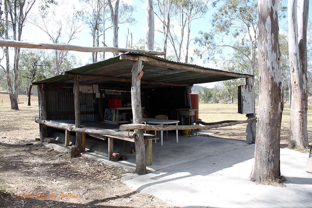
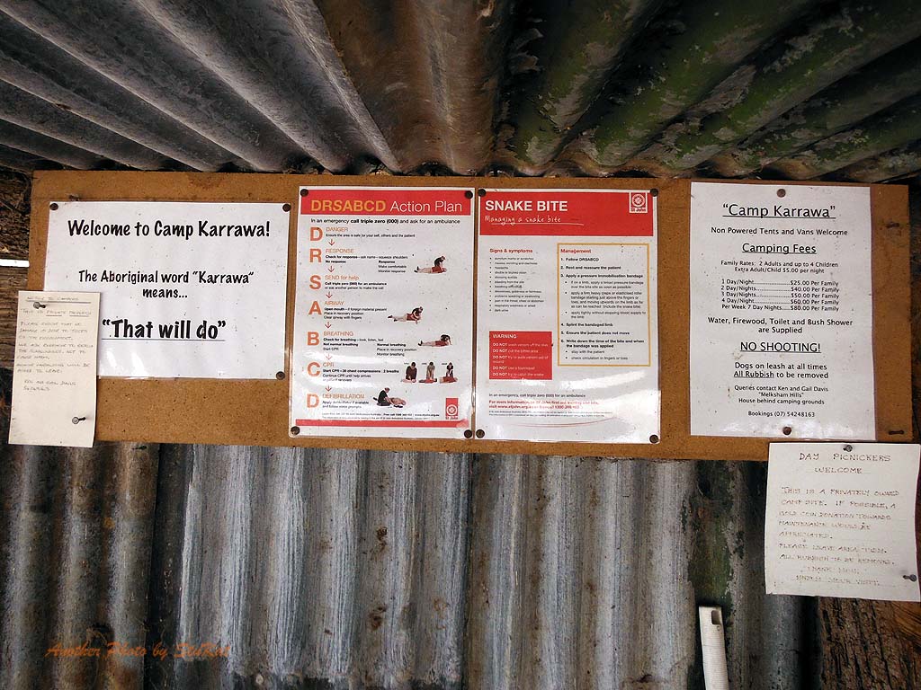
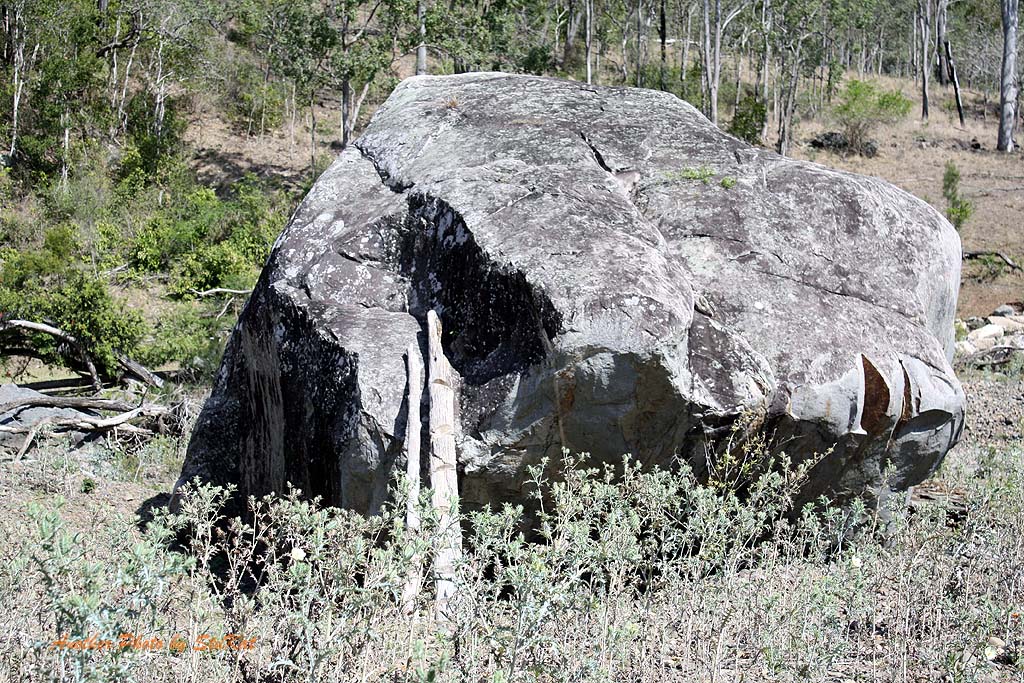
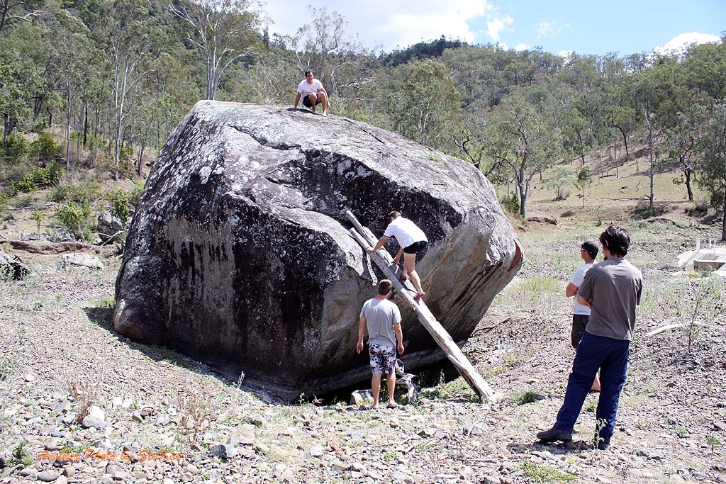
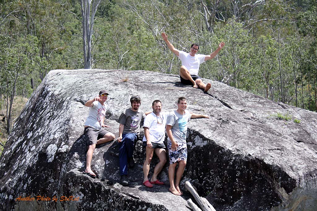
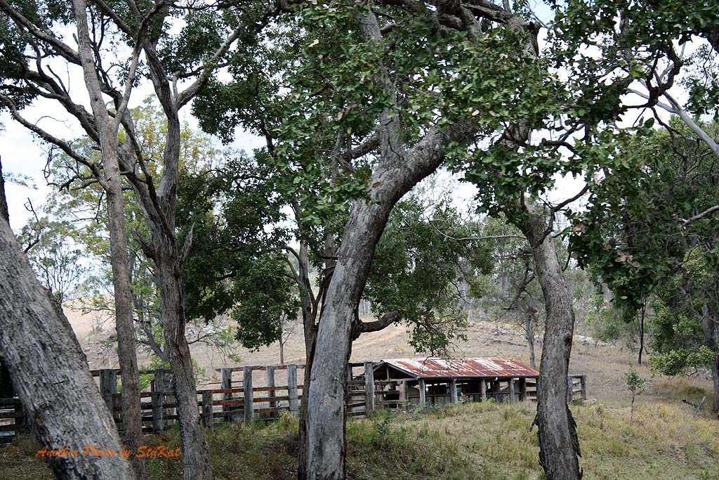
While on the Eastern Branch we stopped at a private camping area where a sign stated that Day Picnicers were welcome for a gold coin donation into the honesty box and there was also details on camping fees, some first aid info and an explanation of the name "Camp Karrawa". We had some morning tea here and of course, took more photos, and continued up the road for a while before turning around and heading back to the Western Branch turn off. We simply had to stop at a large boulder we had passed on the way in and do the boy thing and climb all over it.
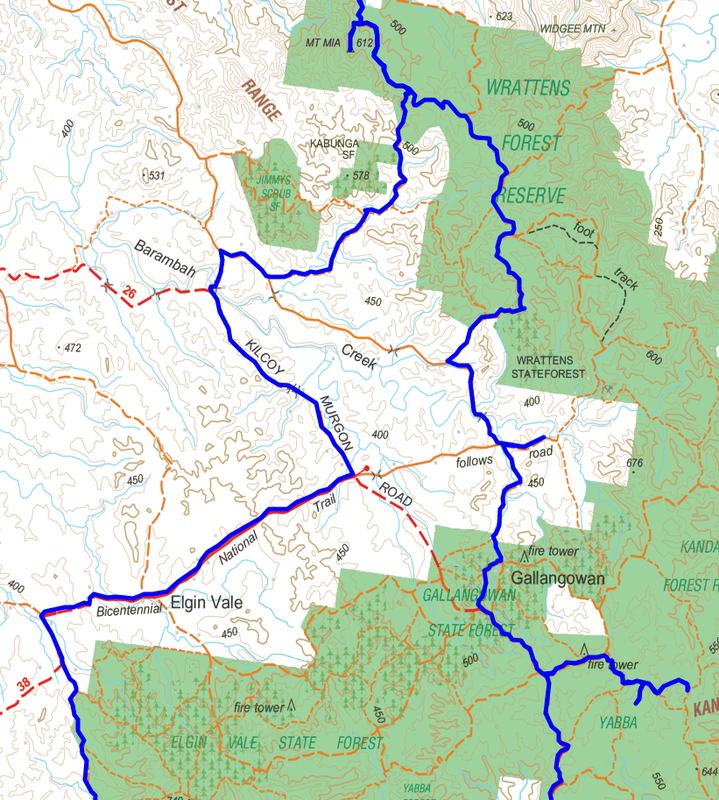
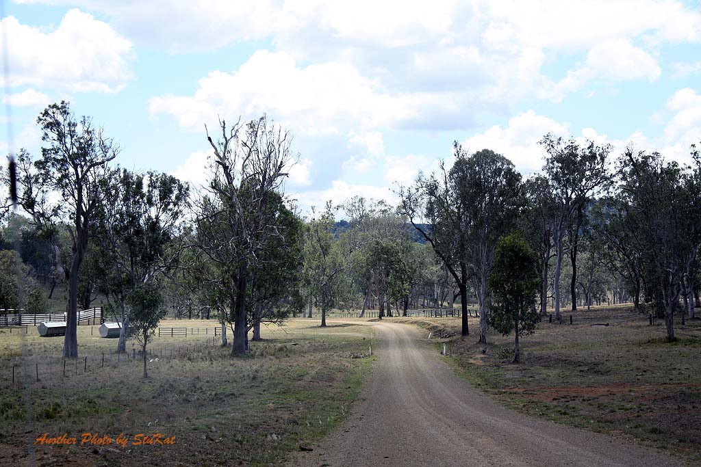
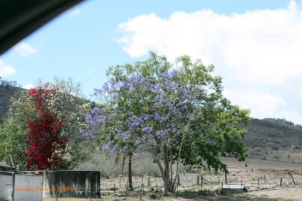
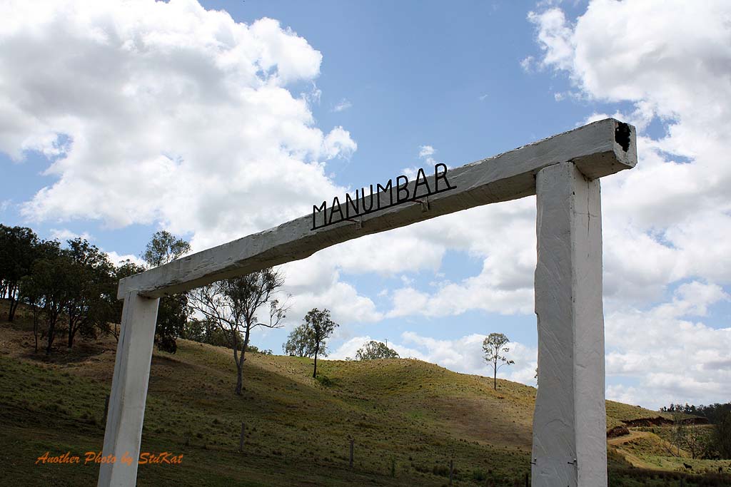
Back to the intersection and a right hand turn to travel up the Western side of Mount Stanley on the Western Branch Road. We were to cross the river many more times on this branch as well but alas, these too were dry as a bone. Despite the dryness of the area it still had it's charm and I for one, thoroughly enjoyed the scenery as I think most of us did. After a while we made a sharp right onto bitumen and drove through a spec called Elgin Vale. It was one of those "blink and you'll miss it" kind of places, although, it's actually a locality rather than a town.
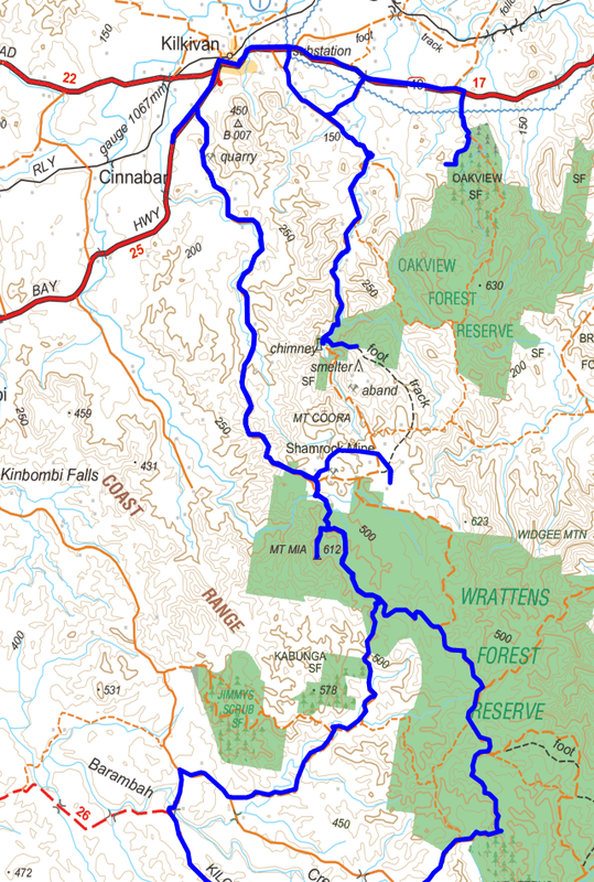
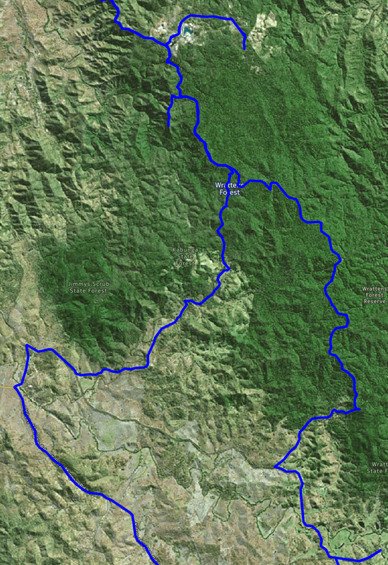
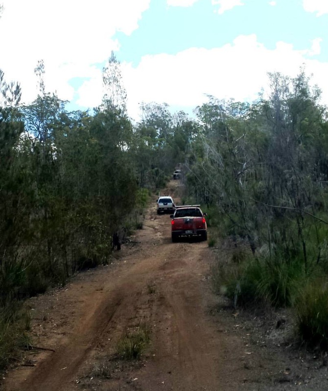
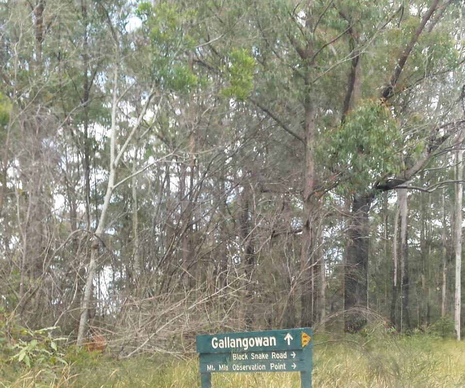
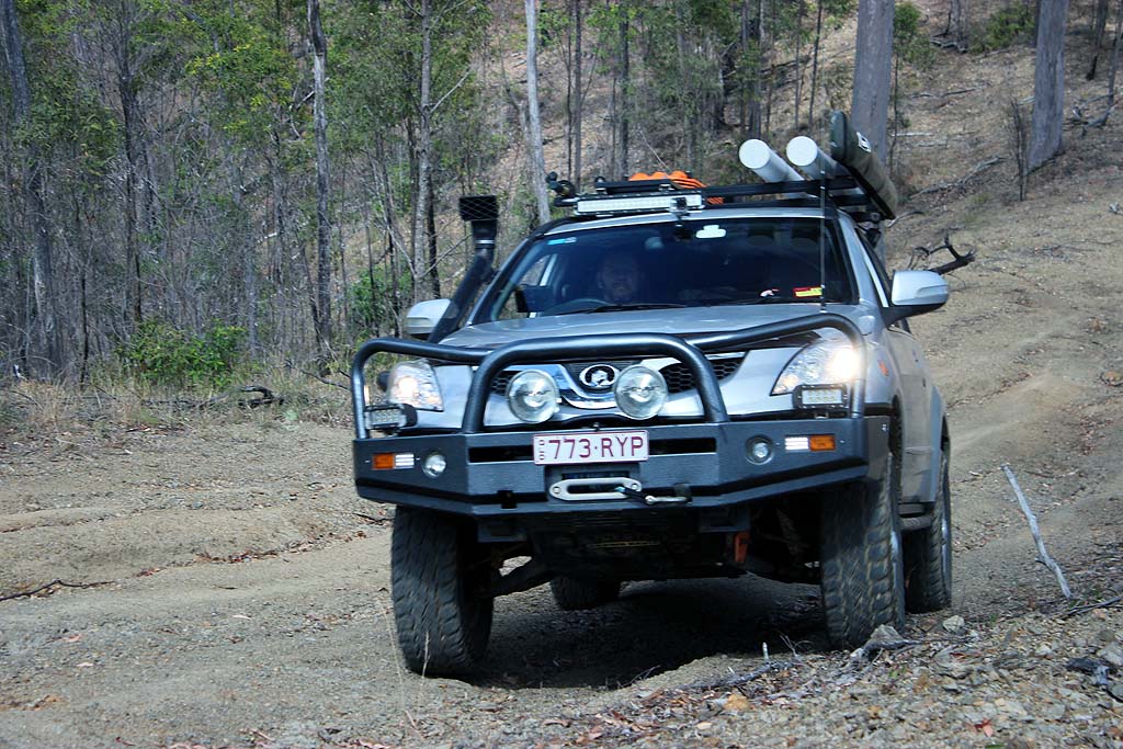
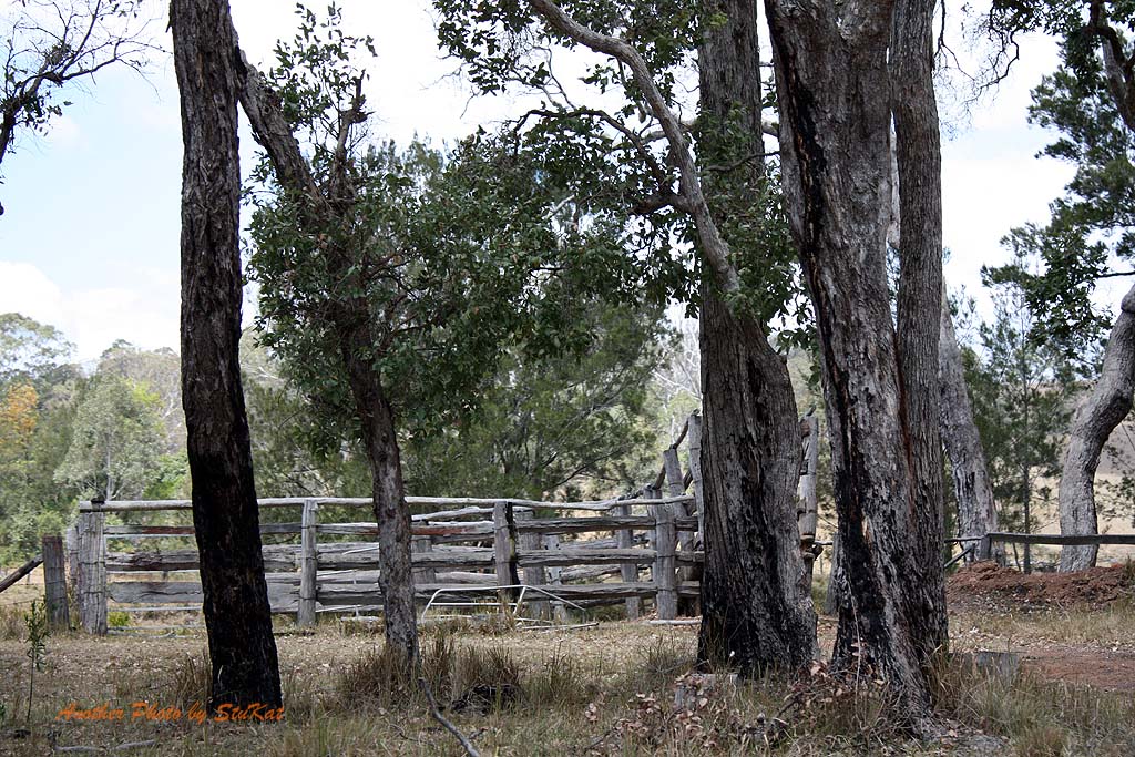
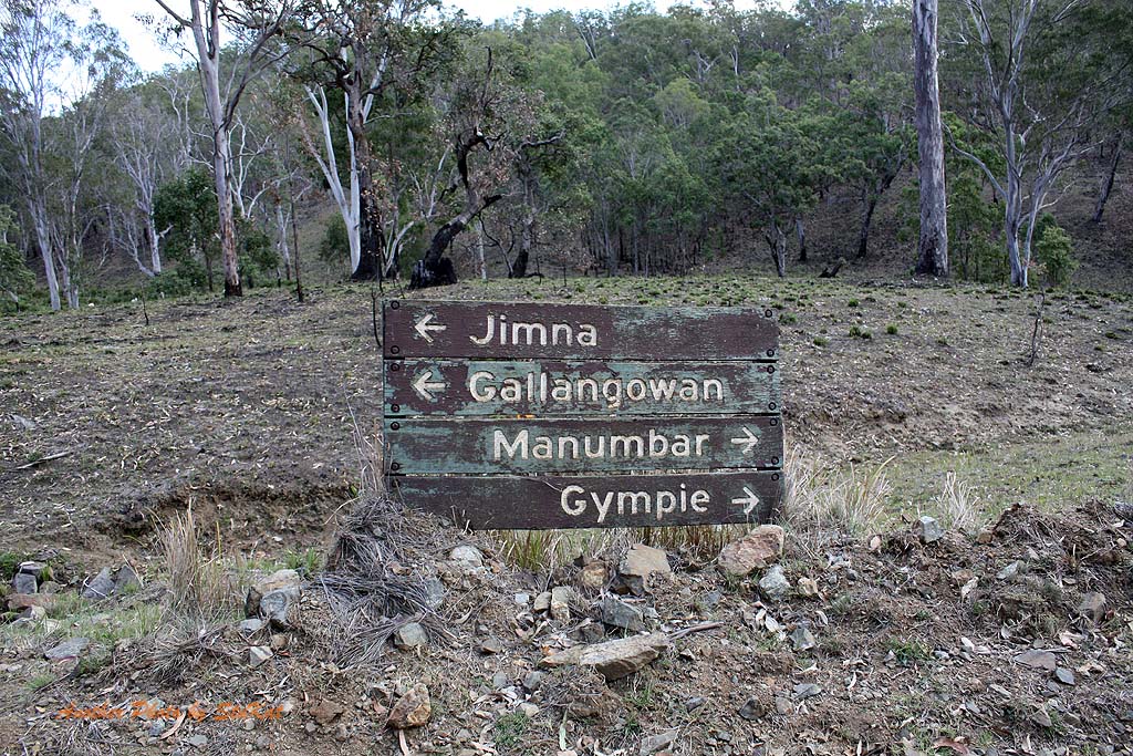
Before long we were off the beaten track again and following a path I had plotted based on a trip from a guide book but I had gone wrong somewhere and later discovered that although my path got us to certain spots, it was not the path we should have been on to get there. In a couple of spots we found that according to the Hema software, we were not on a road at all, despite the fact that it was a maintained gravel road and had a name. After a couple of dead ends and what looked to be private property, we had to abandon my chosen path and actually go back to what the book said to do, which was to follow Black Snake Road into Kilkivan.
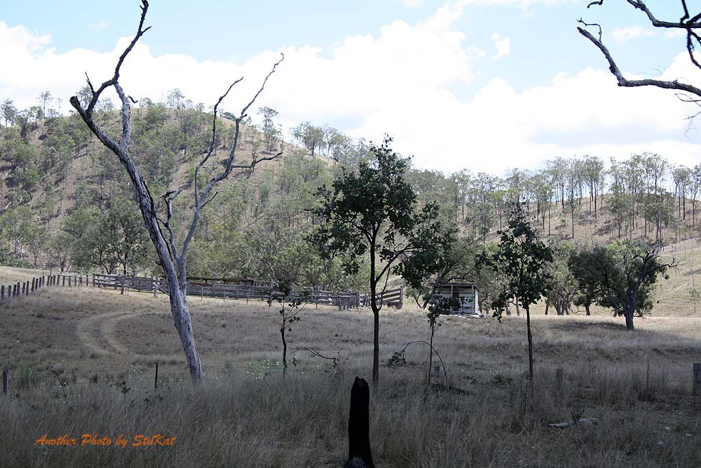
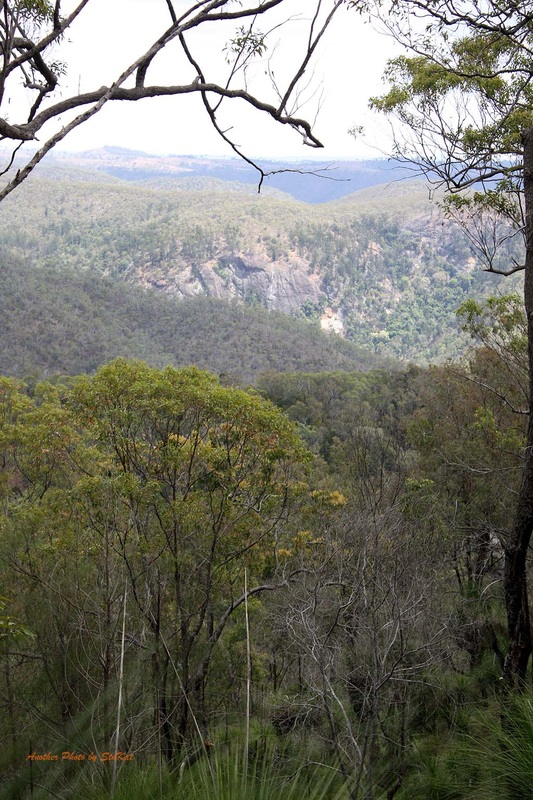
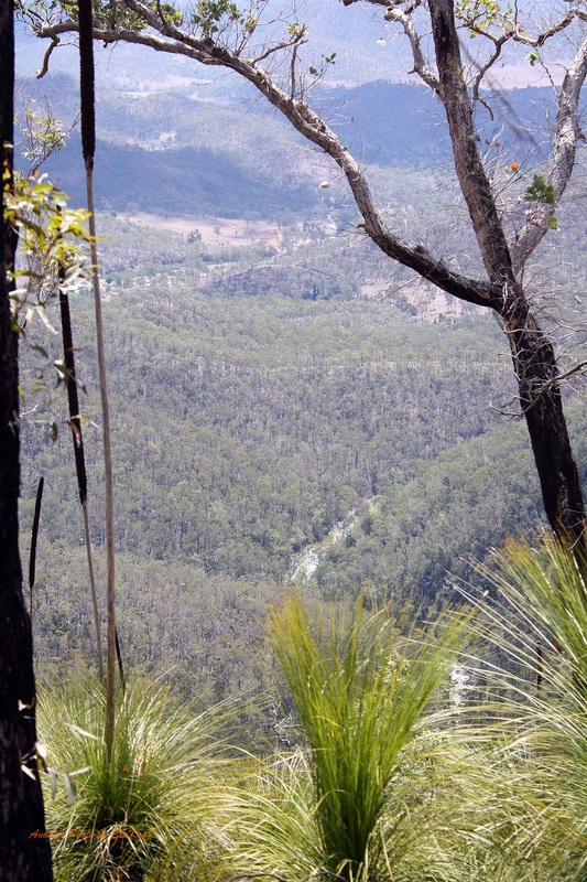
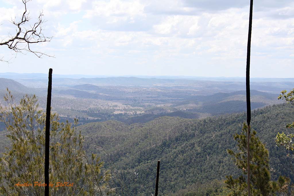
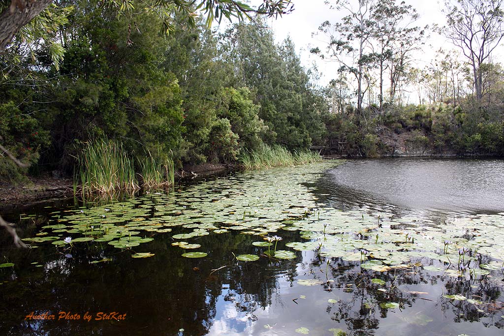
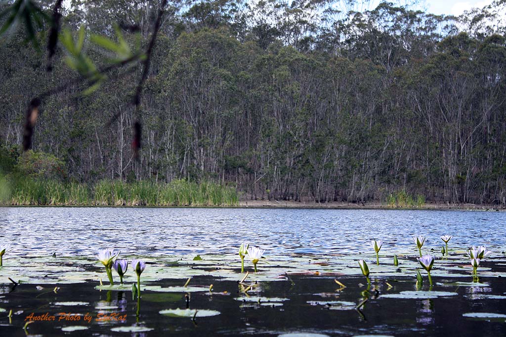
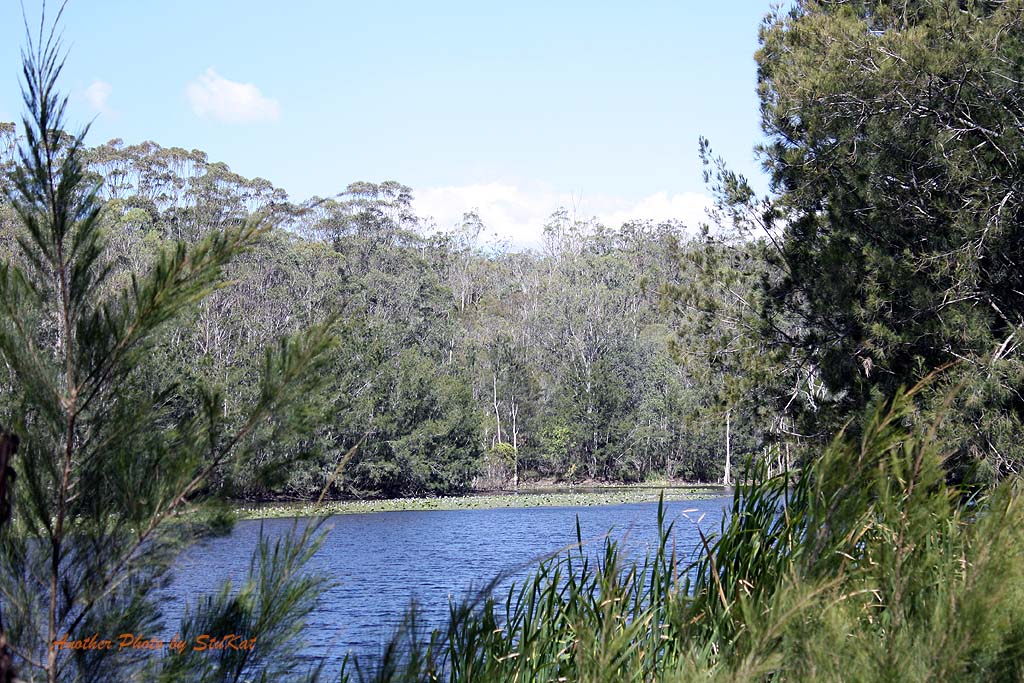
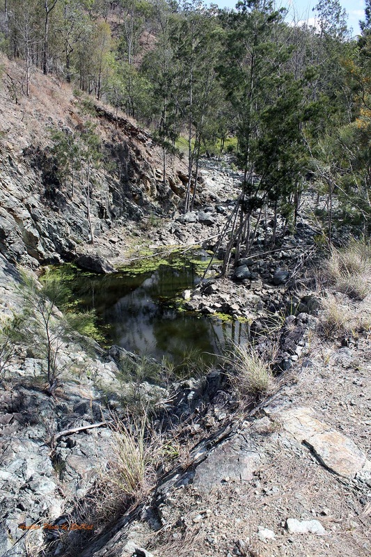
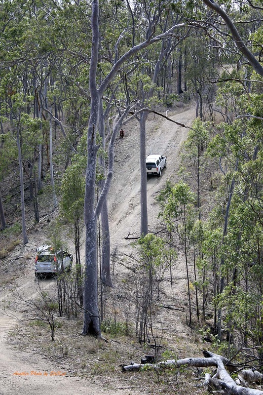
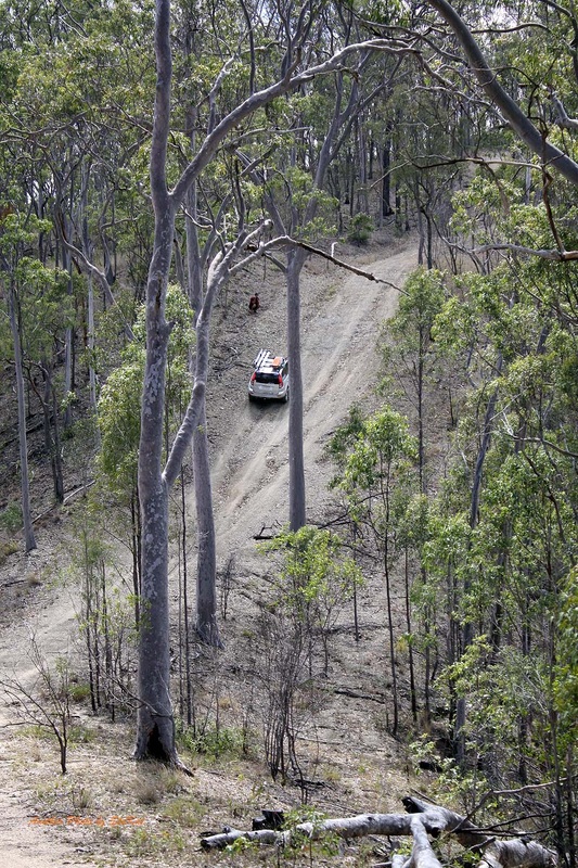
For me, I think the two most stand out things about the trip, were the almost 360 degree view from the Trig Station at the top of Mount Mia. Probably the roughest bit of track we had all weekend too, when compared with the basic gravel roads we'd had for most of the weekend. The other being a very picturesque little Dam not far from the Shamrock Mine. These two places were reached not long before hitting the bitumen section of Black Snake Road. We arrived at our chosen campsite, Kilkivan Bush Camping, at about 4ish in the afternoon and checked in.
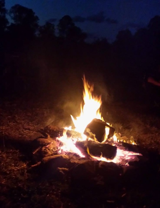
Kate and I booked a camping hut, basically a shed with beds, "bring your own linen" deal but I regretted doing that later. While I thought it would save us the trouble of carting extra gear, I kind of felt a bit left out by not setting up camp with the group. In this camping area, there was a place big enough for us all to camp together, unlike other places I've been. Dan built a ripper of a campfire and we all sat around it, taking turns getting some smoke and embers in our faces as the wind changed, and told bad jokes. Oh wait! No, that was just me.
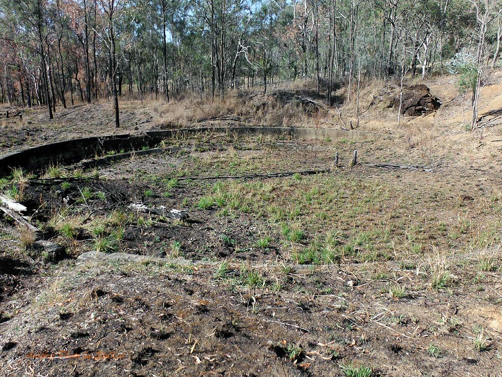
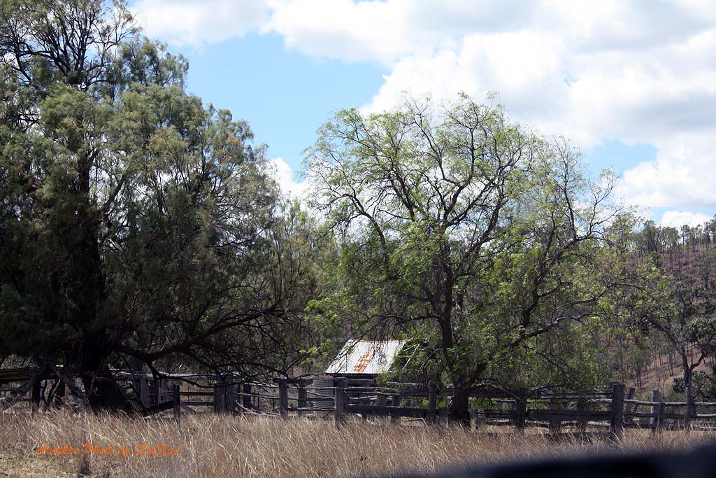
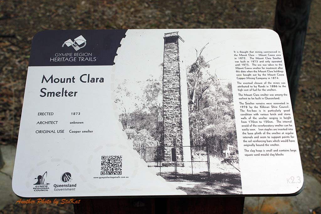
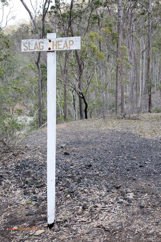
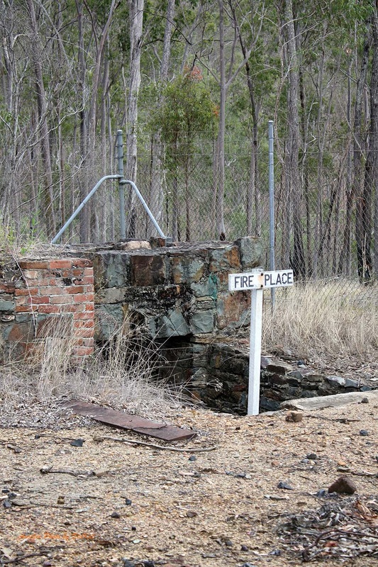
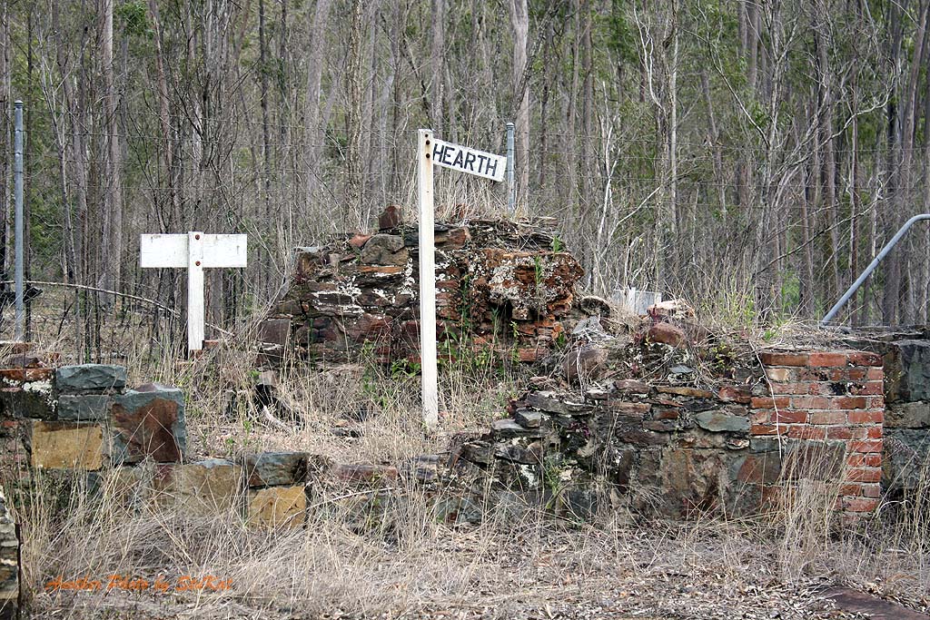
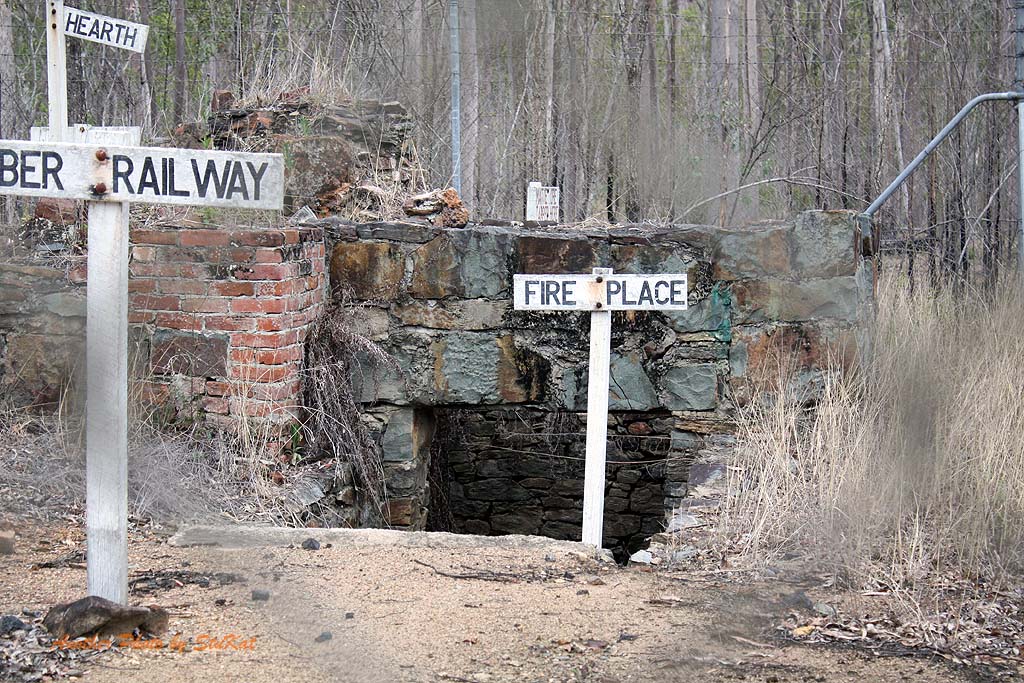
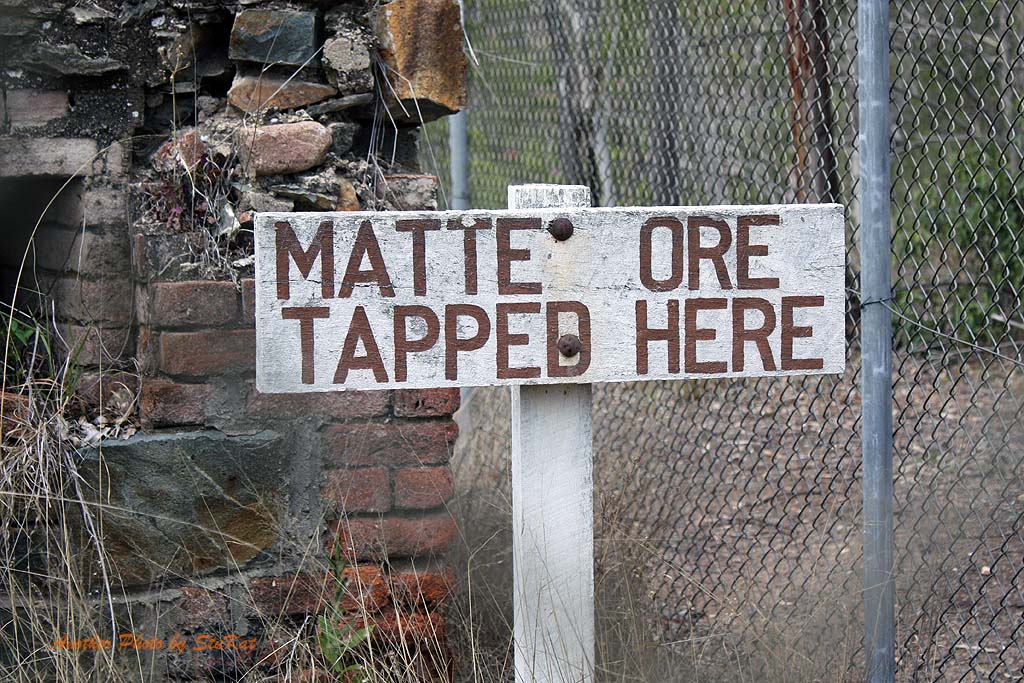
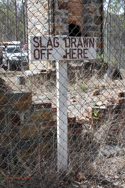
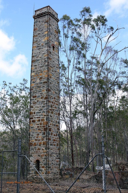
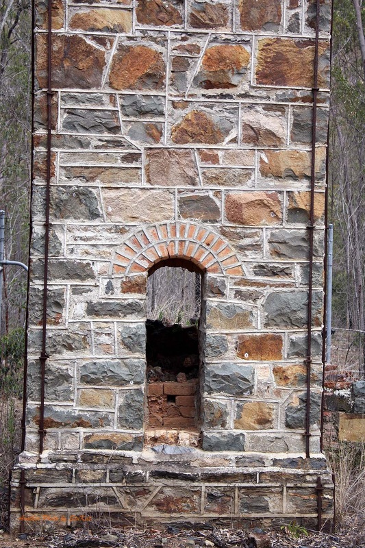
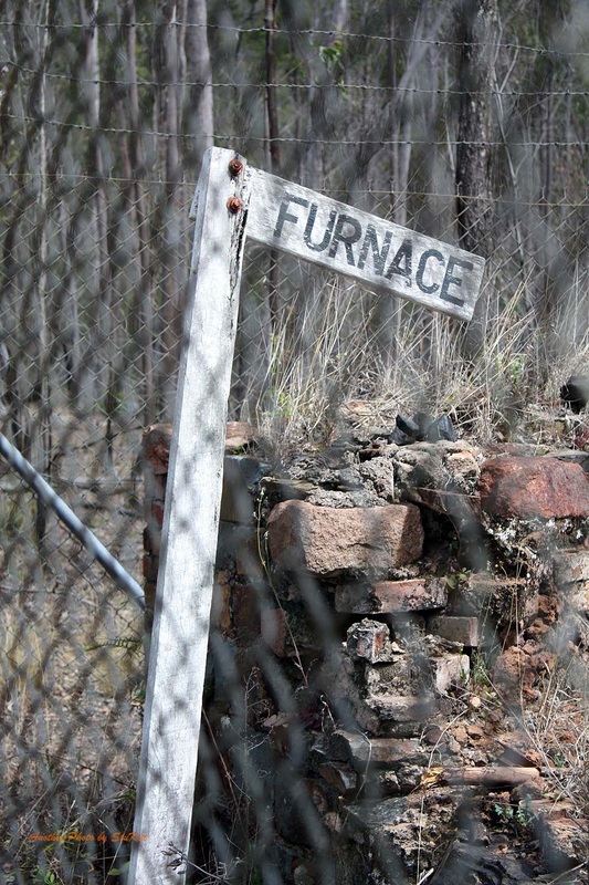
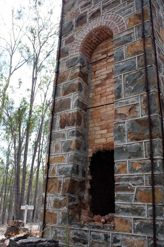
In the morning, after everyone had eaten and packed up, we took a group shot and then drove into Kilkivan for phone reception and treats from the shop before heading back down the road past camp to see another piece of History, the remains of an old copper smelter. More happy snaps and then a bit of local exploration on a hill that just kept going up... and up... and, you get the point. We set off in search of my proposed route South, only to be thwarted again by the inaccuracy of the Hema Map. By inaccuracy I basically mean, out of date. The track in question was now behind locked gates, unmaintained, and grown over according to the lease owner of the land we were on.
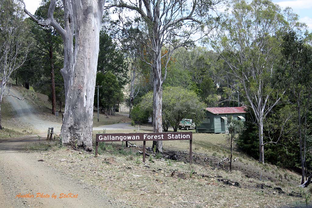
We opted to head back the way we had come into Kilkivan in the first place, via Black Snake Road. At least until we could eventually get back onto my proposed route this way. I had stated in the event description on facebook that Sunday would be e little bit "play it by ear" and it definitely was. Sunday's plan was thrown out of kilter by delays from dead ends first up and by the tracks I was hoping to access being signed as private. A road we ended up on took us through Gallangowan Forest Station. It was a pretty little spot and while I was talking to a ranger about the area, the group found a great little spot just around the corner to stop for Lunch.
I had planned on us being a lot further South by lunch time but, it didn't happen. We headed South again in search of my plotted path and at one point we ended up on a Path familiar to Dan and I from another trip we had done in the past and, were it not for the plan to end up back in Kilcoy at the end of the day, I would have stayed on it as I know it's a great track. In the finish, we ended up just heading back on to Kilcoy-Murgon Road and heading back to Kilcoy as time was getting away from us.
Dan and Trent and Kate and myself went into the Peach Trees Camping area, where I was hoping to have been for lunch, and had a bit of a look. I will definitely be camping there some time in the future. I think it would be a great spot to just go and vegetate for a weekend. Kate and I were the last to leave and we were back into Kilcoy by 4.55pm and about 2 hours behind schedule but hey, it's hard to keep to a scedule when part of the trip involved some "play it by ear" sections. All in all it was a successful trip and I think everyone had a great time.
If you would like to make any comments about this trip report or ask any questions, please go to the "blog" page and post your questions or comments in the "Trip Comments" category. I hope you enjoyed the read and the photo galleries below. Also, for your viewing pleasure, here is a 10 minute video compilation of our weekend trip; https://www.youtube.com/watch?v=Y-PTrtJVt0c
A few zoomed in sections of the track/route. (Click to enlarge and read captions, if any)
HEMA App Track Stats:
Kilcoy to Kilkivan track distance - 211kms.
Kilkivan to Kilcoy via alternate return route track distance - only 171kms recorded. (GPS problems)
Our meeting point was at Yowie Park in the South East Queensland town of Kilcoy where some of us were meeting for the first time, and others were catching up. After introductions were made and a briefing on convoy rules we set off toward the town of Moore where we would leave the D'Aguilar Highway and turn North toward Linville for our first stop.
There were 6 vehicles in our troop with one of them leaving us that afternoon and another joining us in the morning. We had a total of 8 people split between the 6 cars each day. Arriving in the town of Linville, an old Cobb & Co Coach stop in the early days and eventually a rail spur for logging endeavours, we pulled up to have a look at the old Railway Station and grab a few snapshots. (see gallery below)
After a good look around we made our way North looking for the end of the blacktop and on toward Mount Stanley and Stanley Station where the road spits to an East and West Branch, each following the East and West branches of the Upper Brisbane River respectively. We veered right and took the Eastern Branch first where we were to cross the river over a dozen times, and again on the way back out.
The lack of rain in this area was abundantly clear. The dry and dusty roads, the lack of green in the landscape, other than the trees & weeds, and the absolute absence of any flow in the river. There were sections of the river that still held water but all the concrete causeways were as dry as a bone. I would love to do this drive again after a week of rain and see the difference.
The amount of animal life we saw on and beside the road during the weekend, both wild and domestic, was amazing. This is all cattle country, so obviously we saw plenty of cattle, but even the variety of colours and breeds was amazing. We saw Kangaroos, Wallabies, Deer and a Goanna, and on Sunday we saw more Kangaroos & Wallabies, another Goanna, Sheep, Goats, Alpacas and even a Camel. Yes, you read that right, I said Camel. Kate thought she may have seen a wild pig as well.
While on the Eastern Branch we stopped at a private camping area where a sign stated that Day Picnicers were welcome for a gold coin donation into the honesty box and there was also details on camping fees, some first aid info and an explanation of the name "Camp Karrawa". We had some morning tea here and of course, took more photos, and continued up the road for a while before turning around and heading back to the Western Branch turn off. We simply had to stop at a large boulder we had passed on the way in and do the boy thing and climb all over it.
Back to the intersection and a right hand turn to travel up the Western side of Mount Stanley on the Western Branch Road. We were to cross the river many more times on this branch as well but alas, these too were dry as a bone. Despite the dryness of the area it still had it's charm and I for one, thoroughly enjoyed the scenery as I think most of us did. After a while we made a sharp right onto bitumen and drove through a spec called Elgin Vale. It was one of those "blink and you'll miss it" kind of places, although, it's actually a locality rather than a town.
Before long we were off the beaten track again and following a path I had plotted based on a trip from a guide book but I had gone wrong somewhere and later discovered that although my path got us to certain spots, it was not the path we should have been on to get there. In a couple of spots we found that according to the Hema software, we were not on a road at all, despite the fact that it was a maintained gravel road and had a name. After a couple of dead ends and what looked to be private property, we had to abandon my chosen path and actually go back to what the book said to do, which was to follow Black Snake Road into Kilkivan.
For me, I think the two most stand out things about the trip, were the almost 360 degree view from the Trig Station at the top of Mount Mia. Probably the roughest bit of track we had all weekend too, when compared with the basic gravel roads we'd had for most of the weekend. The other being a very picturesque little Dam not far from the Shamrock Mine. These two places were reached not long before hitting the bitumen section of Black Snake Road. We arrived at our chosen campsite, Kilkivan Bush Camping, at about 4ish in the afternoon and checked in.
Kate and I booked a camping hut, basically a shed with beds, "bring your own linen" deal but I regretted doing that later. While I thought it would save us the trouble of carting extra gear, I kind of felt a bit left out by not setting up camp with the group. In this camping area, there was a place big enough for us all to camp together, unlike other places I've been. Dan built a ripper of a campfire and we all sat around it, taking turns getting some smoke and embers in our faces as the wind changed, and told bad jokes. Oh wait! No, that was just me.
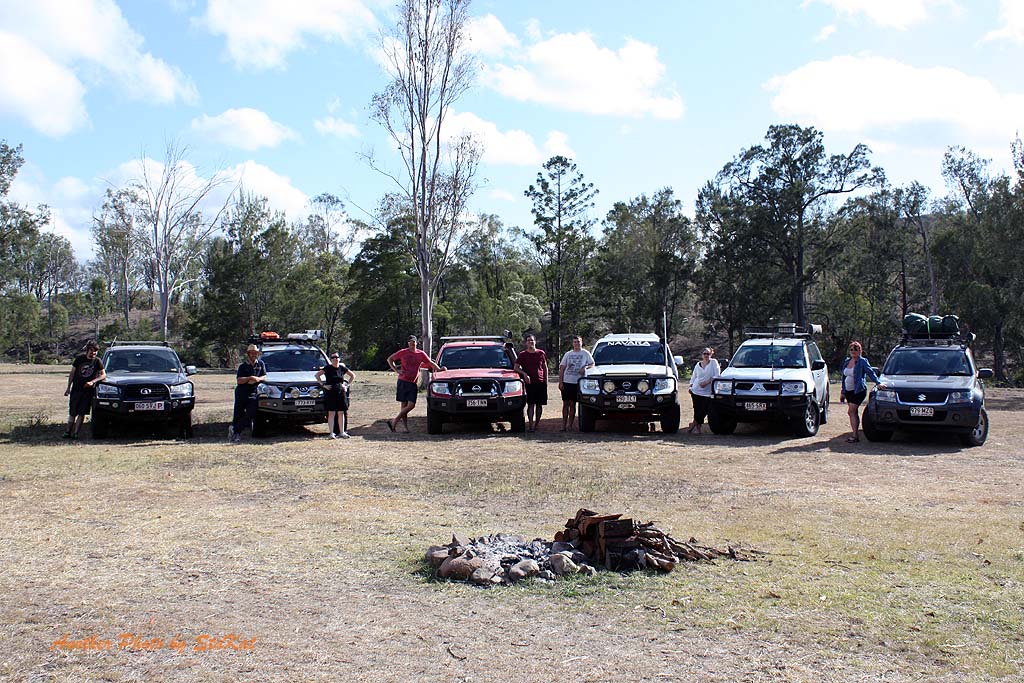
In the morning, after everyone had eaten and packed up, we took a group shot and then drove into Kilkivan for phone reception and treats from the shop before heading back down the road past camp to see another piece of History, the remains of an old copper smelter. More happy snaps and then a bit of local exploration on a hill that just kept going up... and up... and, you get the point. We set off in search of my proposed route South, only to be thwarted again by the inaccuracy of the Hema Map. By inaccuracy I basically mean, out of date. The track in question was now behind locked gates, unmaintained, and grown over according to the lease owner of the land we were on.
We opted to head back the way we had come into Kilkivan in the first place, via Black Snake Road. At least until we could eventually get back onto my proposed route this way. I had stated in the event description on facebook that Sunday would be e little bit "play it by ear" and it definitely was. Sunday's plan was thrown out of kilter by delays from dead ends first up and by the tracks I was hoping to access being signed as private. A road we ended up on took us through Gallangowan Forest Station. It was a pretty little spot and while I was talking to a ranger about the area, the group found a great little spot just around the corner to stop for Lunch.
I had planned on us being a lot further South by lunch time but, it didn't happen. We headed South again in search of my plotted path and at one point we ended up on a Path familiar to Dan and I from another trip we had done in the past and, were it not for the plan to end up back in Kilcoy at the end of the day, I would have stayed on it as I know it's a great track. In the finish, we ended up just heading back on to Kilcoy-Murgon Road and heading back to Kilcoy as time was getting away from us.
Dan and Trent and Kate and myself went into the Peach Trees Camping area, where I was hoping to have been for lunch, and had a bit of a look. I will definitely be camping there some time in the future. I think it would be a great spot to just go and vegetate for a weekend. Kate and I were the last to leave and we were back into Kilcoy by 4.55pm and about 2 hours behind schedule but hey, it's hard to keep to a scedule when part of the trip involved some "play it by ear" sections. All in all it was a successful trip and I think everyone had a great time.
If you would like to make any comments about this trip report or ask any questions, please go to the "blog" page and post your questions or comments in the "Trip Comments" category. I hope you enjoyed the read and the photo galleries below. Also, for your viewing pleasure, here is a 10 minute video compilation of our weekend trip; https://www.youtube.com/watch?v=Y-PTrtJVt0c
A few zoomed in sections of the track/route. (Click to enlarge and read captions, if any)
Photos from Joanne
Thanks to Joanne for these photos. Great to get photos from someone else's perspective. I have only chosen a few of Joanne's shots that I didn't have myself.
Thanks to Joanne for these photos. Great to get photos from someone else's perspective. I have only chosen a few of Joanne's shots that I didn't have myself.


Photos from Brad & Dan
Thanks to Brad & Gavin for these photos. Thanks to Gavin for taking some great shots with Brad's camera too. (Click to enlarge and read captions, if any)
Thanks to Brad & Gavin for these photos. Thanks to Gavin for taking some great shots with Brad's camera too. (Click to enlarge and read captions, if any)


Some of Kate's photos. (Click to enlarge and read captions, if any)


All photos may be purchased for a nominal fee by going to the "shop" page and filling out the form. Please be sure to quote the image numbers exactly as they appear when you mouseover the image. eg; the last image above is "KK-L50". Fees and ordering instructions can be found on the shop page. Any and all profits from photo sales go toward prizes in the "SEQ Overnighters 4X4" facebook group.
- Back to trips | back to top|back to SEQ Overnighters 4X4 -
HOME | ABOUT/CONTACT | MY CAR | MODIFICATIONS | TRIPS | GALLERY | BLOG | LINKS
Updates | Mistakes & Regrets | Electrical | Rocksliders | Roof Accessories | The Drawers
All content ©Copyright Stuart Whitehouse 2014 - Unless otherwise stated.
Images on this site may be purchase by using the form on another site here. Simply take note of the image I.D number.
