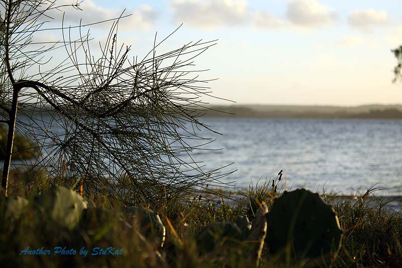
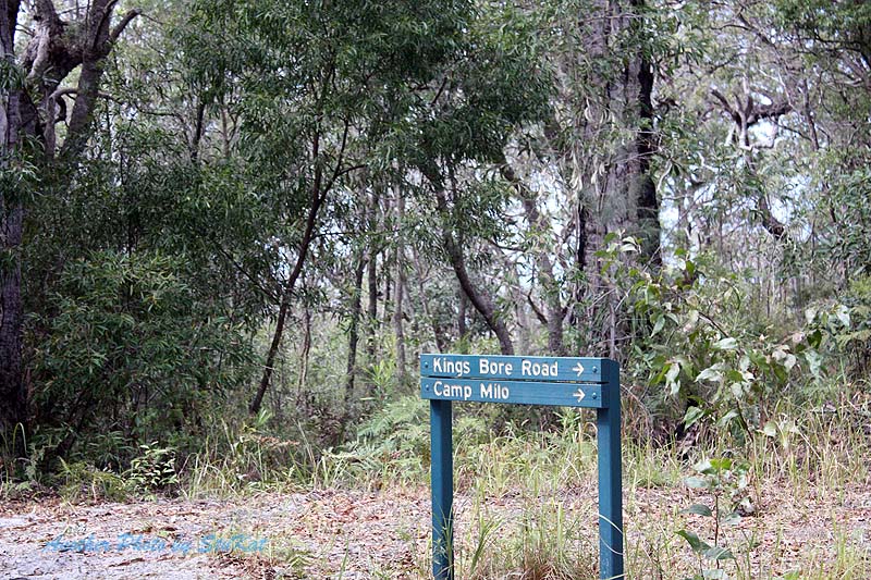
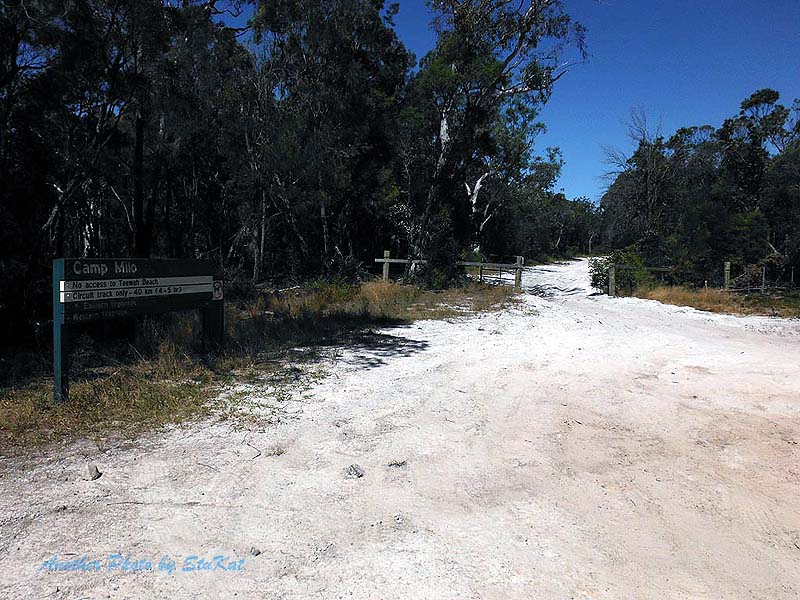
Header Image: Taken at the entry to Camp Milo, Just off Rainbow Beach Road.
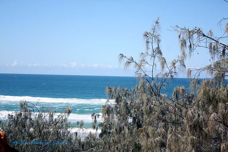
The Cooloola Coast
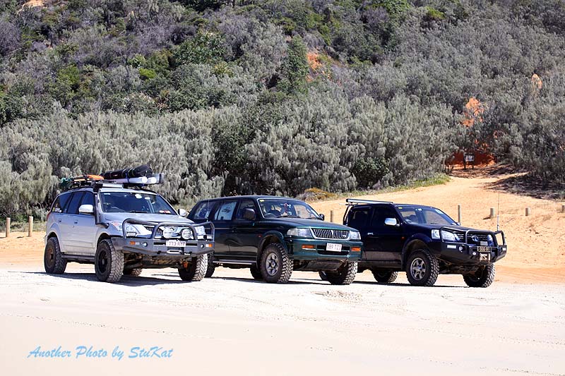
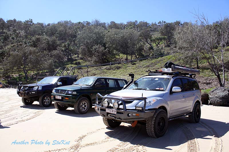
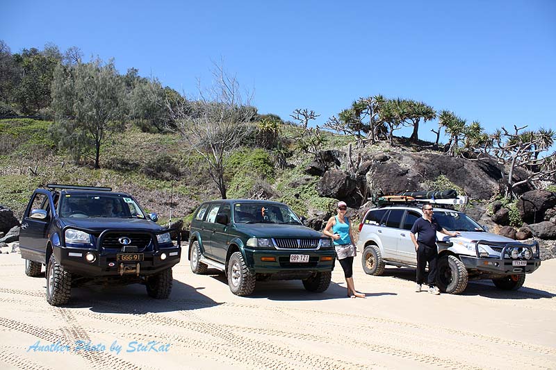
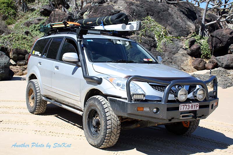
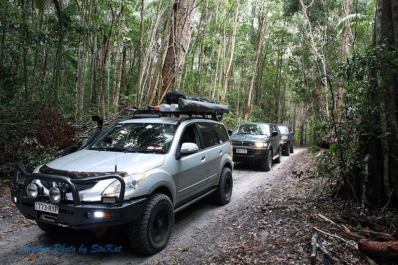
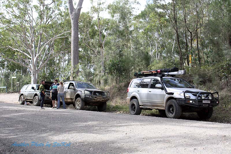
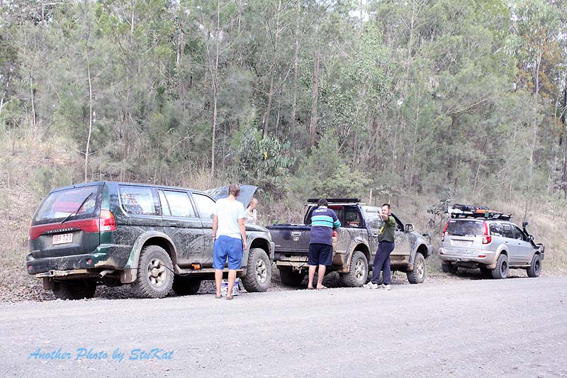
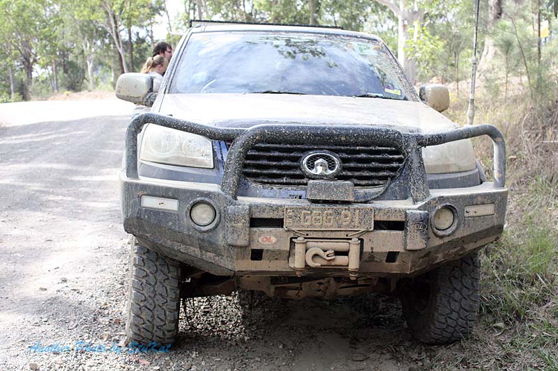
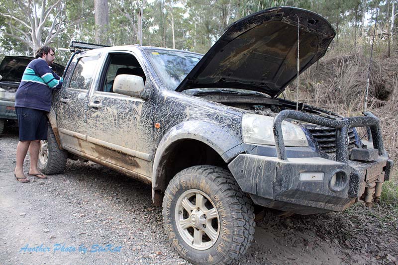
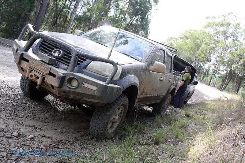
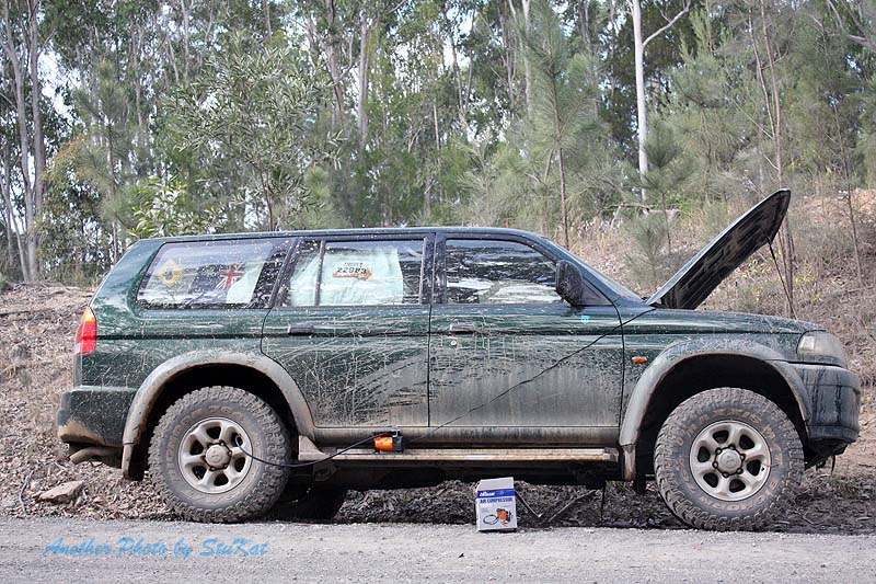
On this trip we had my wife and I in my X240, Jo Ana in her Mitsubishi Challenger, and Kingsley and his better half, Shenteal, in a Great Wall V200 diesel dual cab. All vehicles went very well and we had no breakdowns and none of us managed to get bogged.
 A screenshot from my iPad running the Hema App.
September 6th, 2014.
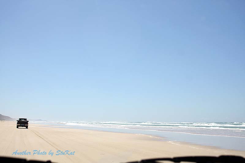
After meeting up with our travelling companions at the Ettamogah Pub we departed a little ahead of schedule and made our way up to Tewantin via the Sunshine Motorway. We had a pretty smooth run, despite it being a Saturday, and we arrived at Tewantin to catch the car ferry and found a bit of a queue. Both ferries were running so it wasn't a long wait.
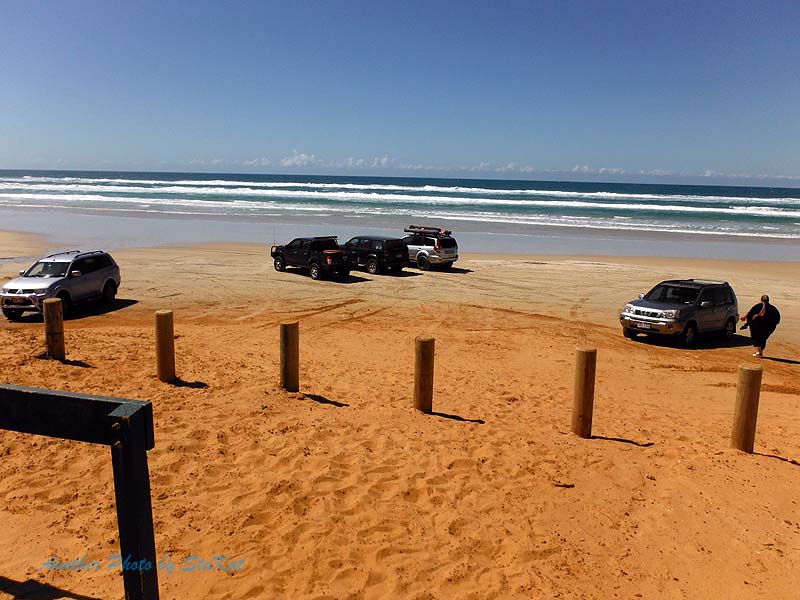
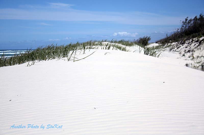
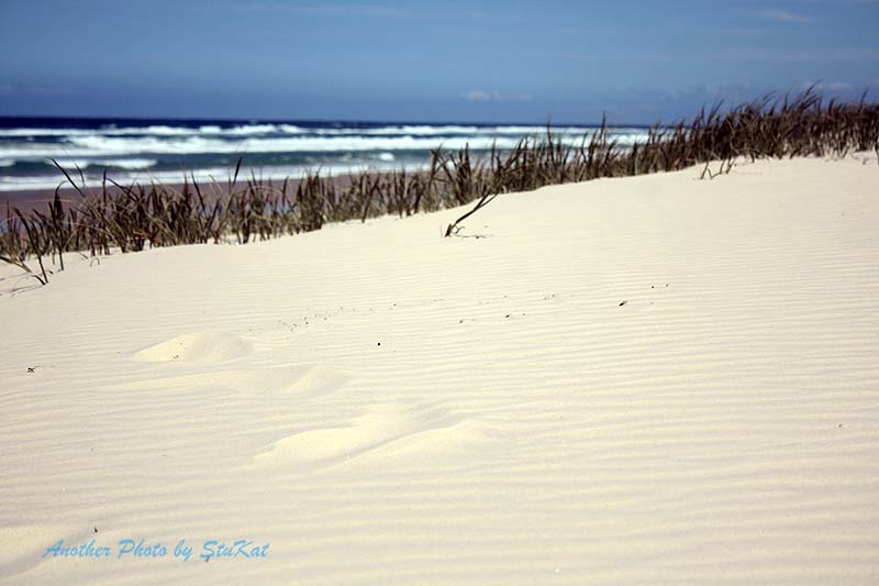
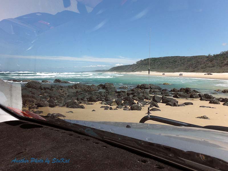
After crossing the Noosa River it's only a few more kilometres of bitumen before you hit the beach. A quick stop to air down and off we went. With very little soft sand to cross before hitting the hard wet stuff, many folk don't even bother to air down but we all preferred the boy scout motto of "Be Prepared" so, out with some air!
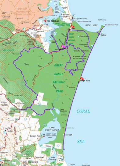
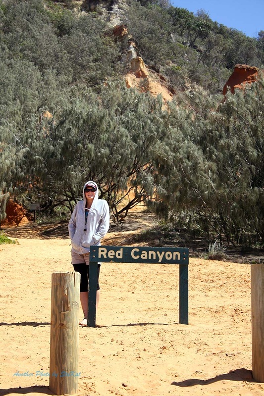
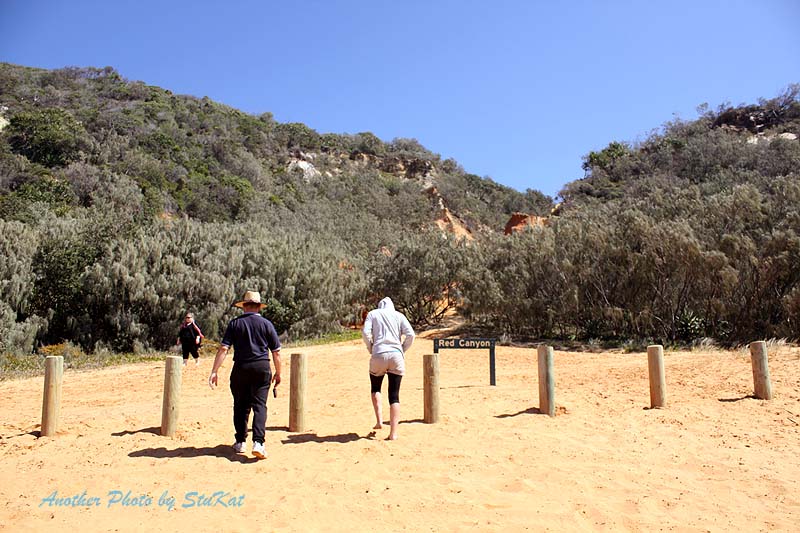
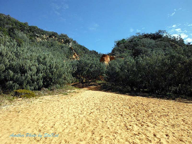
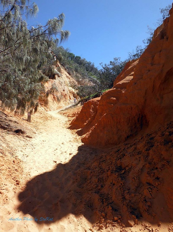
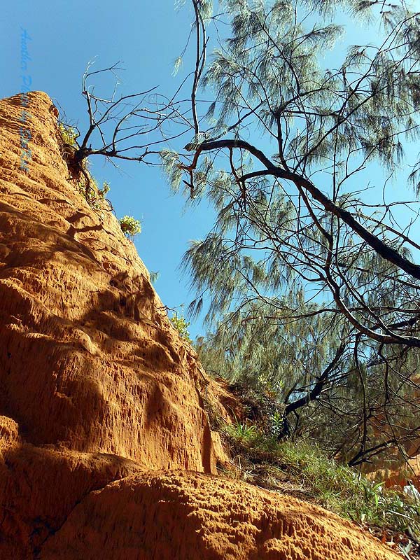
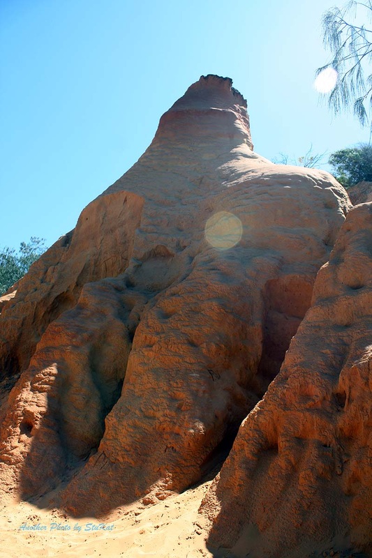
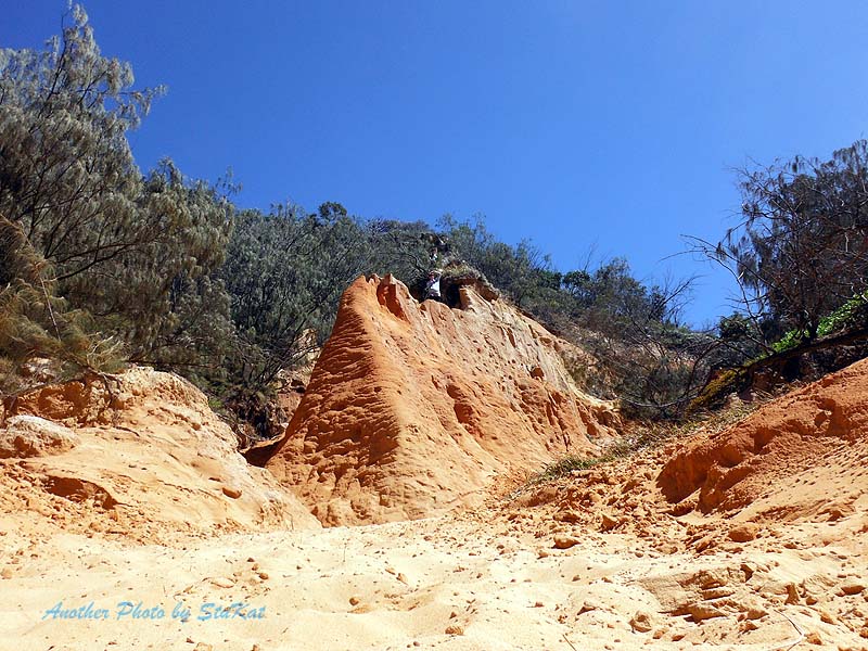
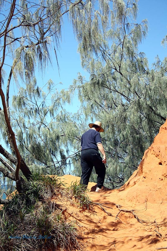
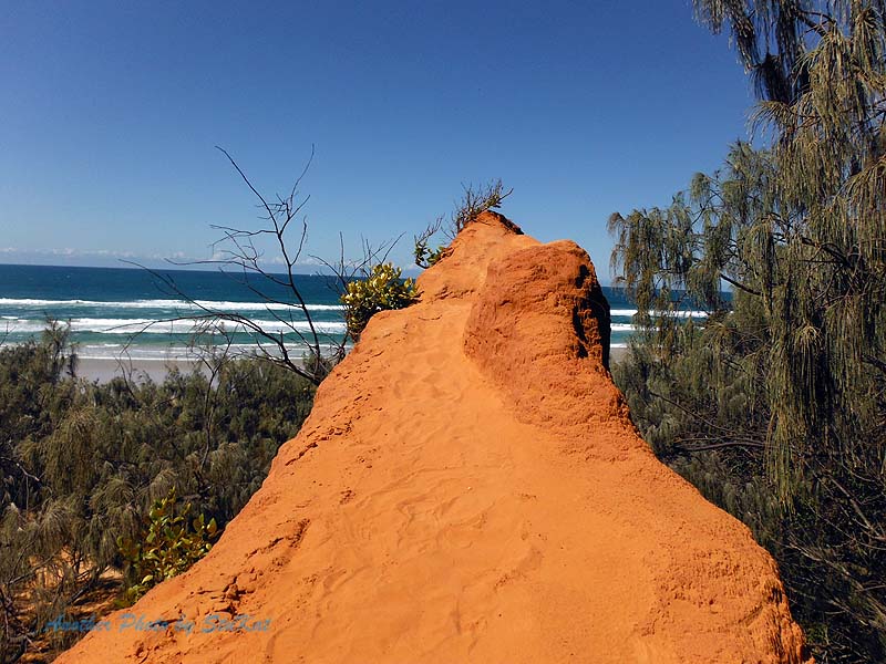
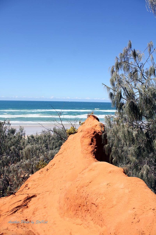
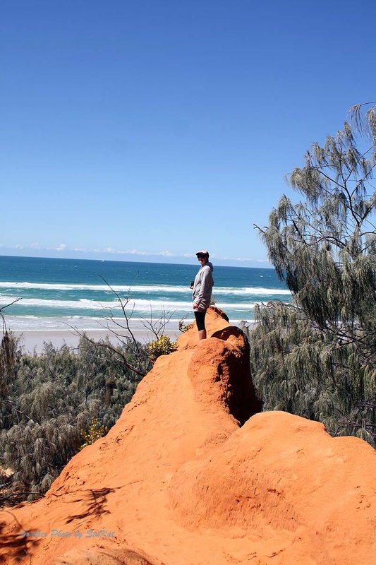
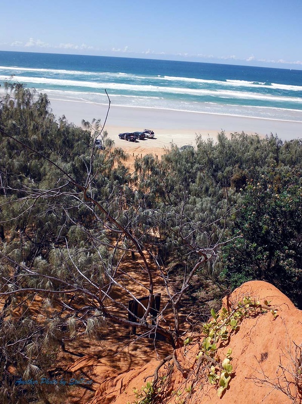
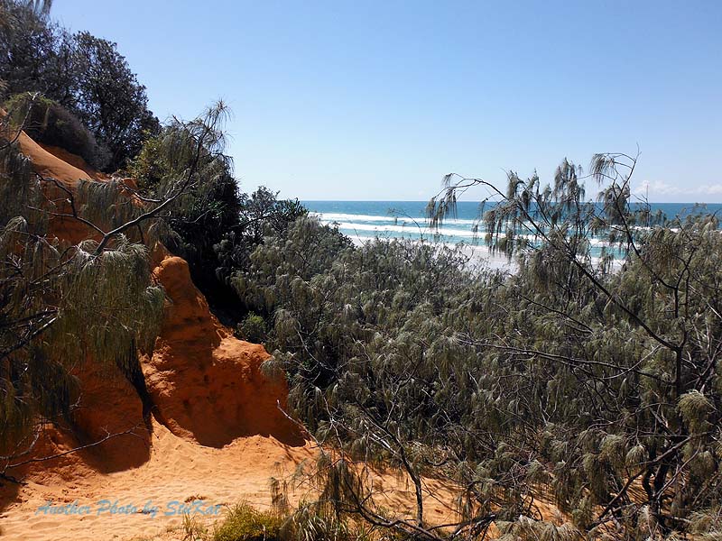
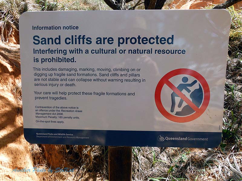
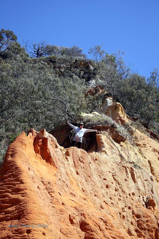
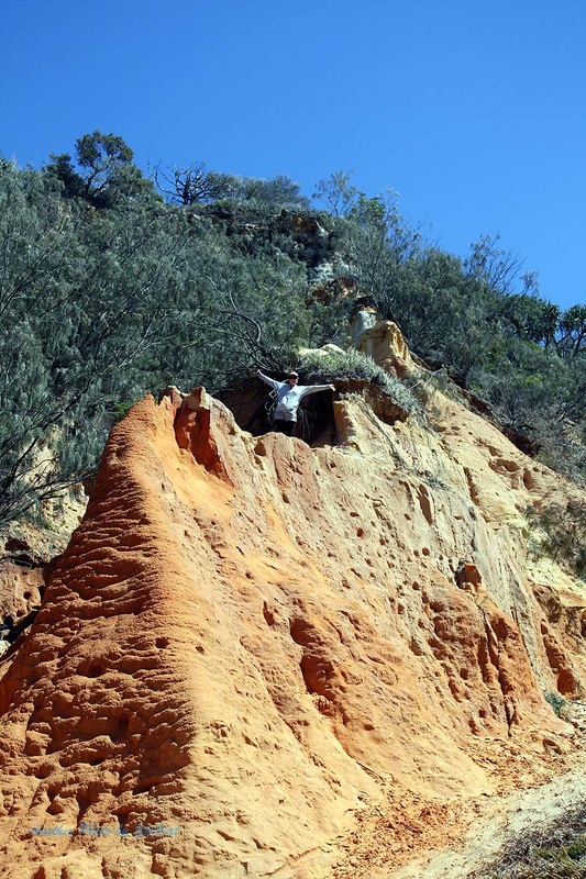
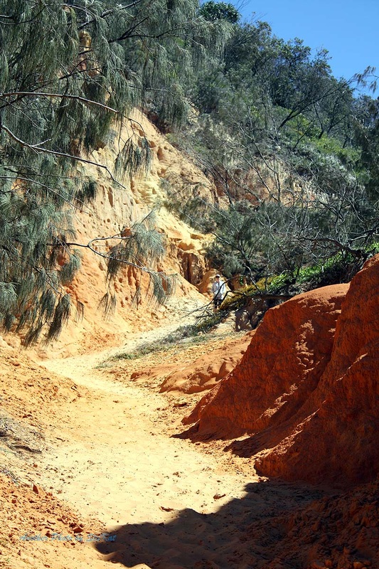
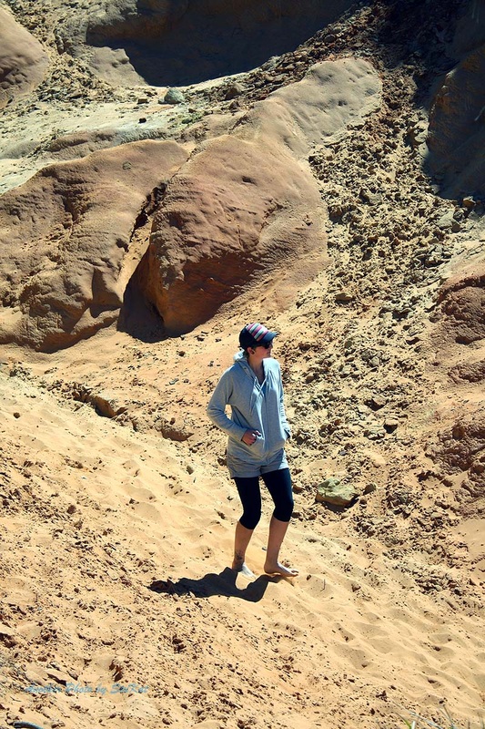
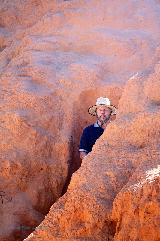
I didn't take any video on this trip as I had already published this one from a couple of previous trips. Click "here" to view it. Our first stop on our way North was a place called "Red Canyon". There are some photos in the old video I just mentioned but also in the gallery below. Red Canyon is pretty much what it sounds like. It's a canyon, and it's predominantly red sand. There are signs there saying not to leave your mark but of course, many folk do. We all went for a walk up the Canyon but Jo Ana went up further than the rest of us. I have no doubt that Jo was also the fittest of us.
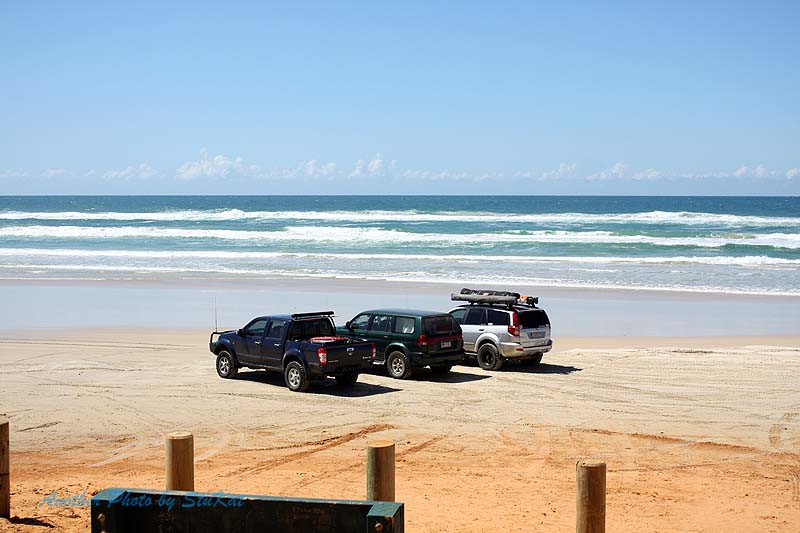
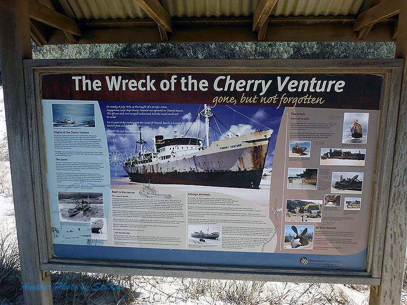
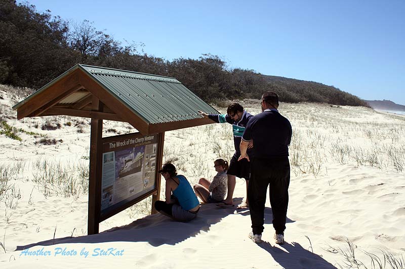
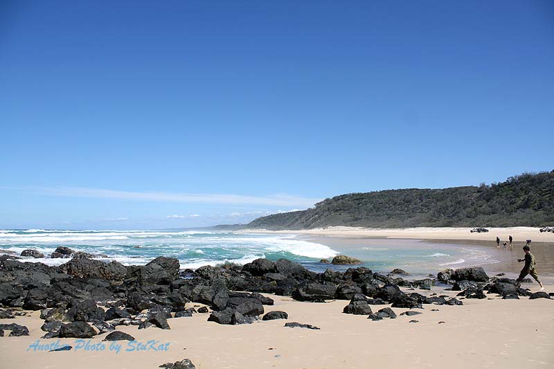
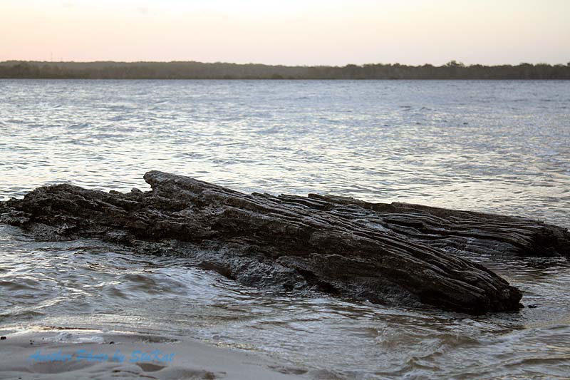
The next stop was the Freshwater Camping & Day Use area where we had an early lunch and made use of the amenities and then back out onto the beach to find the former resting place of the shipwrecked "Cherry Venture". It's harder to spot now as the remains of the wreck itself were removed some years ago as a matter of safety. In fact, we drove straight past it and had to go back to it later on after visiting Double Island Point.
All that remains now is a notice board which tells of the history of the wreck and what salvage attempts were made and why it was finally left to rot.
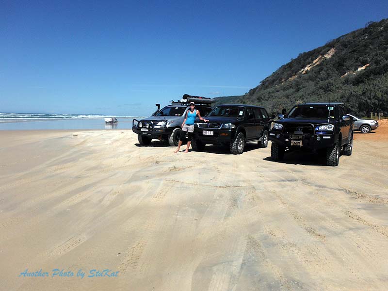
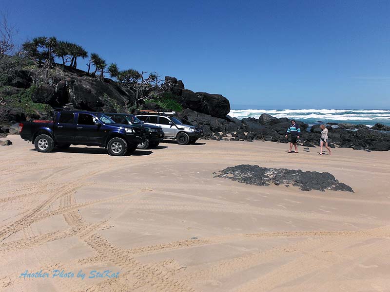
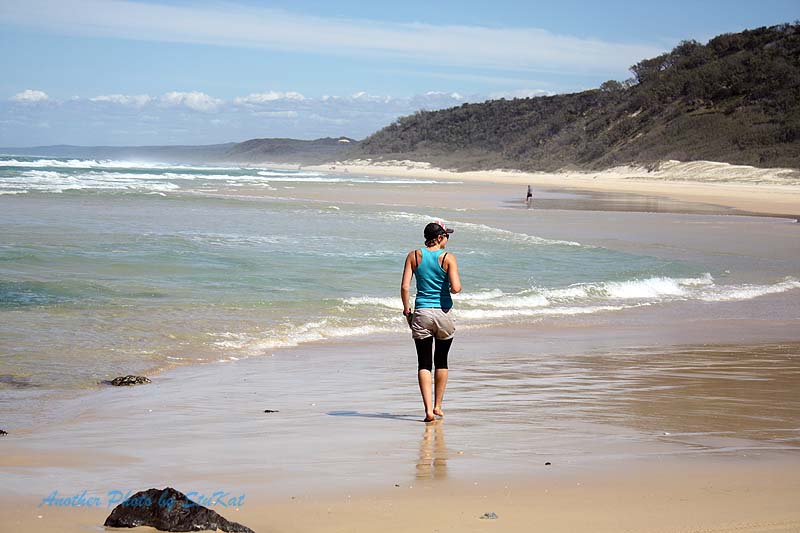
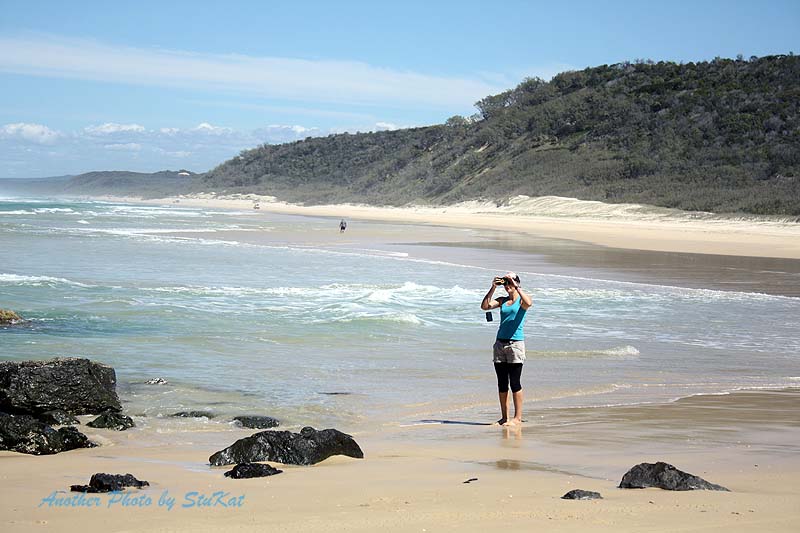
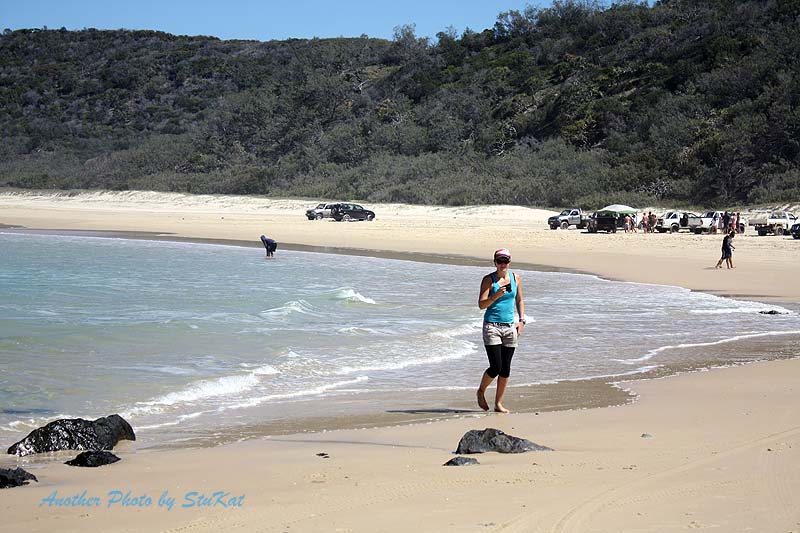
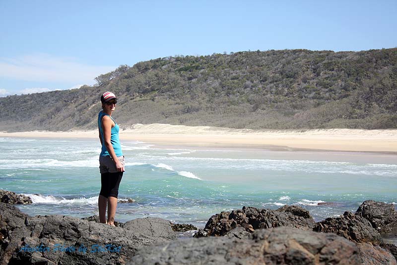
On to Double Island Point where we stretched our legs & took some happy snaps. My wife Kate took over 350 photos over the weekend but most were of the "things in nature" category and in some cases, purely experimental photography just to see what she could come up with. Due to the chilly southerly wind and general lack of motivation to climb a hill, none of us did the walk up to the lighthouse. We left D.I.P and drove south to the "Leisha Track" where I was promptly brought to a standstill in the soft sand.
It wasn't the soft sand that stopped me however, it was a bogged Prado. I have no idea what tyre pressures this fellow was running or if any of their group even knew what they were doing but there were enough of them there to push a wreck off the beach so they didn't need our help. After they were out of the way I had a standing start from the soft stuff but managed to pull away without any dramas. Tyre pressures? Auto locker in the rear diff? Skill? Maybe a little of each but I'll tell myself it was all skill and that can be our little secret.
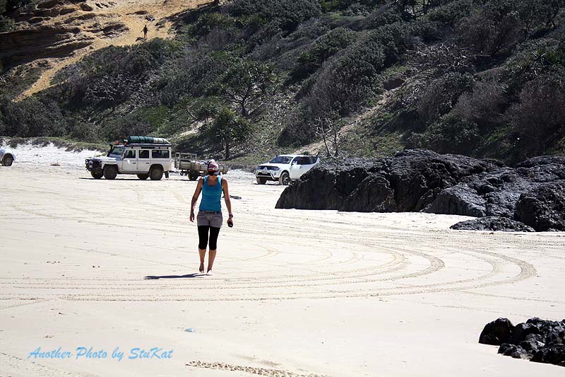
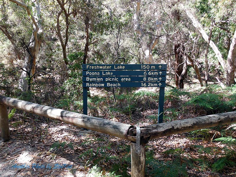
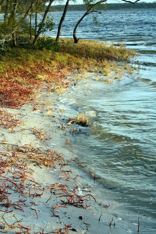
Out through the Leisha Track and a right turn onto Rainbow Beach for another quick stop. Due to reports of recent big seas washing a lot of sand from Mudlo Rocks and reports that it was now impassable, even at low tide, we didn't bother driving North on Rainbow beach but went back through the track to Teewah Beach and back down to the Freshwater Track where we made our way along the track with a stop to visit Freshwater Lake before heading back to Rainbow Beach road. A left turn onto Rainbow Beach Road and a few kilometres of bitumen and then a right turn onto the Poverty Point Track.
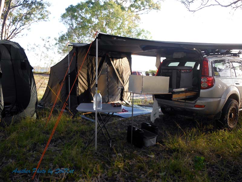
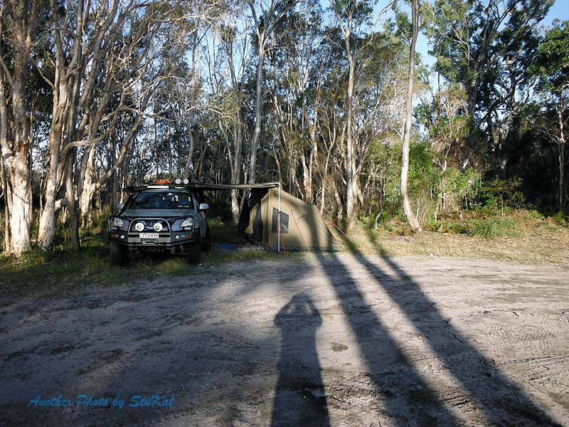
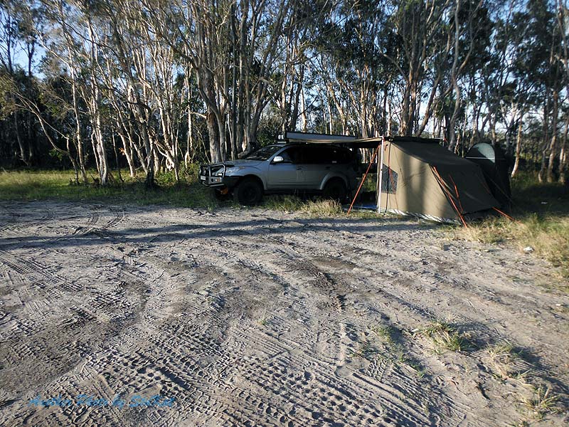
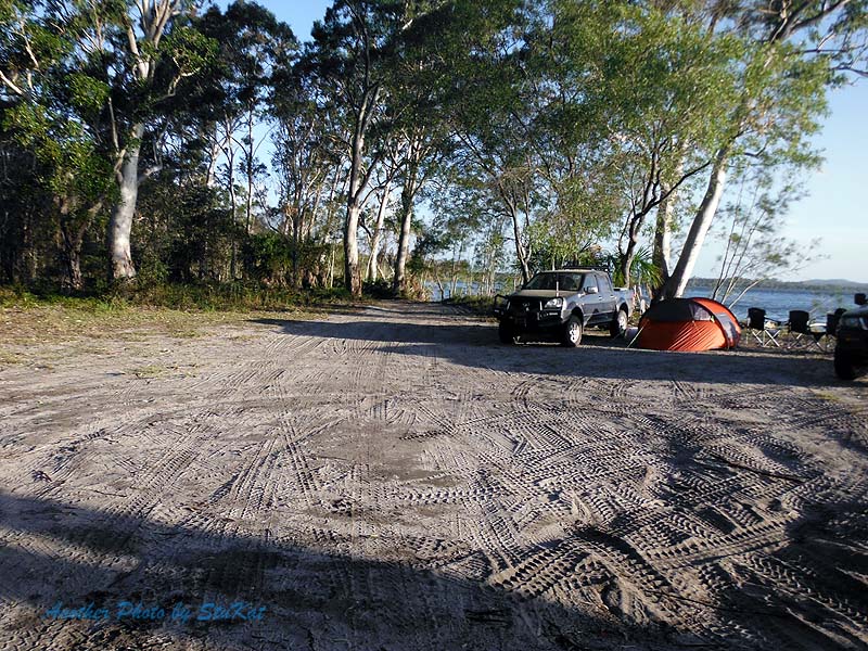
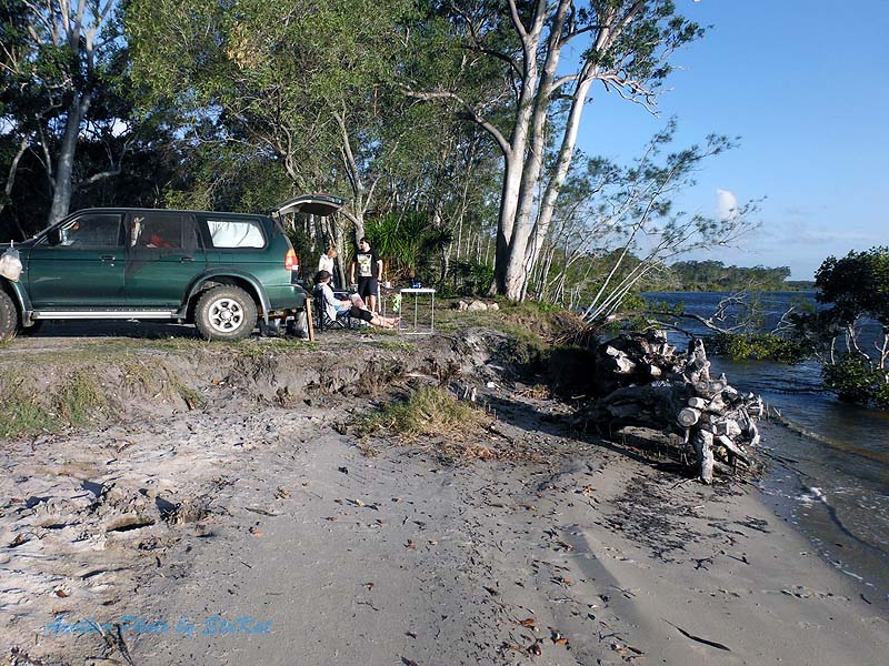
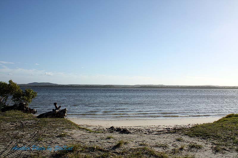
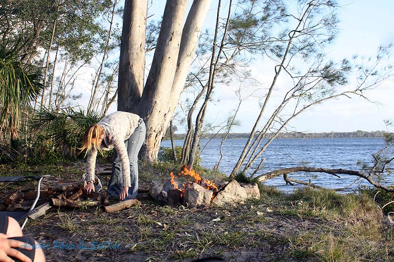
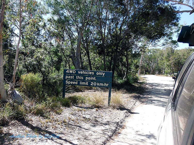
The 6km track out to the camp ground is listed as "4WD only" but, apart from the odd patch of soft sand, I think almost any car could do it. We arrived about mid afternoon and after deciding on a suitable spot we set up camp. This took me longer than anyone else simply because I (a) carry more crap, and (b) I wasn't in any rush. All firewood must be brought in yourself and Kingsley & Shenteal very kindly did that for us and built an excellent fire. I can't remember how long it's been since I was able to sit around a campfire and chat. Kinda sad really.
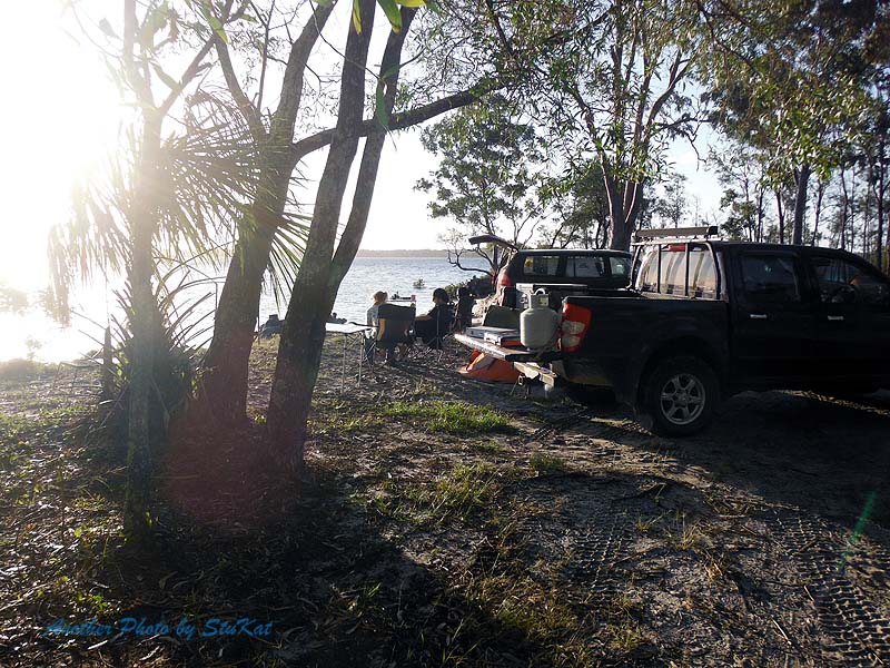
Anyway, We each did our thing for dinner before settling around the campfire and we enjoyed the fire until the rain came. At this point, Kingsley & Shenteal hit the sack and Kate & Jo and myself retreated under my foxwing awning where I cooked pancakes topped with fresh strawberries from the farm that Jo works on. Why go camping when you can go "Glamping" instead I say. I'm not into roughing it! I'm not sure what time we finally went to bed but we drifted off to sleep to the sound of rain.
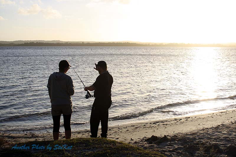
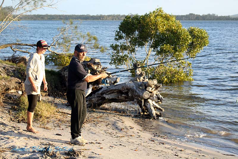
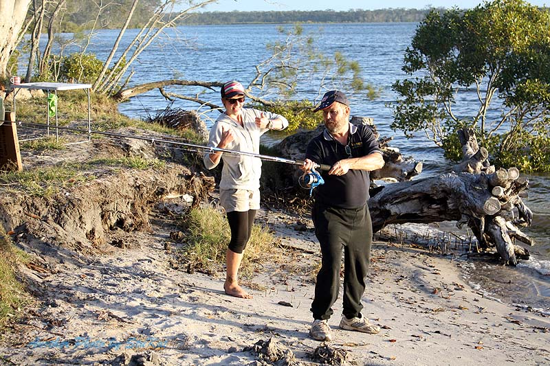
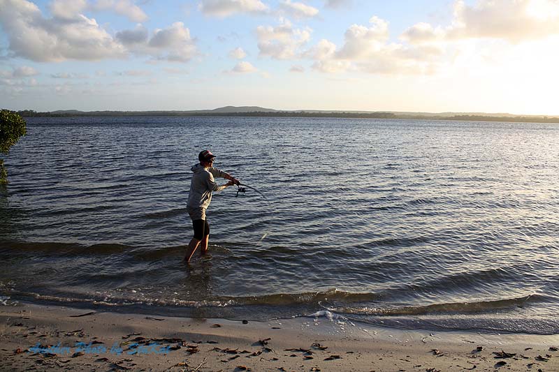
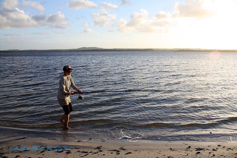
We were up again somewhere around 6am and had a cuppa. I rigged one of my rods and flicked a Z-Man grub around for a while but only had one small enquiry. I would love to go back there again with fishing in mind and spend a couple of days there with my kayak. We packed up our wet things and in the process of trying to pack more quickly and not packing things exactly as I had them, I ended up taking longer to pack but we were still ready to leave at 8.30 as I had planned to, although earlier would have been better.
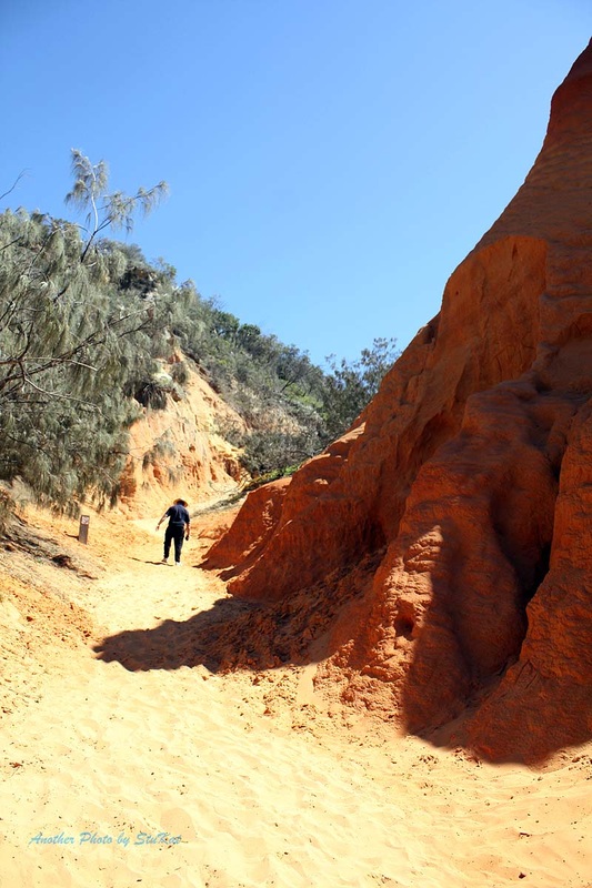
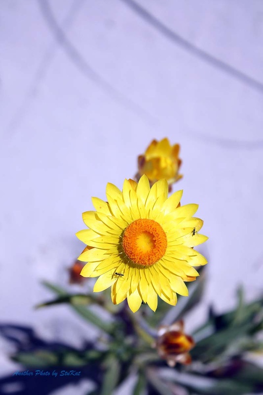
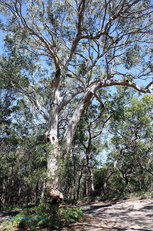
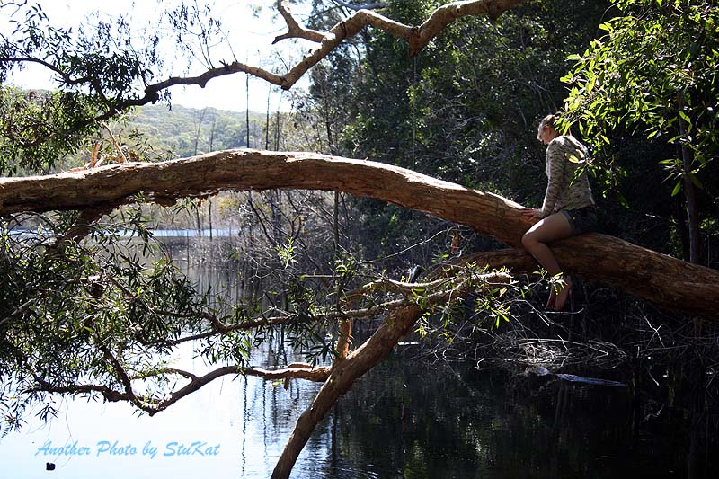
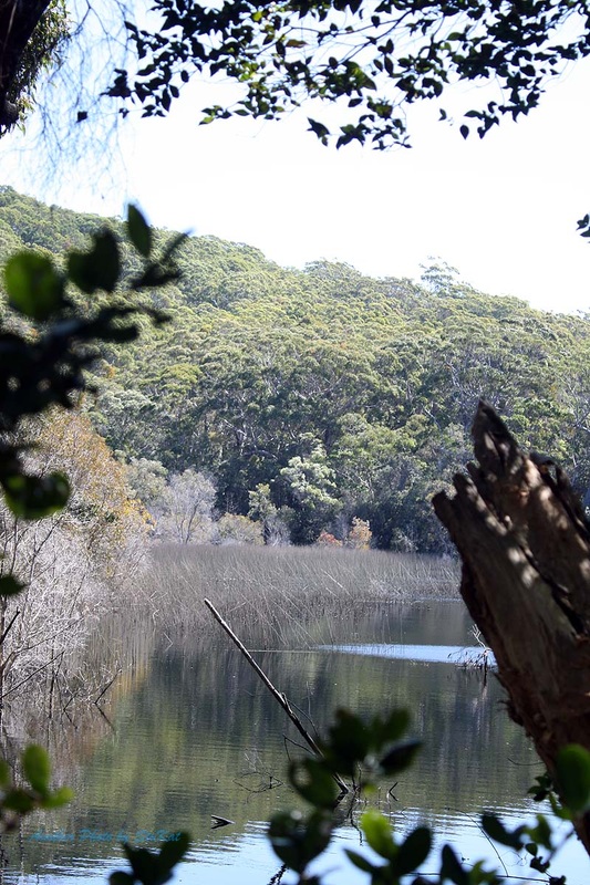
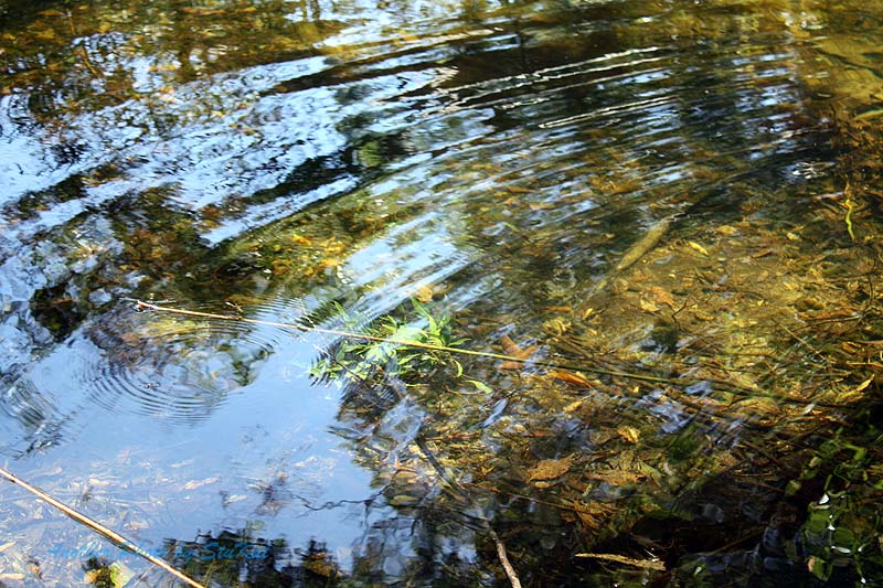
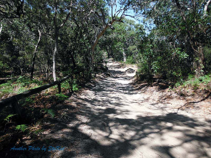
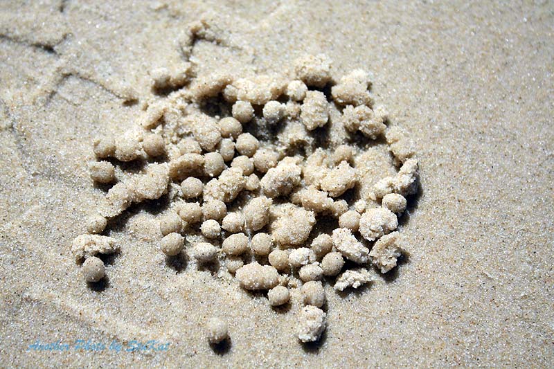
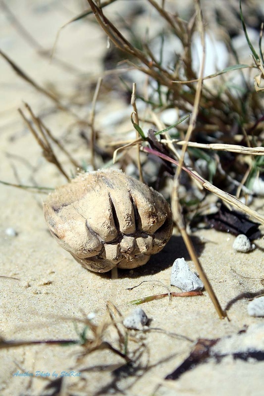
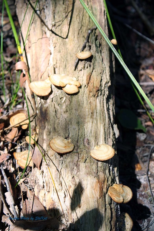
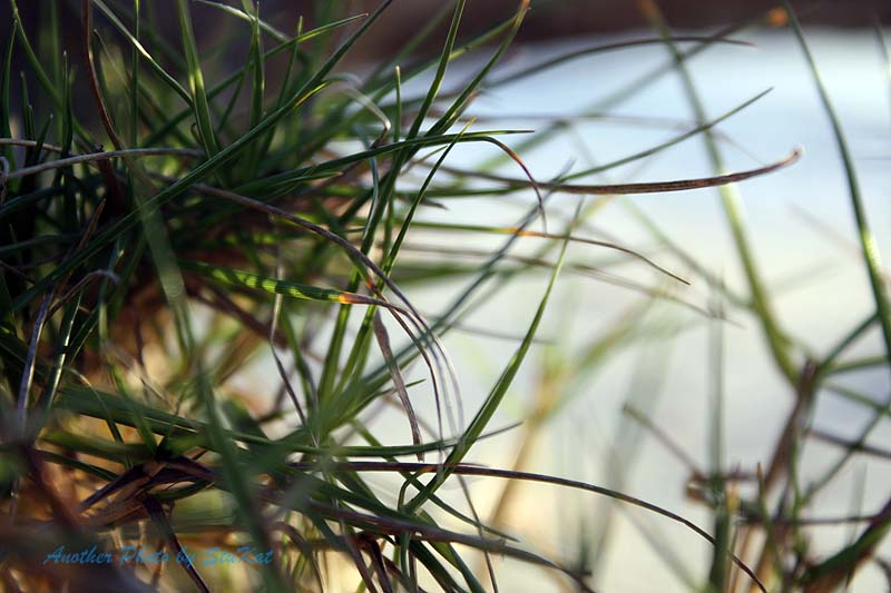
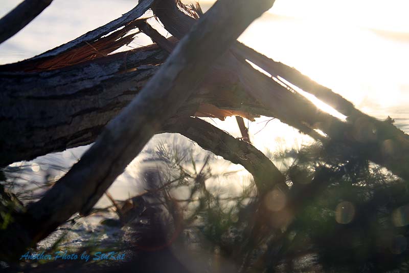
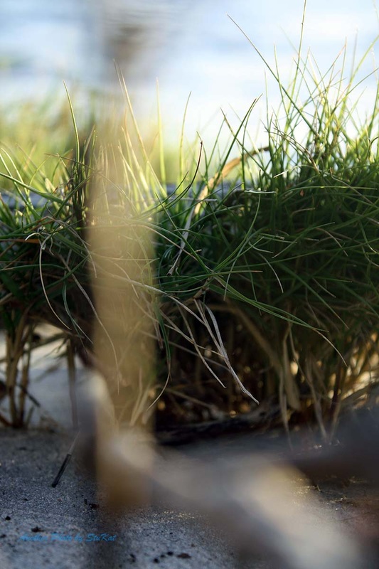
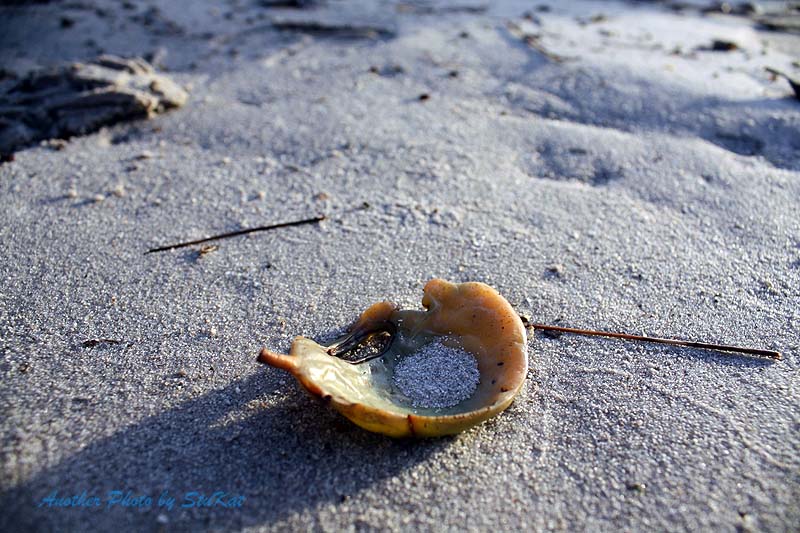
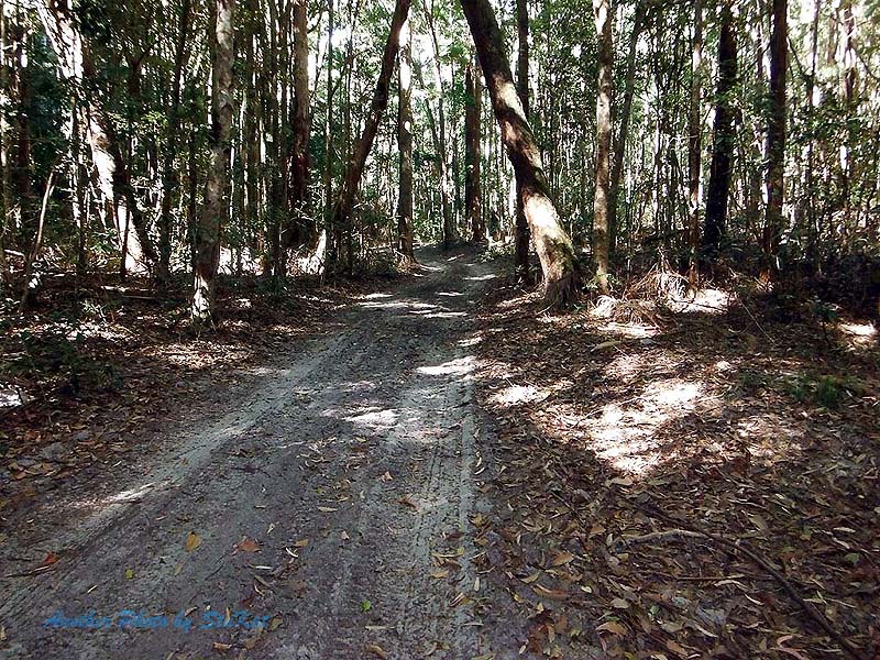
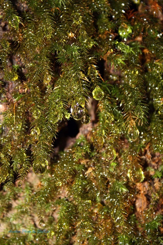
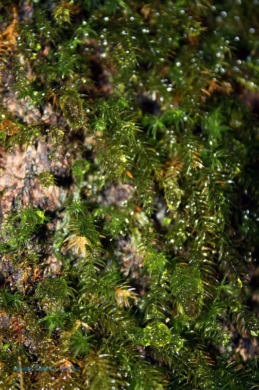
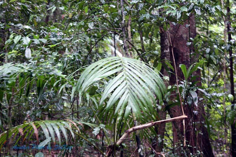
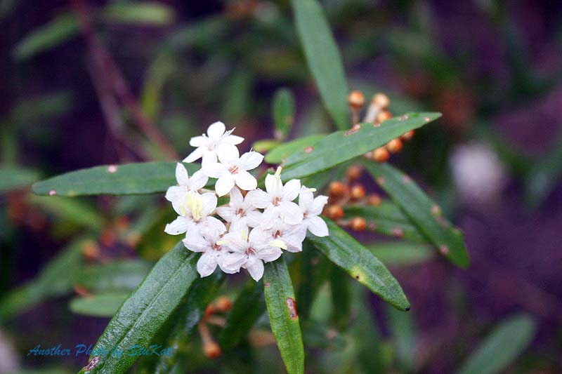
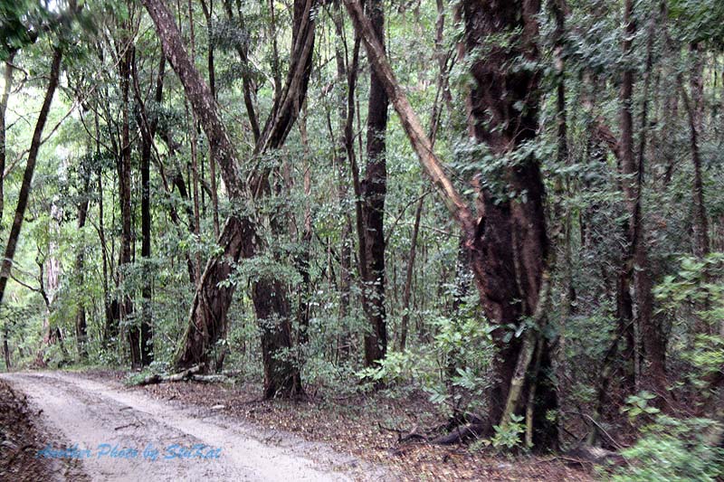
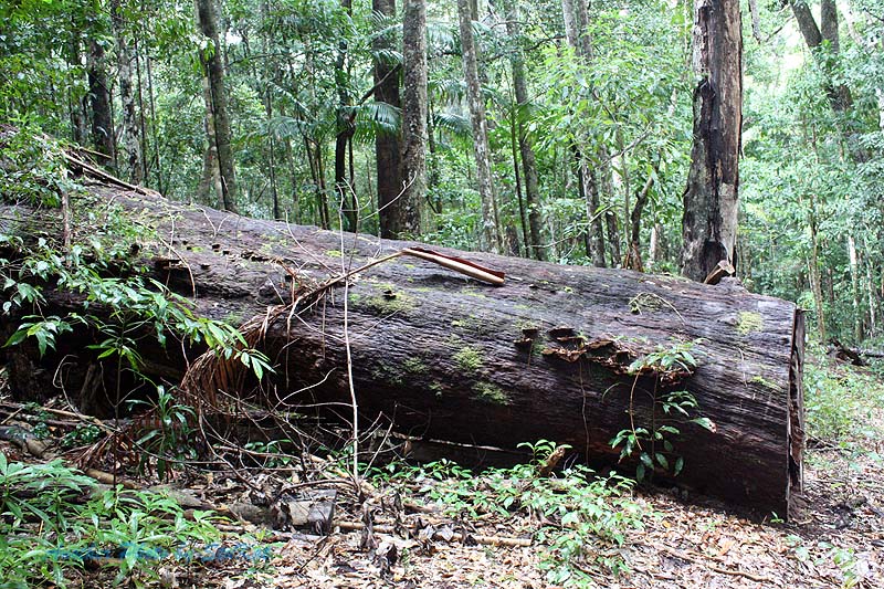
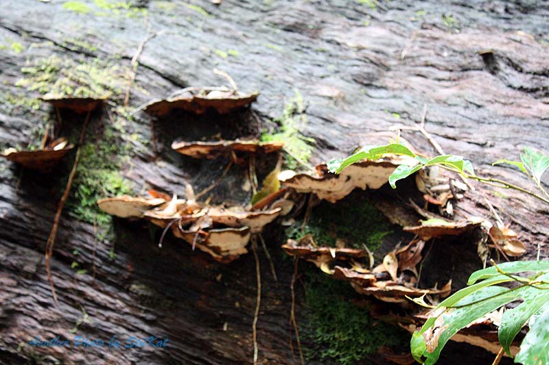
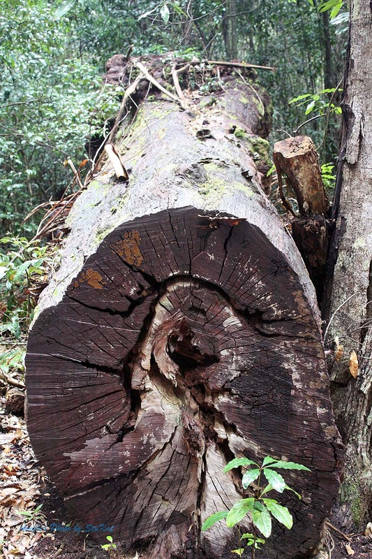
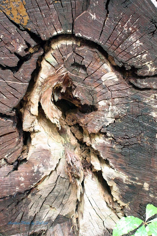
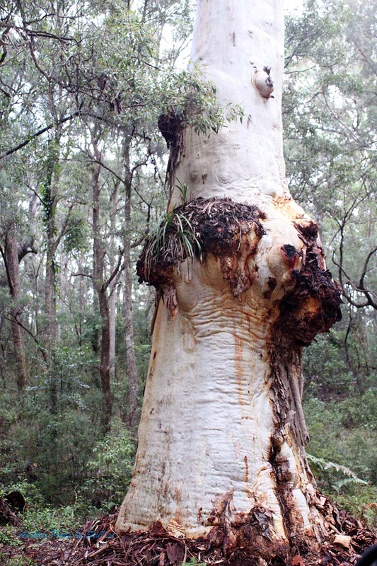
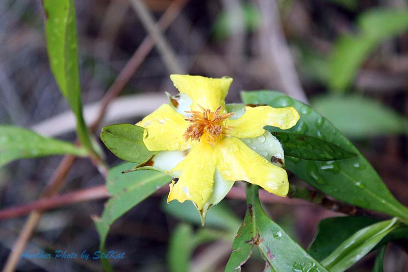
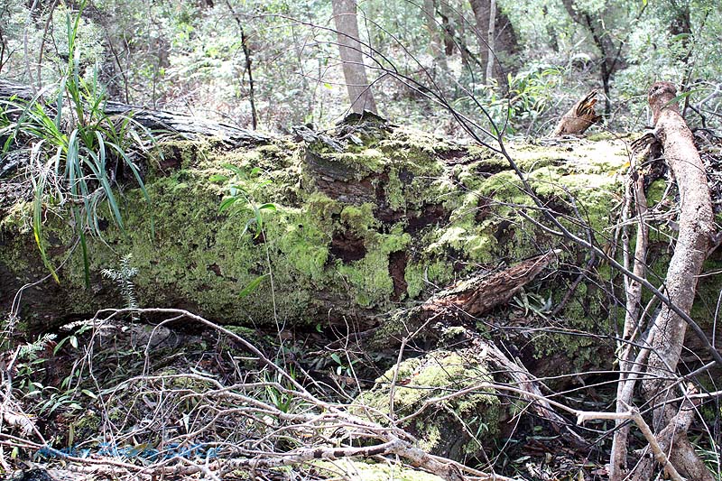
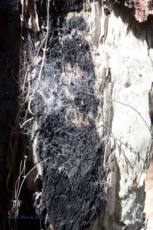
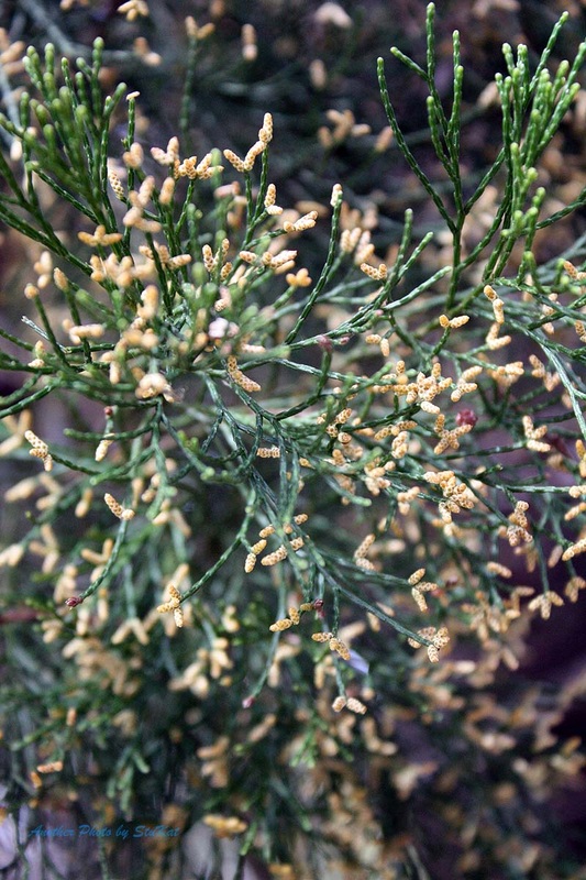
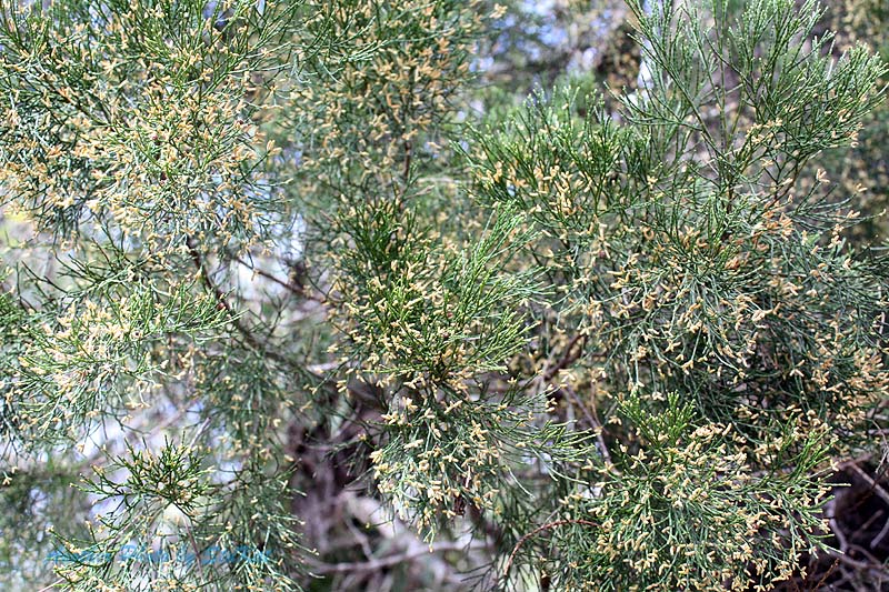
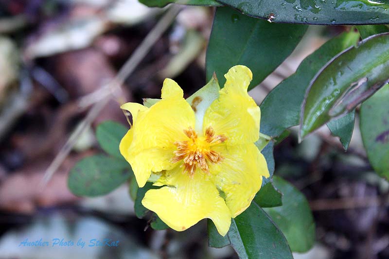
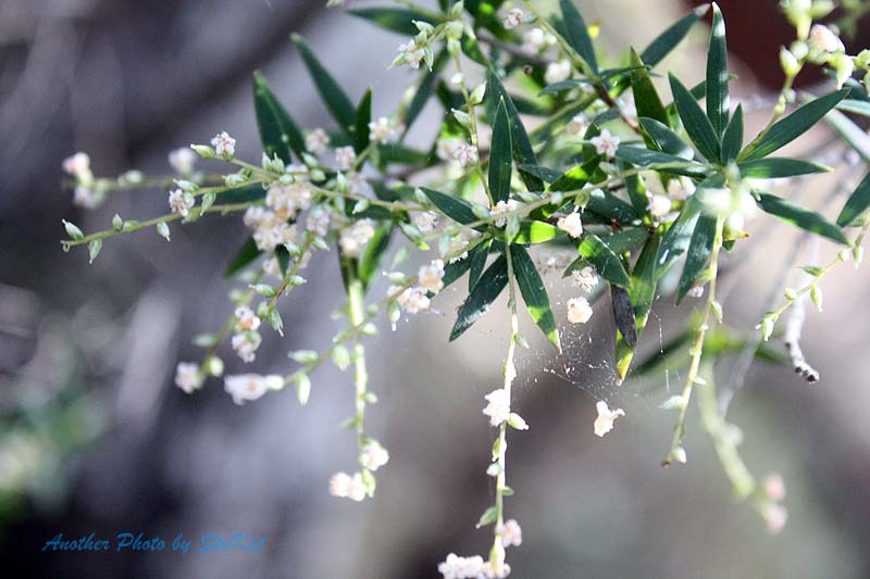
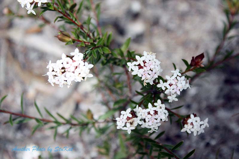
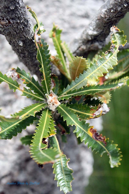
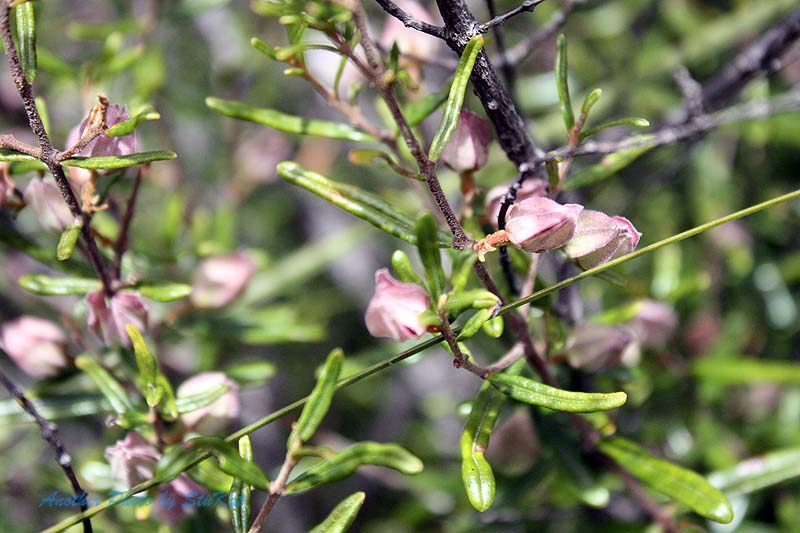
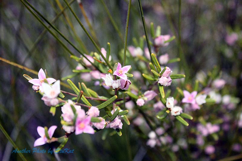
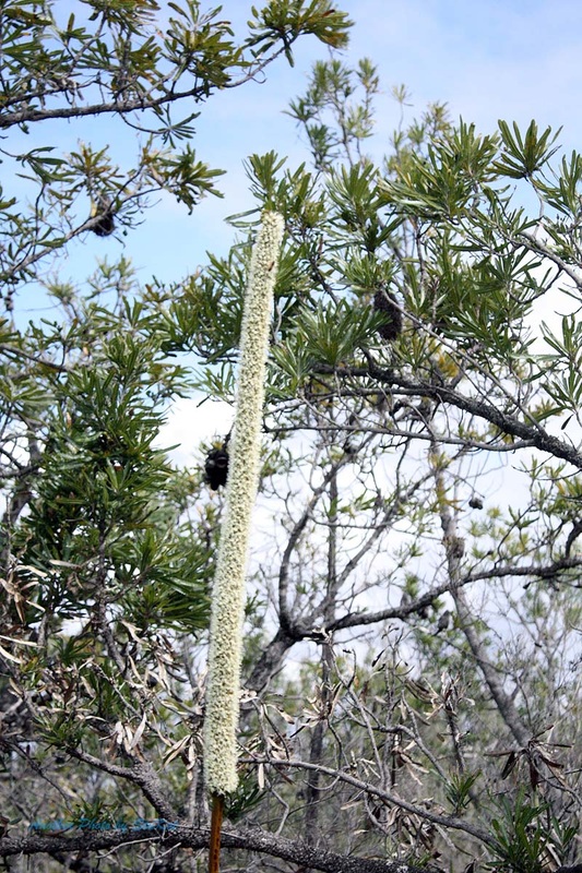
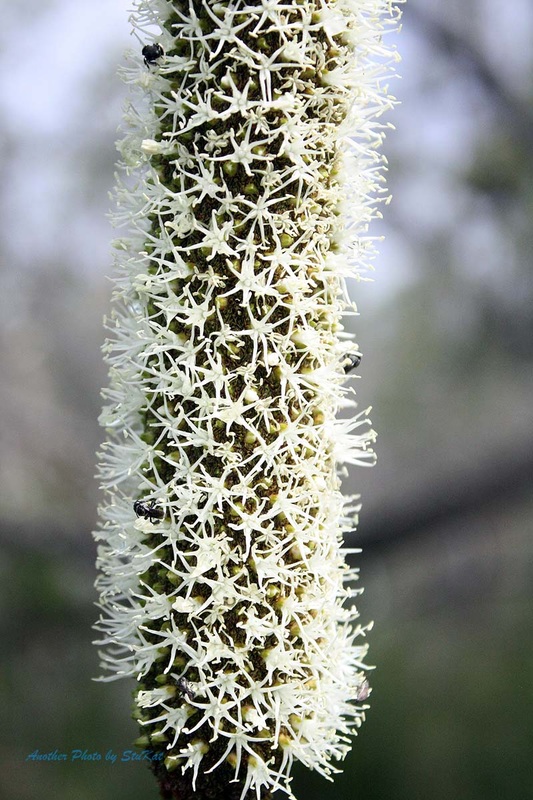
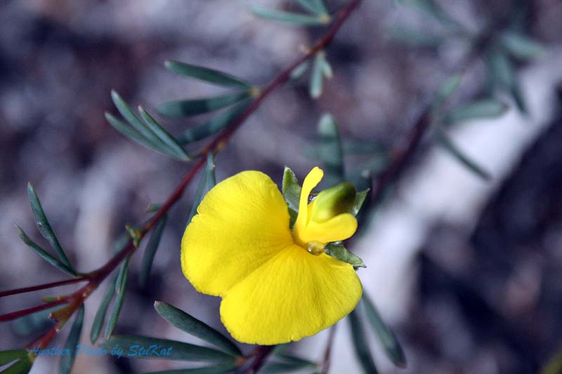
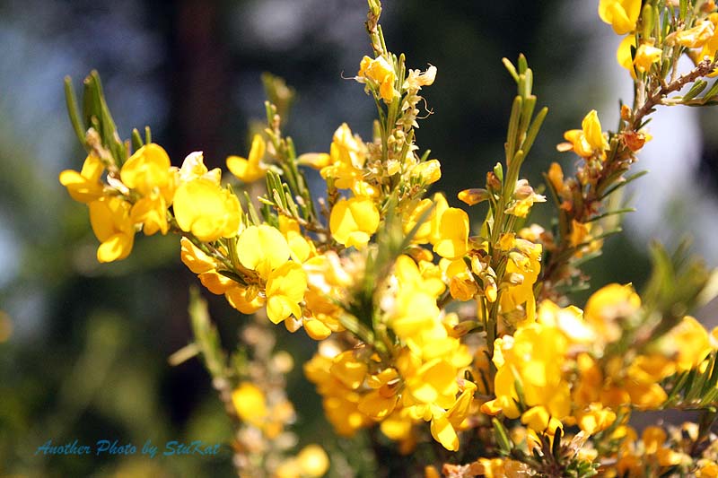
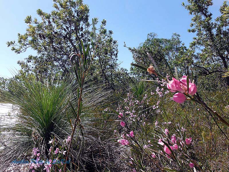
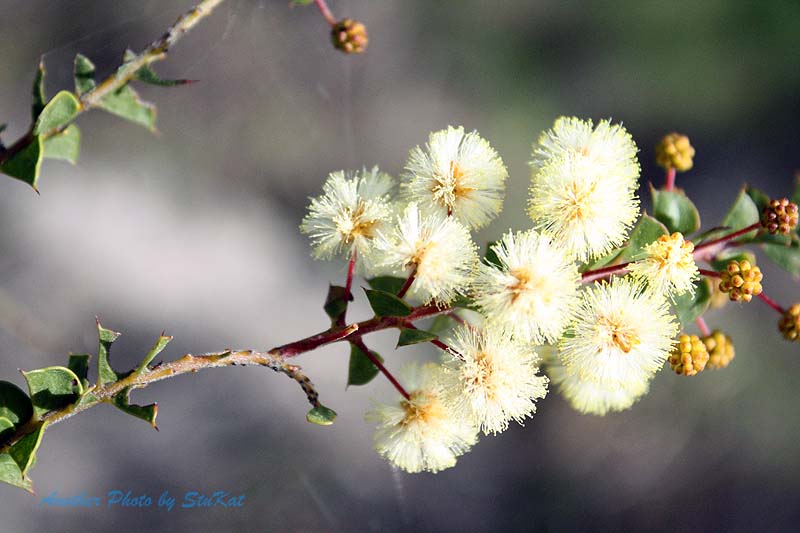
Back onto Rainbow Beach Road and a bit of a backtrack to find the entrance to the loop track (shown in the image above) and after I drove past it, thinking it wasn't the one we wanted, we added a few more bitumen miles on the clock. A quick U-Turn and back on track to drive what is a very picturesque loop that links up with the , now closed, King's Bore Track. Kate thoroughly enjoyed the photo opportunities here. Moss, Fungus, wildflowers, spiderwebs, you name it and Kate got a shot of it. She even took a shot of our cars now and then. *smirks.
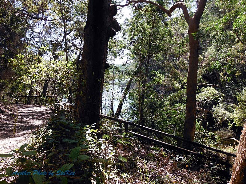
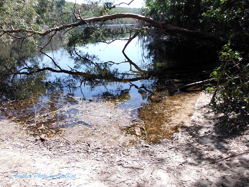
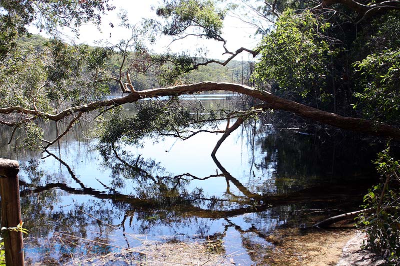
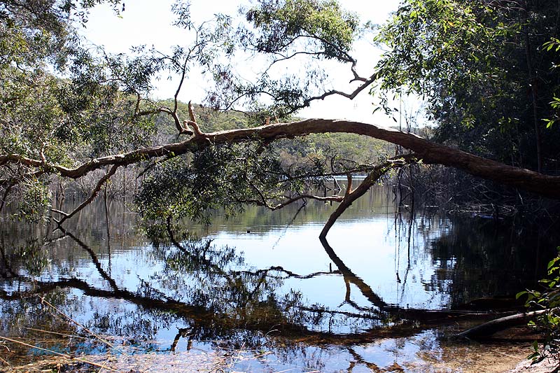
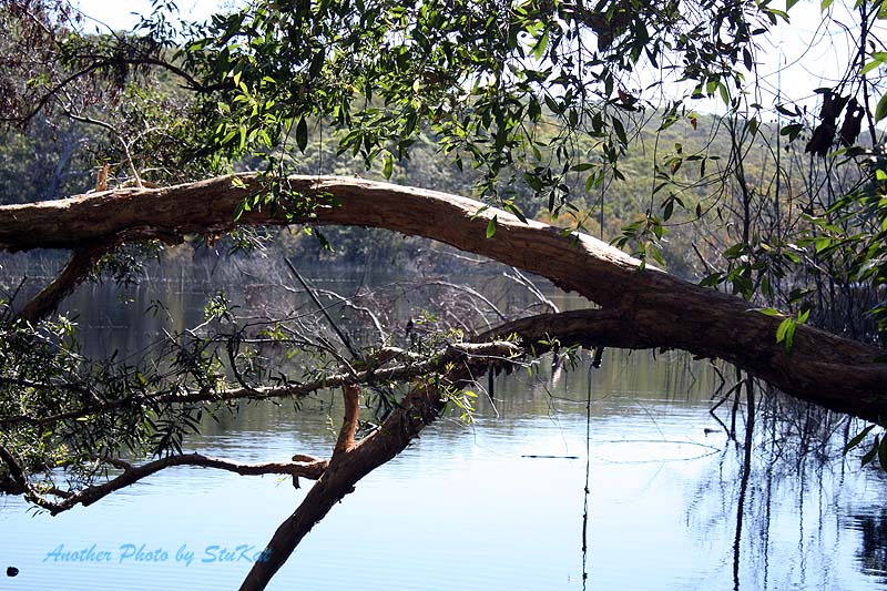
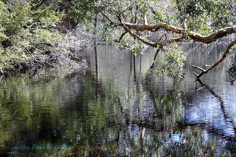
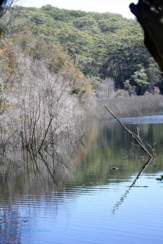
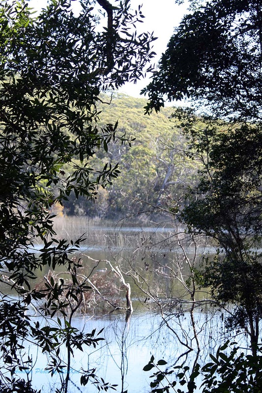
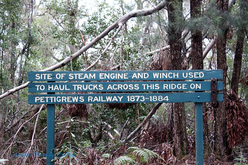
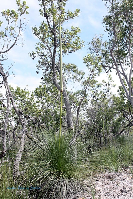
The diversity in this relatively small area, is nothing short of amazing. As you drive along the track the forest changes back and forth from paperbark to eucalypts, to rainforest, ghost gums, and even some open scrubland. The track mainly follows the ridgelines in the hills behind Teewah Beach and even puts you in view of Lake Cooloomera but I'm not sure if there is access to it via a walking track. We didn't see any evidence of a track but then, we didn't really look for one either. Although most of the track is sandy, roughly the last 1/3rd of the track is soft sandy stretches which add to the fun. A little but momentum is the secret here.
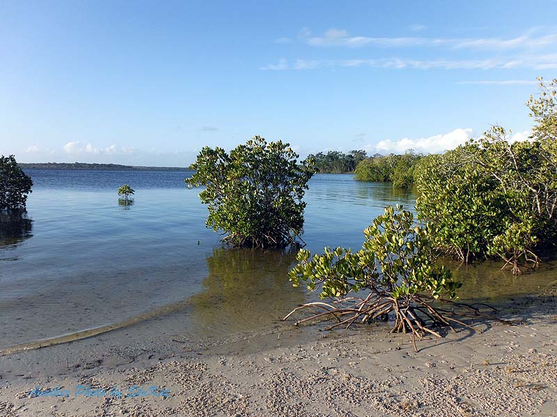
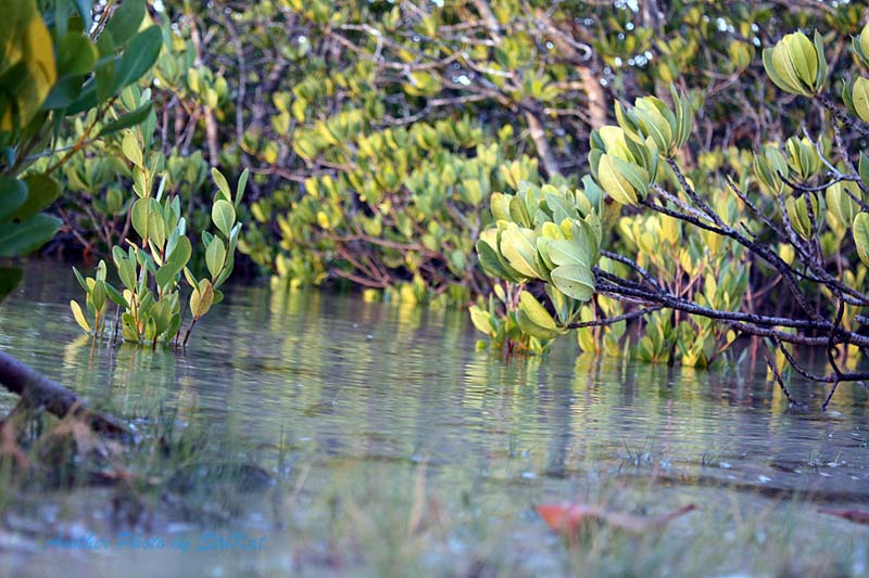
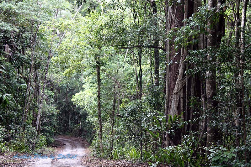
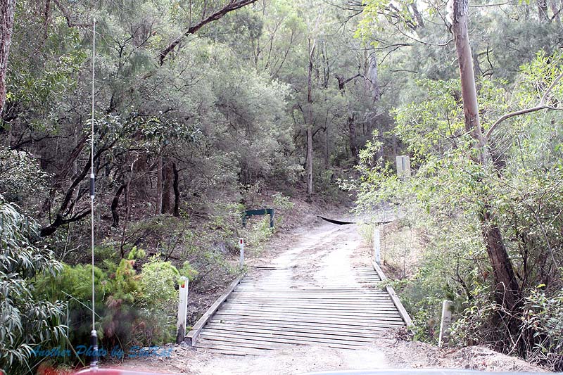
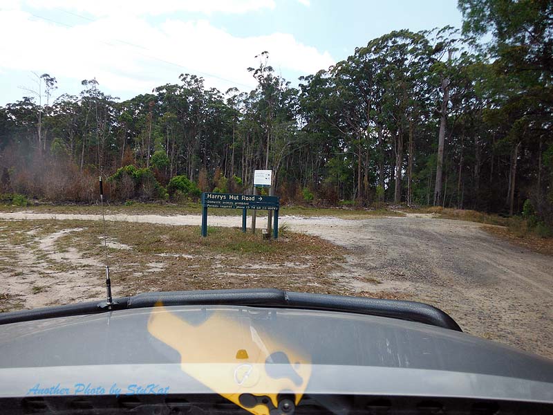
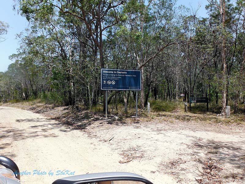
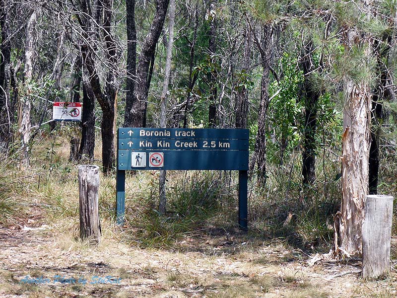
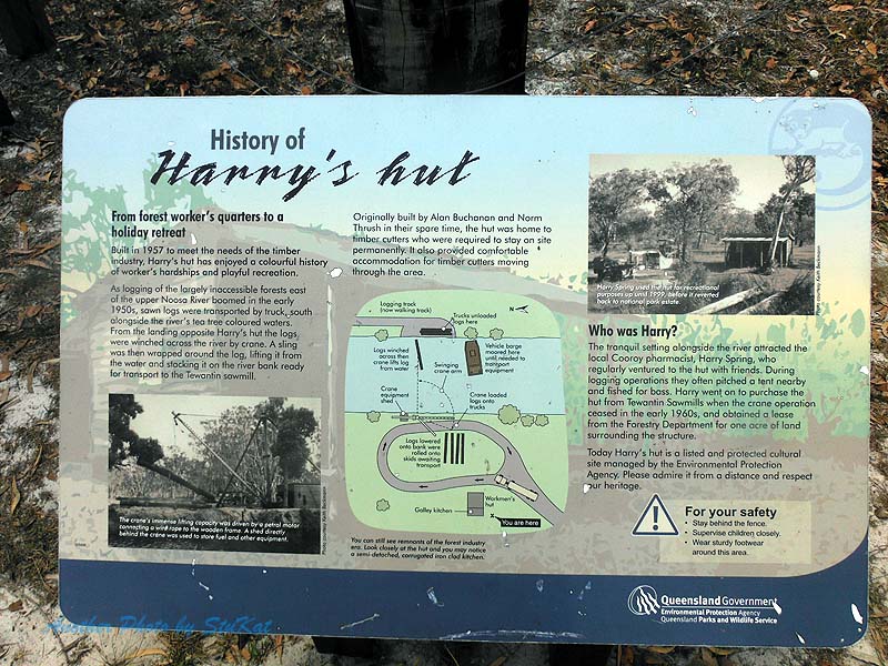
After completing this loop, the plan was to head to Harry's Hut via the Cooloolah Way, but it was barricaded and had signs about flooding. I guess it rained more than we thought overnight. A quick look at the maps on the iPad and we were able to bypass the closed section by travelling a little further west and then south along the border of forestry and National Park and eventually through the National Park. The were a few small water crossings to make the otherwise boring tack a little less so. It was only boring from a 4WD'ing point of view as it presented no challenges, but the scenery was nice. Nature is always nice.
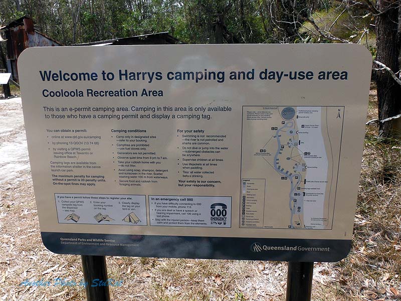
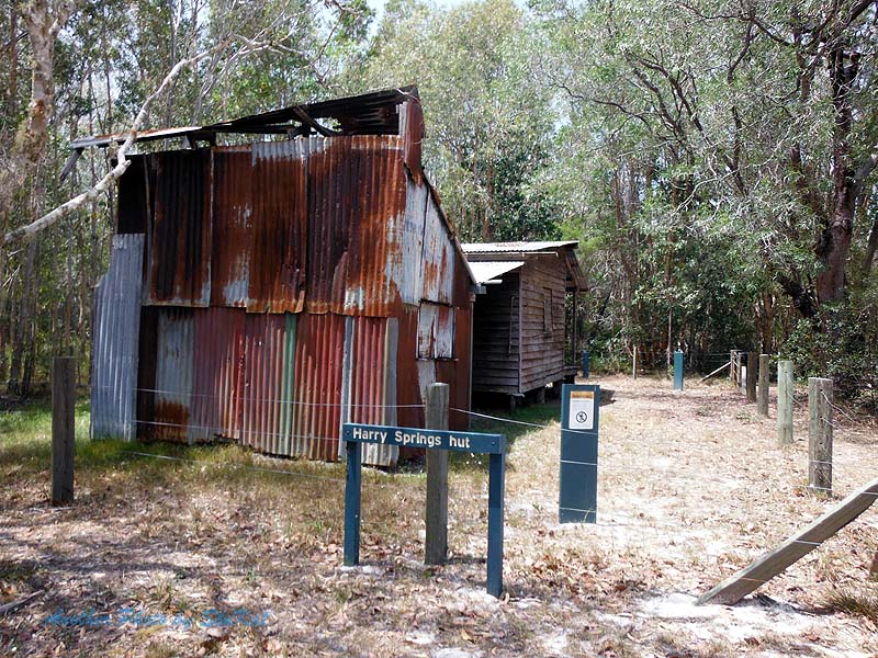
We rejoined the Cooloolah Way at it's southern closure point and continued to the Harry's Hut turn off and then it was an easy 10kms to drive to the camping & day use area. The tracks in this area were in way better condition that when I last drove them. After having lunch at Harry's Hut we made our way back to the main road, aired up again and headed back to the Bruce Highway via Kin Kin and Pomona. Pulling back into our driveway in Caloundra the trip metre read 495.1 kilometres and about 1/8th of a tank of fuel left. After being home for about 10 minutes and having unpacked only a 1/4 of the car, down came the rain. Apart from that and the overnight rain at camp, the weather was pretty good to us.
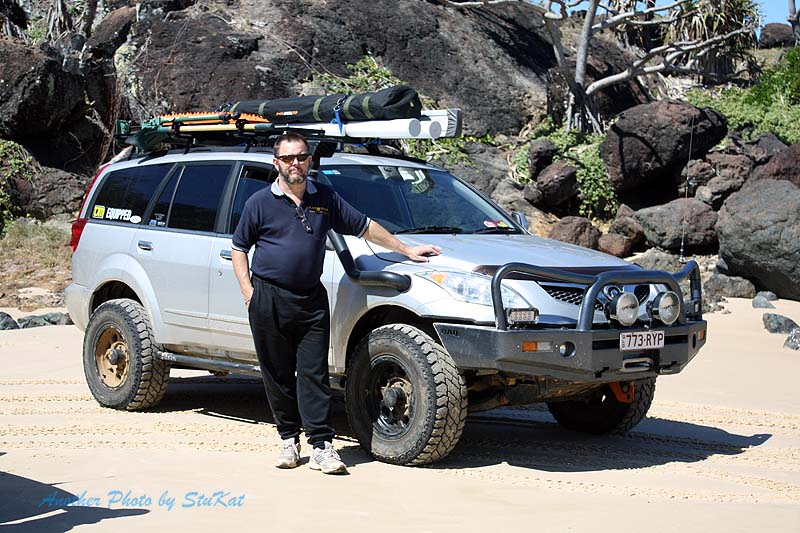
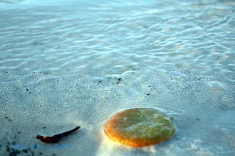
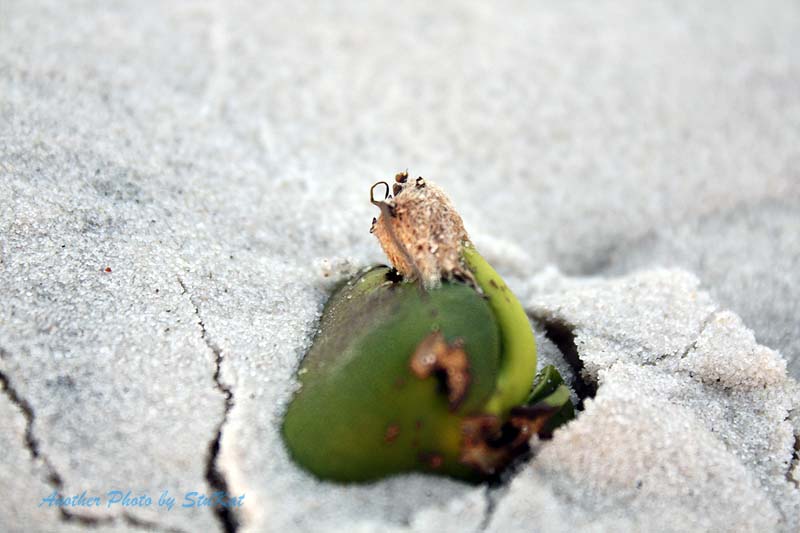
This was the first time I had done this trip with so much gear in the car and I would say that even though nearly half of our driving was off road, it wasn't all in 4wd. With a petrol 4 cylinder you really need to stay down a gear and keep the revs up in the soft stuff, especially with my non standard diff ratios and wheel/tyre diameter, and this chews fuel. Not to mention how much weight I was carrying. I would really like a bigger fuel tank. Onto the photos now and I will use some from a previous trip for the incidental things. I hope you enjoyed the read, and I hope you enjoy the photos.
If you have any questions or comments about this trip, please use the "Trip Comments" category on the blog page.
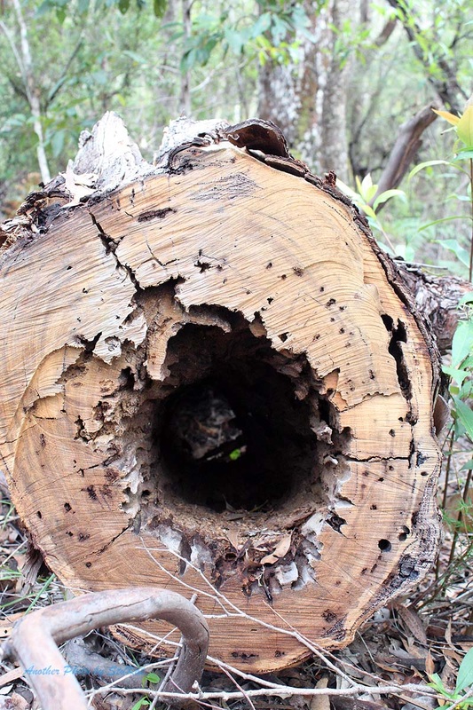
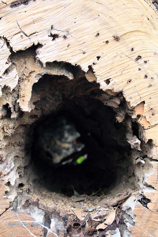
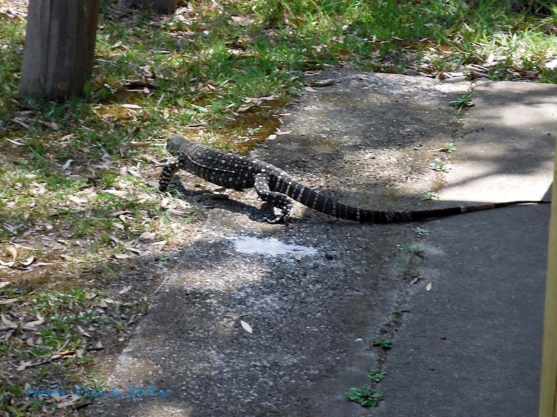
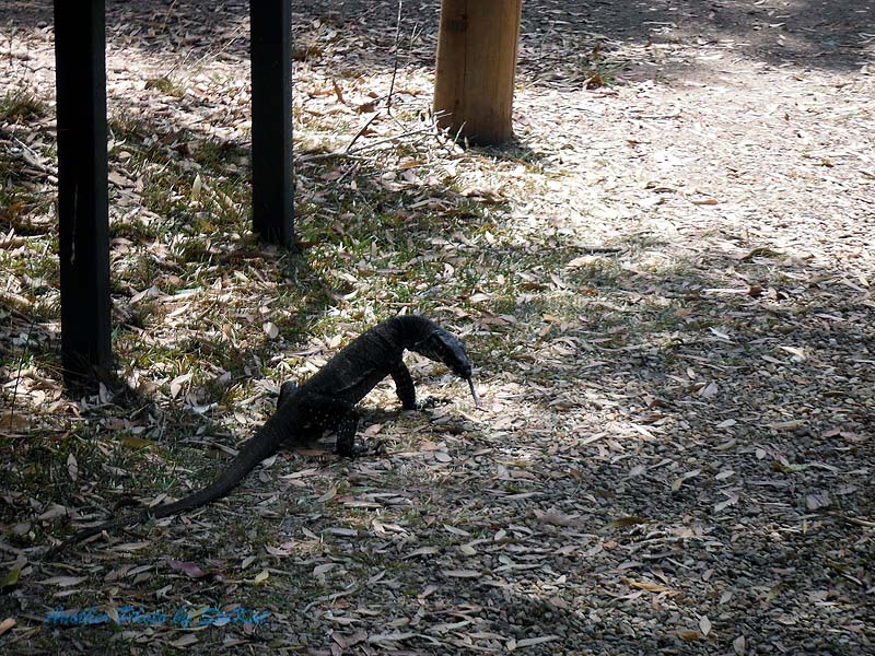
Please note: I have used some photos from a previous trip to fill in certain "photographical blanks". A couple are from the "Camp Milo" loop track and the others were from Harry's Hut where we had lunch.
After meeting up with our travelling companions at the Ettamogah Pub we departed a little ahead of schedule and made our way up to Tewantin via the Sunshine Motorway. We had a pretty smooth run, despite it being a Saturday, and we arrived at Tewantin to catch the car ferry and found a bit of a queue. Both ferries were running so it wasn't a long wait.
After crossing the Noosa River it's only a few more kilometres of bitumen before you hit the beach. A quick stop to air down and off we went. With very little soft sand to cross before hitting the hard wet stuff, many folk don't even bother to air down but we all preferred the boy scout motto of "Be Prepared" so, out with some air!
I didn't take any video on this trip as I had already published this one from a couple of previous trips. Click "here" to view it. Our first stop on our way North was a place called "Red Canyon". There are some photos in the old video I just mentioned but also in the gallery below. Red Canyon is pretty much what it sounds like. It's a canyon, and it's predominantly red sand. There are signs there saying not to leave your mark but of course, many folk do. We all went for a walk up the Canyon but Jo Ana went up further than the rest of us. I have no doubt that Jo was also the fittest of us.
The next stop was the Freshwater Camping & Day Use area where we had an early lunch and made use of the amenities and then back out onto the beach to find the former resting place of the shipwrecked "Cherry Venture". It's harder to spot now as the remains of the wreck itself were removed some years ago as a matter of safety. In fact, we drove straight past it and had to go back to it later on after visiting Double Island Point.
All that remains now is a notice board which tells of the history of the wreck and what salvage attempts were made and why it was finally left to rot.
On to Double Island Point where we stretched our legs & took some happy snaps. My wife Kate took over 350 photos over the weekend but most were of the "things in nature" category and in some cases, purely experimental photography just to see what she could come up with. Due to the chilly southerly wind and general lack of motivation to climb a hill, none of us did the walk up to the lighthouse. We left D.I.P and drove south to the "Leisha Track" where I was promptly brought to a standstill in the soft sand.
It wasn't the soft sand that stopped me however, it was a bogged Prado. I have no idea what tyre pressures this fellow was running or if any of their group even knew what they were doing but there were enough of them there to push a wreck off the beach so they didn't need our help. After they were out of the way I had a standing start from the soft stuff but managed to pull away without any dramas. Tyre pressures? Auto locker in the rear diff? Skill? Maybe a little of each but I'll tell myself it was all skill and that can be our little secret.
Out through the Leisha Track and a right turn onto Rainbow Beach for another quick stop. Due to reports of recent big seas washing a lot of sand from Mudlo Rocks and reports that it was now impassable, even at low tide, we didn't bother driving North on Rainbow beach but went back through the track to Teewah Beach and back down to the Freshwater Track where we made our way along the track with a stop to visit Freshwater Lake before heading back to Rainbow Beach road. A left turn onto Rainbow Beach Road and a few kilometres of bitumen and then a right turn onto the Poverty Point Track.
The 6km track out to the camp ground is listed as "4WD only" but, apart from the odd patch of soft sand, I think almost any car could do it. We arrived about mid afternoon and after deciding on a suitable spot we set up camp. This took me longer than anyone else simply because I (a) carry more crap, and (b) I wasn't in any rush. All firewood must be brought in yourself and Kingsley & Shenteal very kindly did that for us and built an excellent fire. I can't remember how long it's been since I was able to sit around a campfire and chat. Kinda sad really.
Anyway, We each did our thing for dinner before settling around the campfire and we enjoyed the fire until the rain came. At this point, Kingsley & Shenteal hit the sack and Kate & Jo and myself retreated under my foxwing awning where I cooked pancakes topped with fresh strawberries from the farm that Jo works on. Why go camping when you can go "Glamping" instead I say. I'm not into roughing it! I'm not sure what time we finally went to bed but we drifted off to sleep to the sound of rain.
We were up again somewhere around 6am and had a cuppa. I rigged one of my rods and flicked a Z-Man grub around for a while but only had one small enquiry. I would love to go back there again with fishing in mind and spend a couple of days there with my kayak. We packed up our wet things and in the process of trying to pack more quickly and not packing things exactly as I had them, I ended up taking longer to pack but we were still ready to leave at 8.30 as I had planned to, although earlier would have been better.
Back onto Rainbow Beach Road and a bit of a backtrack to find the entrance to the loop track (shown in the image above) and after I drove past it, thinking it wasn't the one we wanted, we added a few more bitumen miles on the clock. A quick U-Turn and back on track to drive what is a very picturesque loop that links up with the , now closed, King's Bore Track. Kate thoroughly enjoyed the photo opportunities here. Moss, Fungus, wildflowers, spiderwebs, you name it and Kate got a shot of it. She even took a shot of our cars now and then. *smirks.
The diversity in this relatively small area, is nothing short of amazing. As you drive along the track the forest changes back and forth from paperbark to eucalypts, to rainforest, ghost gums, and even some open scrubland. The track mainly follows the ridgelines in the hills behind Teewah Beach and even puts you in view of Lake Cooloomera but I'm not sure if there is access to it via a walking track. We didn't see any evidence of a track but then, we didn't really look for one either. Although most of the track is sandy, roughly the last 1/3rd of the track is soft sandy stretches which add to the fun. A little but momentum is the secret here.
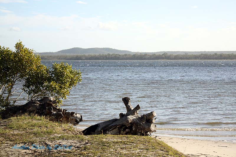
After completing this loop, the plan was to head to Harry's Hut via the Cooloolah Way, but it was barricaded and had signs about flooding. I guess it rained more than we thought overnight. A quick look at the maps on the iPad and we were able to bypass the closed section by travelling a little further west and then south along the border of forestry and National Park and eventually through the National Park. The were a few small water crossings to make the otherwise boring tack a little less so. It was only boring from a 4WD'ing point of view as it presented no challenges, but the scenery was nice. Nature is always nice.
We rejoined the Cooloolah Way at it's southern closure point and continued to the Harry's Hut turn off and then it was an easy 10kms to drive to the camping & day use area. The tracks in this area were in way better condition that when I last drove them. After having lunch at Harry's Hut we made our way back to the main road, aired up again and headed back to the Bruce Highway via Kin Kin and Pomona. Pulling back into our driveway in Caloundra the trip metre read 495.1 kilometres and about 1/8th of a tank of fuel left. After being home for about 10 minutes and having unpacked only a 1/4 of the car, down came the rain. Apart from that and the overnight rain at camp, the weather was pretty good to us.
This was the first time I had done this trip with so much gear in the car and I would say that even though nearly half of our driving was off road, it wasn't all in 4wd. With a petrol 4 cylinder you really need to stay down a gear and keep the revs up in the soft stuff, especially with my non standard diff ratios and wheel/tyre diameter, and this chews fuel. Not to mention how much weight I was carrying. I would really like a bigger fuel tank. Onto the photos now and I will use some from a previous trip for the incidental things. I hope you enjoyed the read, and I hope you enjoy the photos.
If you have any questions or comments about this trip, please use the "Trip Comments" category on the blog page.
Please note: I have used some photos from a previous trip to fill in certain "photographical blanks". A couple are from the "Camp Milo" loop track and the others were from Harry's Hut where we had lunch.


All photos may be purchased for a nominal fee by going to the "shop" page and filling out the form. Please be sure to quote the image numbers exactly as they appear when you mouseover the image. eg; the last image above is "CC-R67". Fees and ordering instructions can be found on the shop page. Any and all profits from photo sales go toward prizes in the "SEQ Overnighters 4X4" facebook group.
- Back to trips | back to top -
HOME | ABOUT/CONTACT | MY CAR | MODIFICATIONS | TRIPS | GALLERY | BLOG | LINKS
Updates | Mistakes & Regrets | Electrical | Rocksliders | Roof Accessories | The Drawers
All content ©Copyright Stuart Whitehouse 2014 - Unless otherwise stated.
Images on this site may be purchase by using the form on another site here. Simply take note of the image I.D number.
